Old Maps of Jackson Township, South Dakota for Genealogy
Trace your family roots with 31 historic maps of Jackson Township. These high-res maps reveal old neighborhoods, homesites, landmarks, and streets — helping you uncover where your ancestors lived and how the area evolved over time.
- Explore historic neighborhoods: Identify where your relatives may have lived in the 1800s or 1900s.
- Compare maps over time: Trace the changes in streets, buildings, and landmarks for multi-generational research.
- Perfect for genealogy & ancestry research: Used by family historians and researchers to map out lineage and migration.
These maps are an incredible resource for exploring your personal connection to Jackson Township's past.
Jackson Township, SD maps
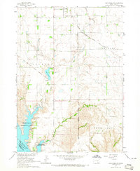
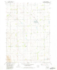
(31)- 1955 Map of Mitchell, 1973 Print
 1955 Mitchell1973 Print · USGSThe Missouri River valley undergoes a massive transformation in the mid-1950s as the Fort Randall Dam creates Lake Francis Case. You can trace the rail lines of the Chicago Milwaukee St Paul and Pacific through Mitchell or locate local landmarks like Butler Town Hall.2 unique versions available
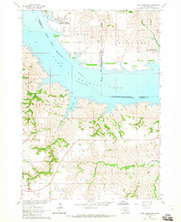
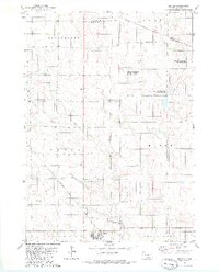
 - 1959 Map of Mitchell
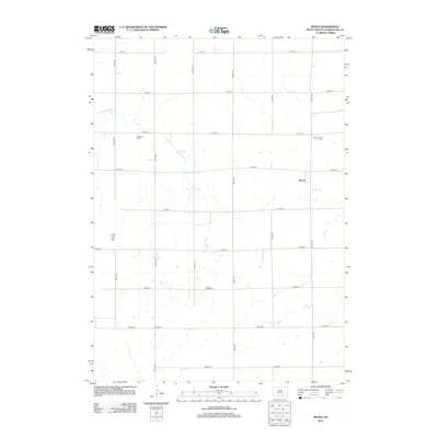
 1959 Mitchell1959 Print · USGSSouth Dakota’s river and rail corridors come alive in the late fifties as the Missouri River valley undergoes dramatic change. Genealogists and historians can trace family roots through numerous small towns and schools such as Academy, Stickney, and Gregory.2 unique versions available
 - 1964 Map of Campbell Creek, 1965 Print
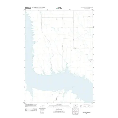
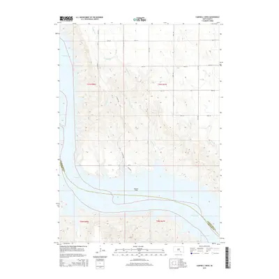
 1964 Campbell Creek1965 Print · USGSThe Missouri River valley in the early 1960s shows a landscape reshaped by the Missouri River Basin development program and the creation of the Fort Randall reservoir. Genealogists and local historians can trace legacy land divisions along the Fort Randall Military Reservation Boundary and find early recreation sites like Pease Creek Recreation Area.
 - 1964 Map of Lake Andes NW, 1965 Print
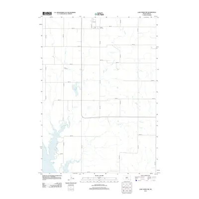
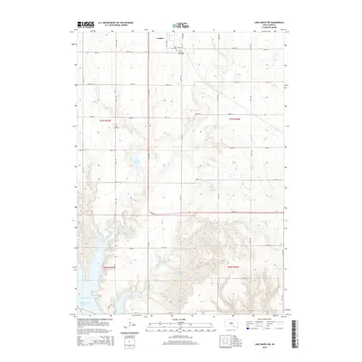
 1964 Lake Andes NW1965 Print · USGSCharles Mix County is captured in the mid-sixties as the Missouri River reservoir system transforms the landscape. Genealogists and historians can trace the Old Fort Randall Military Road and locate family sites near St Anns Cem and Geddes.2 unique versions available
 - 1964 Map of Lake Andes SW, 1965 Print
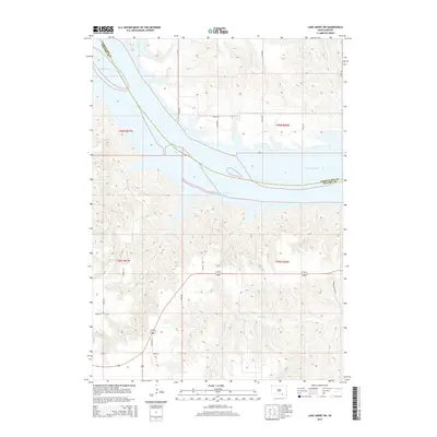
 1964 Lake Andes SW1965 Print · USGSThe Missouri River valley appears here in the mid-1960s as a newly formed reservoir landscape following the Fort Randall Dam project. Researchers can trace the sprawling Lake Francis Case and identify critical land divisions like the Yankton Indian Reservation Boundary and the historic Fort Randall grounds.
 - 1977 Map of Lake Andes NW, 1979 Print
 1977 Lake Andes NW1979 Print · USGSThe prairie landscape of Charles Mix County is captured in the late seventies, showing the transition from grid-patterned fields to the river bluffs. Genealogists and land researchers can trace the area around Geddes and the extensive shoreline of Lake Francis Case.
 - 1977 Map of Lake Andes SW, 1979 Print
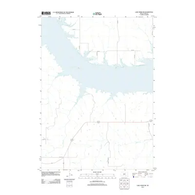
 1977 Lake Andes SW1979 Print · USGSThe Missouri River bluffs and the rising waters of Lake Francis Case are captured in this late-1970s aerial survey. Trace the historic grounds of Fort Randall and the path of US Highway 18 as they intersect this South Dakota landscape.
 - 1979 Map of Bovee, 1980 Print
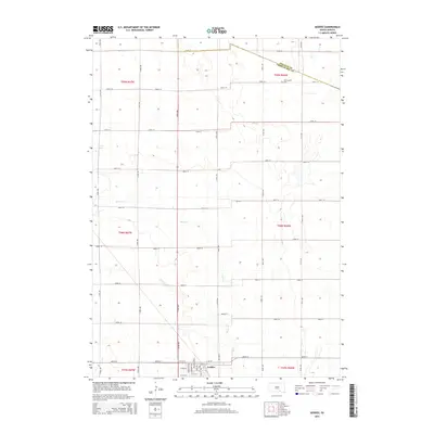
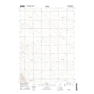
 1979 Bovee1980 Print · USGSCharles Mix County is captured here in the late 1970s as a landscape of prairie townships and rail-connected settlements. Genealogists and historians can locate Edgerton and Bloomington or trace the Chicago Milwaukee St Paul and Pacific line near Bovee.
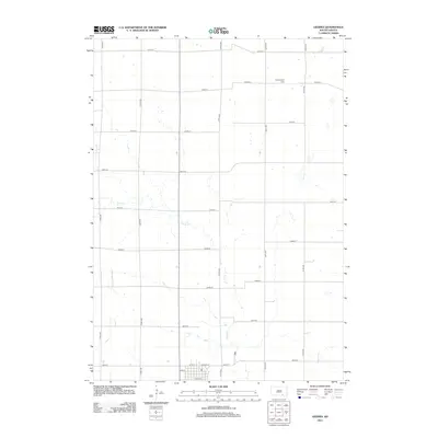
 - 1979 Map of Geddes, 1980 Print
 1979 Geddes1980 Print · USGSGeddes and the surrounding townships of Charles Mix County are documented here during the late seventies, showing a landscape defined by prairie rail lines and waterfowl conservation. You can trace the path of the Chicago Milwaukee St Paul and Pacific railroad or locate the Morningside Cem and Pease Creek.
 - 1986 Map of Lake Andes
 1986 Lake Andes1986 Print · USGSThe Yankton Indian Reservation and the vast Missouri River impoundments define this South Dakota landscape in the mid-eighties. Researchers can trace old township lines and the Old Railroad Grade, or locate sites like Fort Randall and the Pleasant Ridge Cem.3 unique versions available
 - 1990 Map of Mitchell, 1991 Print
 1990 Mitchell1991 Print · USGSThe Missouri River and the surrounding South Dakota plains are captured here in the early nineties, showing a landscape shaped by water and wire. Genealogists and historians can trace the gridded townships from Mitchell to the Bijou Hills, locating sites like the Platte Colony and Academy.
 - 2012 Map of Geddes, 2012 Print
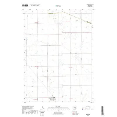
 2012 Geddes2012 Print · USGSCovers Jackson Township, including Geddes, Goose Lake Township, and other nearby areas
 - 2012 Map of Lake Andes SW, 2012 Print
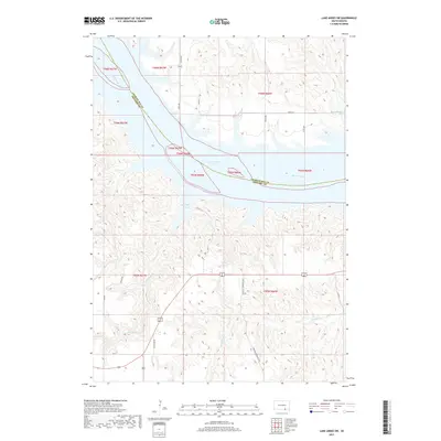
 2012 Lake Andes SW2012 Print · USGSCovers Jackson Township, including White Swan Township, Charles Mix County, and other nearby areas
 - 2012 Map of Bovee, 2012 Print
 2012 Bovee2012 Print · USGSCovers Jackson Township, including Darlington Township, Rhoda Township, and other nearby areas
 - 2012 Map of Campbell Creek, 2012 Print
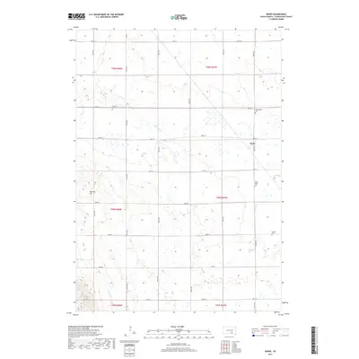
 2012 Campbell Creek2012 Print · USGSCovers Jackson Township, including Signal Township, Charles Mix County, and other nearby areas
 - 2012 Map of Lake Andes NW, 2012 Print
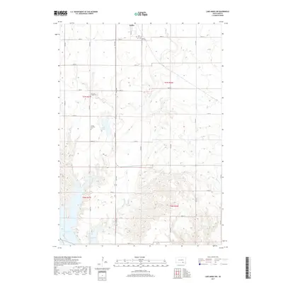
 2012 Lake Andes NW2012 Print · USGSCovers Jackson Township, including Geddes, White Swan Township, and other nearby areas
 - 2015 Map of Lake Andes SW, 2015 Print
 2015 Lake Andes SW2015 Print · USGSCovers Jackson Township, including White Swan Township, Charles Mix County, and other nearby areas
 - 2015 Map of Lake Andes NW, 2015 Print
 2015 Lake Andes NW2015 Print · USGSCovers Jackson Township, including Geddes, White Swan Township, and other nearby areas
 - 2015 Map of Geddes, 2015 Print
 2015 Geddes2015 Print · USGSCovers Jackson Township, including Geddes, Goose Lake Township, and other nearby areas
 - 2015 Map of Bovee, 2015 Print
 2015 Bovee2015 Print · USGSCovers Jackson Township, including Darlington Township, Rhoda Township, and other nearby areas
 - 2015 Map of Campbell Creek, 2015 Print
 2015 Campbell Creek2015 Print · USGSCovers Jackson Township, including Signal Township, Charles Mix County, and other nearby areas
 - 2017 Map of Geddes, 2017 Print
 2017 Geddes2017 Print · USGSCovers Jackson Township, including Geddes, Goose Lake Township, and other nearby areas
 - 2017 Map of Lake Andes NW, 2017 Print
 2017 Lake Andes NW2017 Print · USGSCovers Jackson Township, including Geddes, White Swan Township, and other nearby areas
 - 2017 Map of Lake Andes SW, 2017 Print
 2017 Lake Andes SW2017 Print · USGSCovers Jackson Township, including White Swan Township, Charles Mix County, and other nearby areas
 - 2017 Map of Bovee, 2017 Print
 2017 Bovee2017 Print · USGSCovers Jackson Township, including Darlington Township, Rhoda Township, and other nearby areas
Showing maps 1-25 of 31
Top cities near Jackson Township
- Platte historical maps
- Lake Andes historical maps
- Bonesteel historical maps
- Geddes historical maps
- Pickstown historical maps
- Fairfax historical maps
See more
Frequently asked questions
- What are the different types of historical maps available for Jackson Township?
- What is the oldest map of Jackson Township?
- Where can I purchase historical maps of Jackson Township for my home or office?
- Where can I download high-res historical maps of Jackson Township?
- Are there historical topographic maps available for Jackson Township?
- Is there historical aerial imagery available for Jackson Township?
- Where are historical maps of Jackson Township sourced from?