Old Maps of Maple Leaf, McLaughlin
Explore 9 old maps of Maple Leaf, spanning from 1953 to today. These high-resolution historic maps reveal how streets, neighborhoods, landmarks, and natural features evolved over time — perfect for genealogy, metal detecting, research, and local history exploration.
What you can do with these maps:
- See how Maple Leaf changed over time: Compare historical maps to modern-day views to trace roads, homesites, rail lines & more.
- View detailed metadata: Each map includes creators, publishers, year, scale, and archive source.
- Overlay maps with satellite & LiDAR: Visualize the past alongside modern tools to explore terrain & human change.
- Trusted historical sources: Maps sourced from the USGS, Library of Congress, and other archives.
- Access maps your way: View online, download high-res files, or order prints for personal or research use.
Start exploring old maps of Maple Leaf to uncover forgotten places, hidden landmarks, and the deep history beneath your feet.
Maple Leaf, McLaughlin maps
(9)- 1953 Map of McIntosh, 1965 Print
 1953 McIntosh1965 Print · USGSThe north-central Dakota prairie is captured here during the mid-fifties, showing the vast Standing Rock Indian Reservation and the newly formed Oah E Reservoir. Genealogists and historians can trace the Chicago Milwaukee St Paul and Pacific rail line through stops like McIntosh, Walker, and Eagle Butte.3 unique versions available
 - 1958 Map of McIntosh
 1958 McIntosh1958 Print · USGSThe north-central Dakotas appear here in the mid-1950s as massive engineering projects and rail lines shaped the plains. Researchers can trace tribal lands within the Standing Rock Indian Reservation and locate local landmarks like the Keller Mine or the Virginia Siding.
 - 1971 Map of Maple Leaf, 1974 Print
 1971 Maple Leaf1974 Print · USGSThe northern plains borderland comes into focus in the early 1970s as the rail line still threads through the Standing Rock reservation. Researchers can trace the path of the Chicago Milwaukee St Paul and Pacific railroad through the settlement of Maple Leaf and along the banks of Oak Creek.
 - 1985 Map of Mobridge
 1985 Mobridge1985 Print · USGSCrossing the Missouri River in the mid-1980s, this landscape reveals the intersection of the Standing Rock Indian Reservation and the rising waters of Lake Oahe. Researchers can locate significant historical markers such as Sitting Bulls Grave, St Elizabeth Mission Home, and the Leavenworth Monument.2 unique versions available
 - 2011 Map of Maple Leaf, 2011 Print
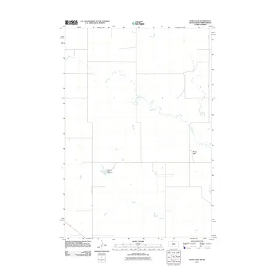 2011 Maple Leaf2011 Print · USGSCovers Maple Leaf, including McLaughlin, Fort Yates District, and other nearby areas
 - 2012 Map of Maple Leaf, 2012 Print
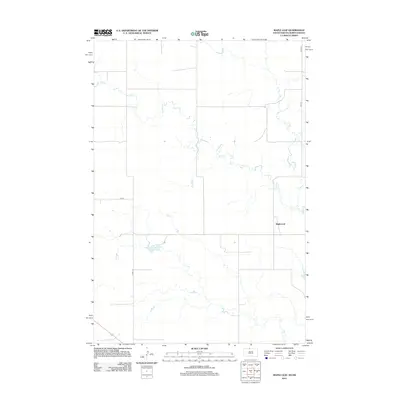 2012 Maple Leaf2012 Print · USGSCovers Maple Leaf, including McLaughlin, Fort Yates District, and other nearby areas
 - 2015 Map of Maple Leaf, 2015 Print
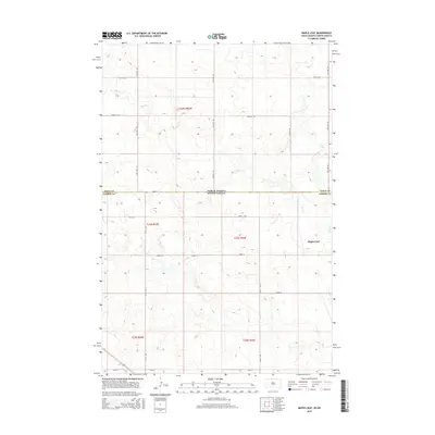 2015 Maple Leaf2015 Print · USGSCovers Maple Leaf, including McLaughlin, Fort Yates District, and other nearby areas
 - 2017 Map of Maple Leaf, 2017 Print
 2017 Maple Leaf2017 Print · USGSCovers Maple Leaf, including McLaughlin, Fort Yates District, and other nearby areas
 - 2021 Map of Maple Leaf, 2021 Print
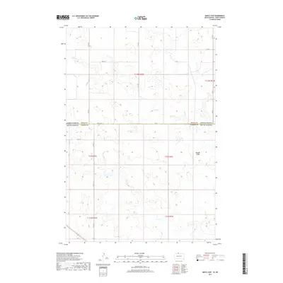
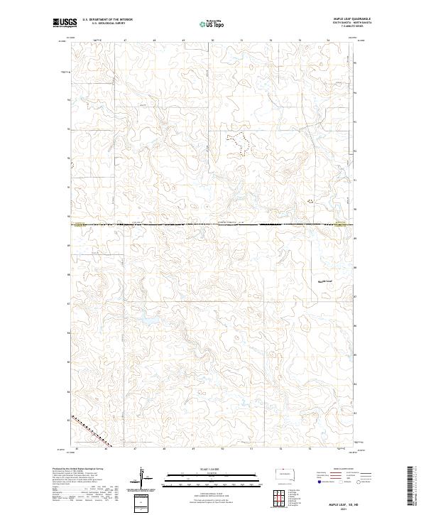 2021 Maple Leaf2021 Print · USGSThe northern plains at the border of the Dakotas come into focus in this recent survey of the prairie. Genealogists and historians can trace the rural infrastructure around Maple Leaf and the course of Oak Cr along the storied State Line St.
End of results
Showing maps 1-9 of 9
Top cities near Maple Leaf
- McLaughlin historical maps
- McLaughlin historical maps
- Wakpala historical maps
- Fort Yates District historical maps
- Selfridge historical maps
Frequently asked questions
- What are the different types of historical maps available for Maple Leaf?
- What is the oldest map of Maple Leaf?
- Where can I purchase historical maps of Maple Leaf for my home or office?
- Where can I download high-res historical maps of Maple Leaf?
- Are there historical topographic maps available for Maple Leaf?
- Is there historical aerial imagery available for Maple Leaf?
- Where are historical maps of Maple Leaf sourced from?