Old Maps of Folsom, South Dakota for Academic Research
Study the evolution of Folsom with 7 high-resolution historic maps. Whether you're teaching, researching, or modeling changes in land use, these maps provide essential visual documentation of urban, environmental, and geographic change.
- Analyze long-term change: Track patterns in development, transportation, and natural features.
- Ideal for environmental or urban studies: Support academic projects with primary historical map data.
- Use in the classroom or lab: Educators and researchers rely on these maps to bring historical context to life.
These maps are a powerful tool for teaching, research, and visualizing how Folsom has changed over the decades.
Folsom, SD maps
(7)- 1953 Map of Folsom, 1955 Print
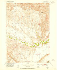 1953 Folsom1955 Print · USGSPennington and Custer counties appear here in the early fifties, when remote ranching outposts and high prairie flats defined the landscape. Genealogists and local researchers can locate the McMann Sch and trace the winding course of Spring Creek past Folsom.2 unique versions available
 - 1955 Map of Hot Springs, 1958 Print
 1955 Hot Springs1958 Print · USGSThe Black Hills and South Dakota badlands are captured here in the mid-fifties, during a peak of military and industrial activity. Researchers can locate the Black Hills Ordnance Depot, early Uranium Mines, and historic rail stops like Pringle or Oglala.5 unique versions available
 - 1981 Map of Wall
 1981 Wall1981 Print · USGSWestern South Dakota in the early eighties reveals a landscape of high tables and deep draws where the prairie meets the Badlands. Researchers can trace the path of the Chicago and North Western rail line and locate rural outposts like Scenic, Conata, and Interior.
 - 2012 Map of Folsom, 2012 Print
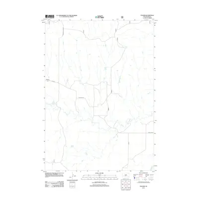 2012 Folsom2012 Print · USGSCovers Folsom, including Pennington County, Custer County, and other nearby areas
 - 2015 Map of Folsom, 2015 Print
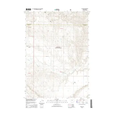 2015 Folsom2015 Print · USGSCovers Folsom, including Pennington County, Custer County, and other nearby areas
 - 2017 Map of Folsom, 2017 Print
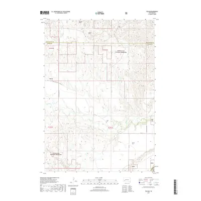 2017 Folsom2017 Print · USGSCovers Folsom, including Pennington County, Custer County, and other nearby areas
 - 2021 Map of Folsom, 2021 Print
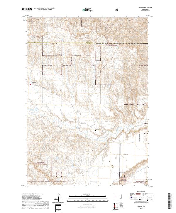 2021 Folsom2021 Print · USGSCuster County ranching and grasslands are the focus of this recent survey. Researchers can locate the Folsom Cem, trace the drainage of Spring Cr, and explore the topography around Railroad Buttes and Phiney Flat.
End of results
Showing maps 1-7 of 7
Top cities near Folsom
Frequently asked questions
- What are the different types of historical maps available for Folsom?
- What is the oldest map of Folsom?
- Where can I purchase historical maps of Folsom for my home or office?
- Where can I download high-res historical maps of Folsom?
- Are there historical topographic maps available for Folsom?
- Is there historical aerial imagery available for Folsom?
- Where are historical maps of Folsom sourced from?