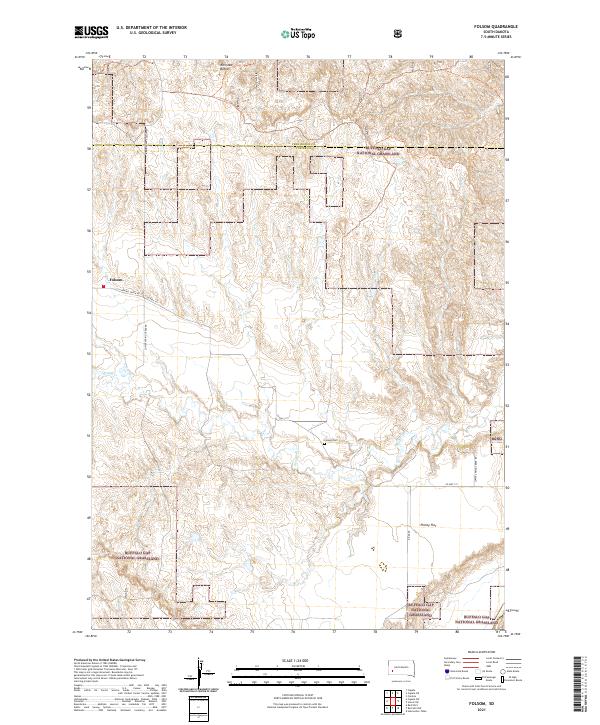
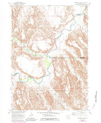
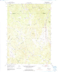
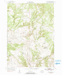
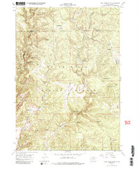
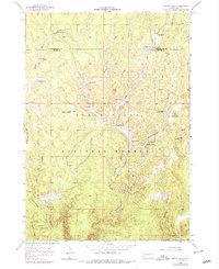
2021 Map of Folsom
USGS Topo · Published 2021This historical map portrays the area of Folsom in 2021, primarily covering Custer County as well as portions of Pennington County. Featuring a scale of 1:24000, this map provides a highly detailed snapshot of the terrain, roads, buildings, counties, and historical landmarks in the Folsom region at the time. Published in 2021, it is the sole known edition of this map.
Map Details
Editions of this 2021 Folsom Map
This is the sole edition of this map. No revisions or reprints were ever made.
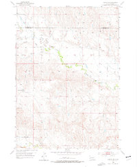
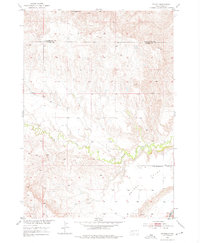
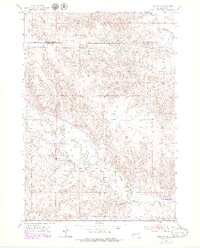
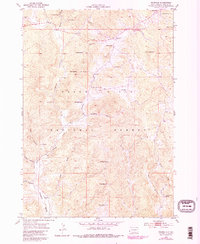
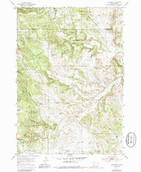
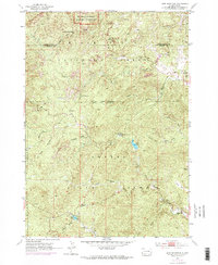
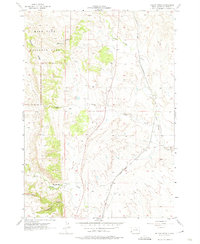
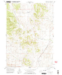
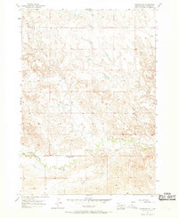
Historical Maps of Folsom Through Time
54 maps found

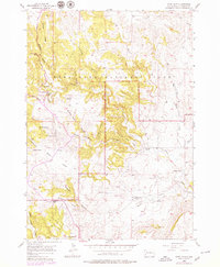
1896 Harney Peak
Custer County, SD
1901 Harney Peak
Custer County, SD
1951 Fairburn SE
Custer County, SD
1951 Red Shirt
Custer County, SD
1951 Red Shirt NE
Custer County, SD
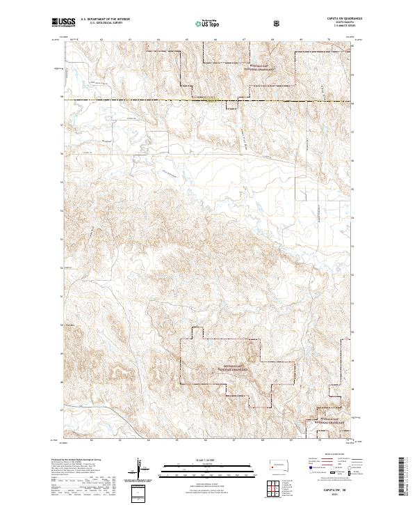
1953 Caputa SW
Custer County, SD
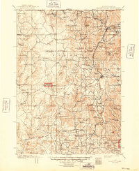
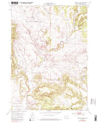
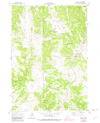
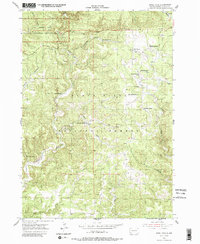
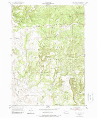
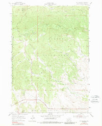
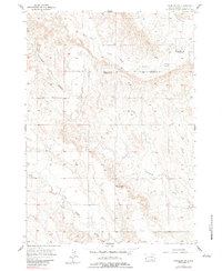
1953 Folsom
Custer County, SD
1953 Hermosa SE
Custer County, SD
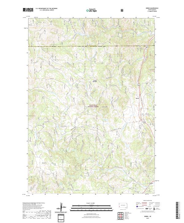
1954 Berne
Custer County, SD
1954 Fourmile
Custer County, SD
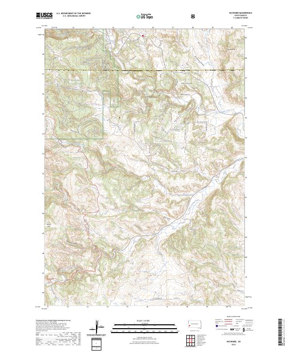
1954 Hayward
Custer County, SD
1954 Iron Mountain
Custer County, SD
1954 Jewel Cave SE
Custer County, SD
1954 Jewel Cave SW
Custer County, SD
1955 Argyle
Custer County, SD
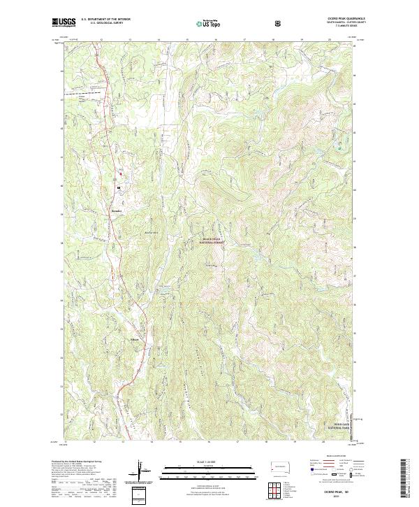
1955 Cicero Peak
Custer County, SD
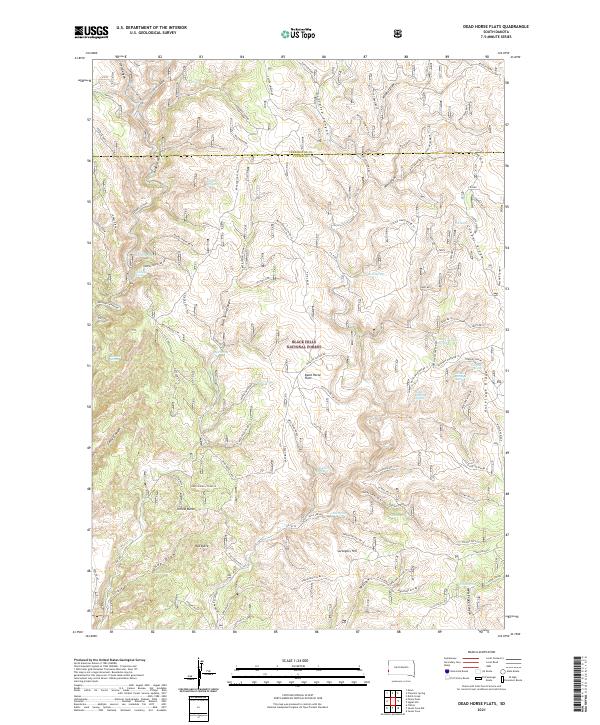
1955 Dead Horse Flats
Custer County, SD
1955 Jewel Cave
Custer County, SD
1955 Jewel Cave NW
Custer County, SD
1955 Mt. Coolidge
Custer County, SD
1955 Signal Hill
Custer County, SD
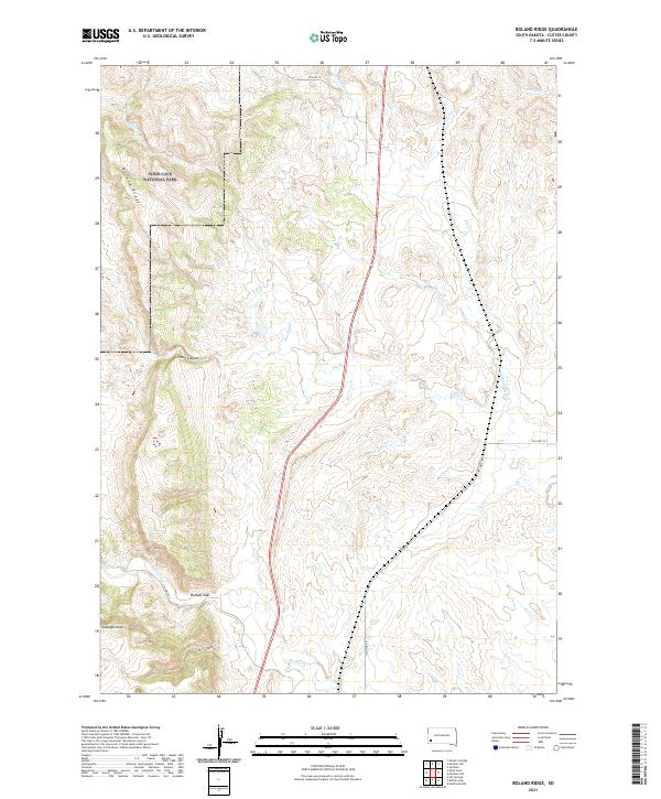
1957 Boland Ridge
Custer County, SD
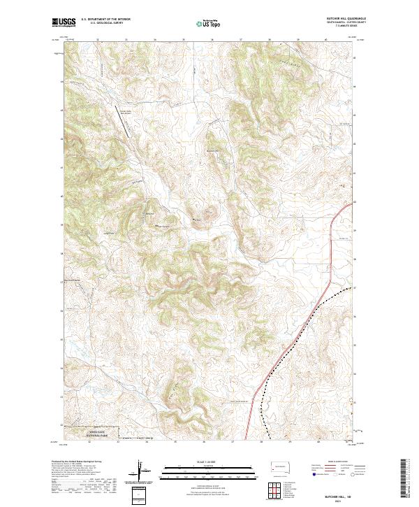
1957 Butcher Hill
Custer County, SD
1957 Fairburn NE
Custer County, SD
1957 Fairburn SW
Custer County, SD
1957 Wind Cave
Custer County, SD

1977 Mount Rushmore
Custer County, SD
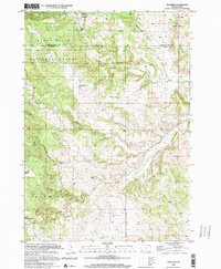
1998 Hayward
Custer County, SD

1998 Iron Mountain
Custer County, SD
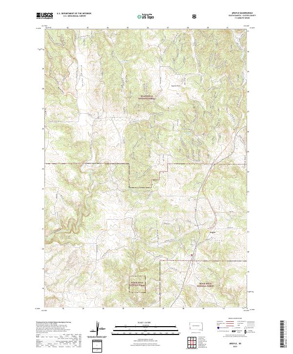
2021 Argyle
Custer County, SD
2021 Berne
Custer County, SD
2021 Boland Ridge
Custer County, SD
2021 Butcher Hill
Custer County, SD
2021 Caputa SW
Custer County, SD
2021 Cicero Peak
Custer County, SD
2021 Dead Horse Flats
Custer County, SD
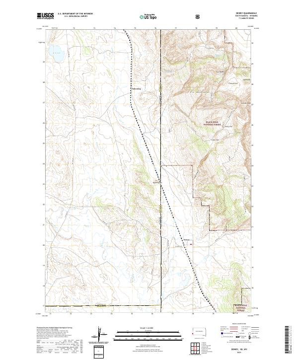
2021 Dewey
Custer County, SD
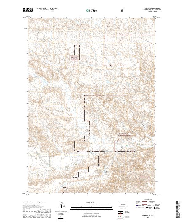
2021 Fairburn NE
Custer County, SD
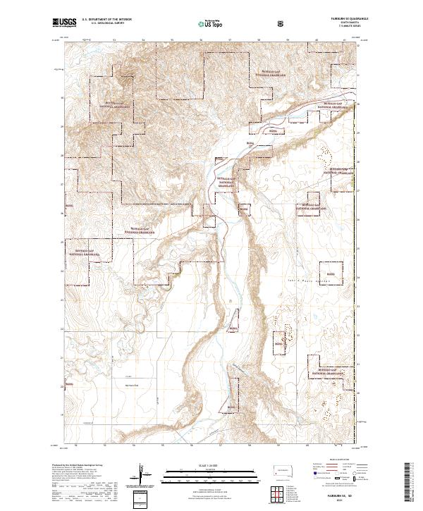
2021 Fairburn SE
Custer County, SD
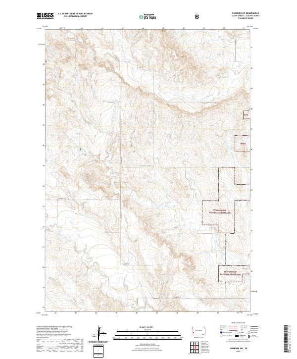
2021 Fairburn SW
Custer County, SD
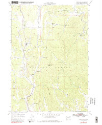
2021 Folsom
Custer County, SD
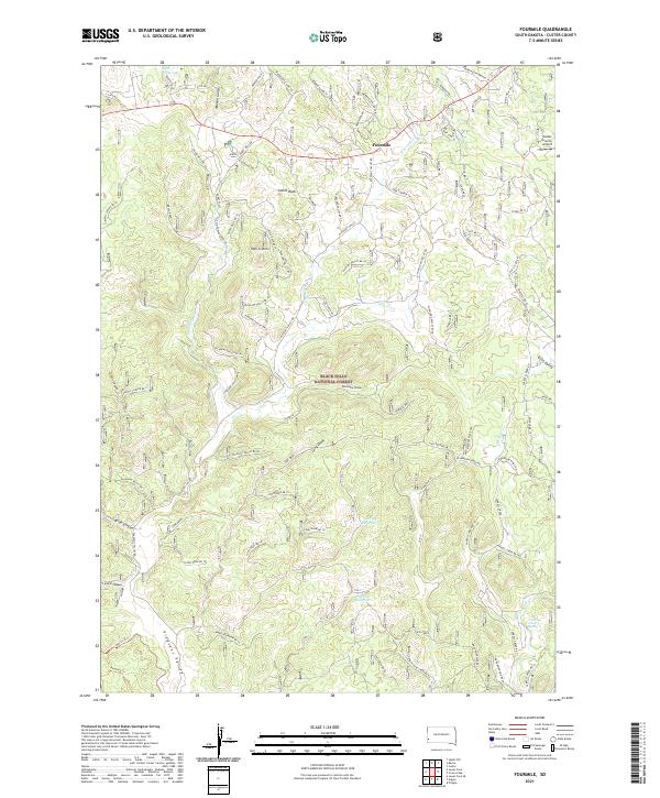
2021 Fourmile
Custer County, SD
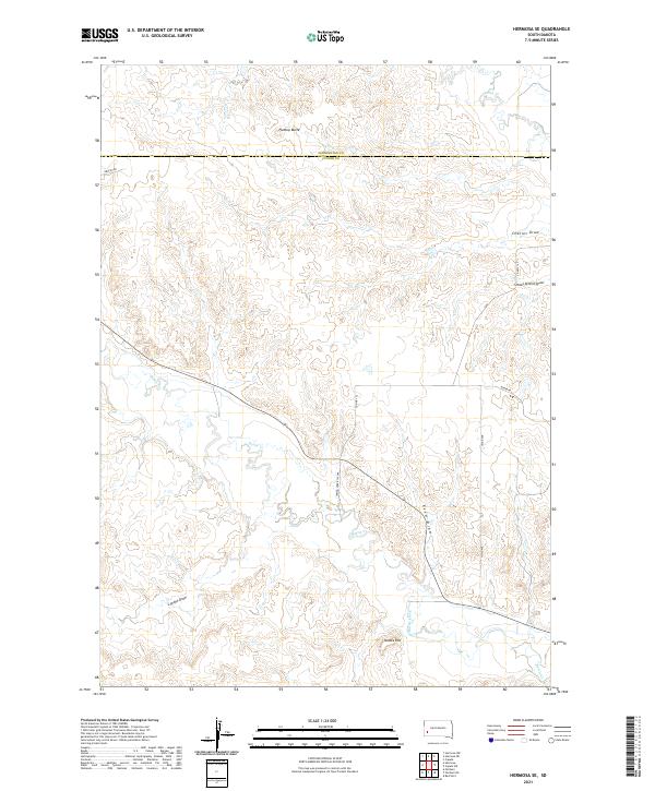
2021 Hermosa SE
Custer County, SD
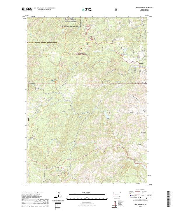
2021 Iron Mountain
Custer County, SD
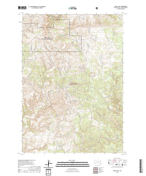
2021 Jewel Cave
Custer County, SD
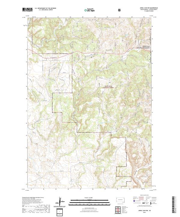
2021 Jewel Cave NW
Custer County, SD
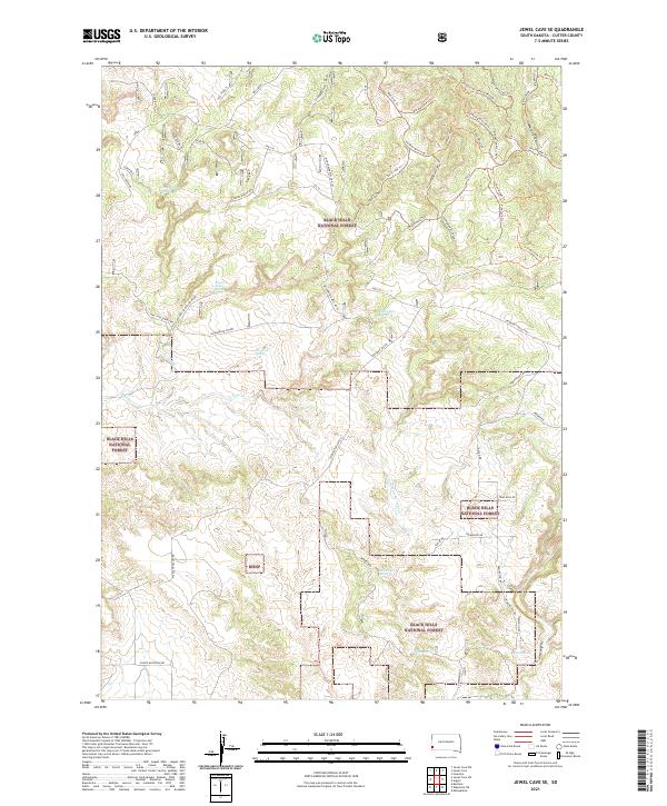
2021 Jewel Cave SE
Custer County, SD
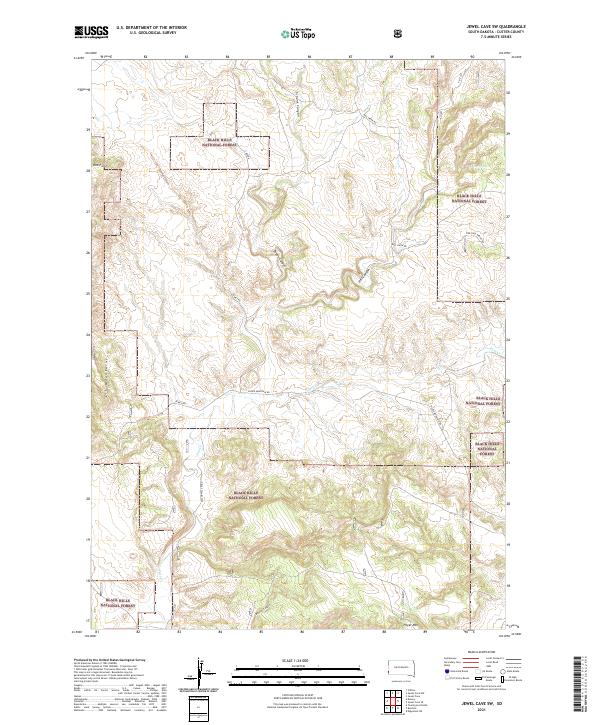
2021 Jewel Cave SW
Custer County, SD
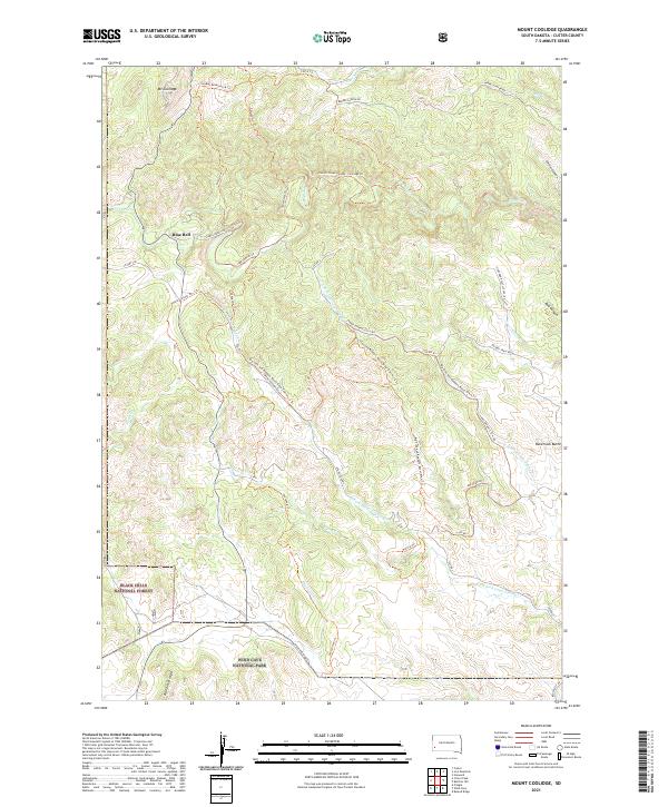
2021 Mount Coolidge
Custer County, SD
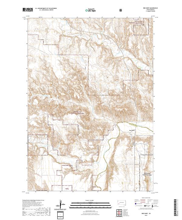
2021 Red Shirt
Custer County, SD
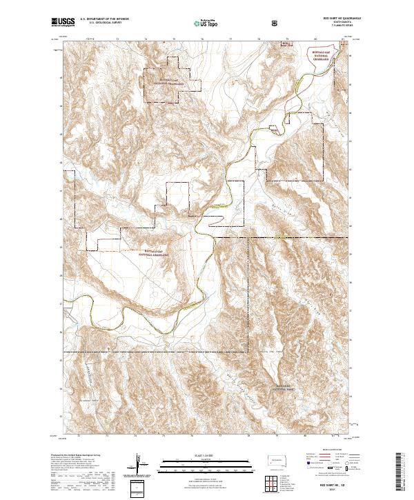
2021 Red Shirt NE
Custer County, SD
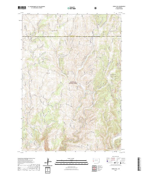
2021 Signal Hill
Custer County, SD
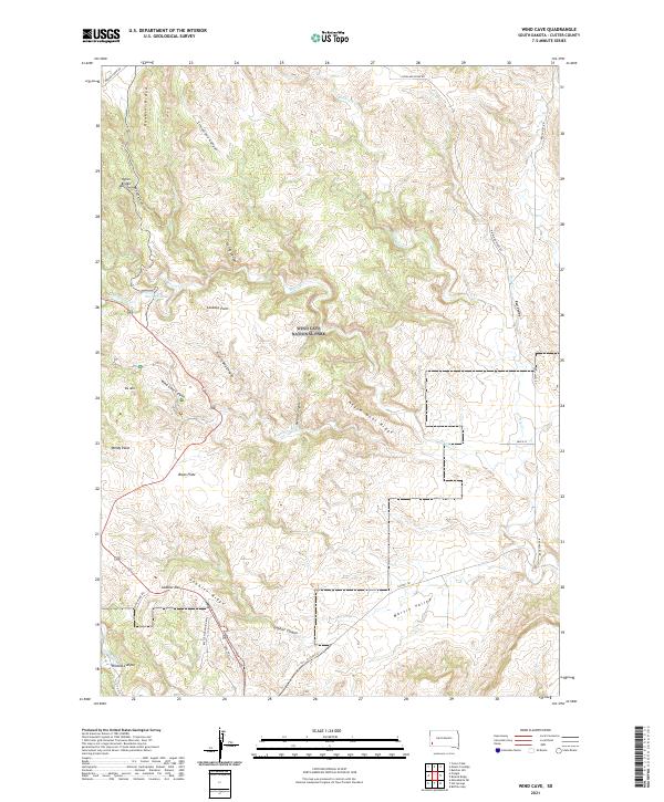
2021 Wind Cave
Custer County, SD
2023 Hayward
Custer County, SD