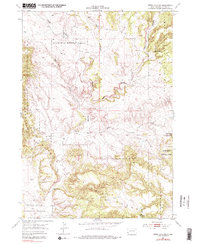
1954 Map of Jewel Cave SW
USGS Topo · Published 1979About this map
Black Hills National Forest land dominates this 1954 survey, showcasing a rugged limestone and sandstone landscape within the Elk Mountains. The terrain is defined by deep, winding drainage systems like Hell Canyon, Tepee Canyon, and Schenk Canyon, which carve through the high plateaus of western South Dakota. Water management in this arid environment is evident through several small-scale improvements, including Putnam Dam, Breasna Dam, and Walsh Well, indicating the importance of livestock watering holes for local ranching. The topographic detail highlights prominent natural landmarks such as the Pass Creek Wall and Red Point, as well as the high elevation of Pilger Mountain in the southern portion of the quadrangle. This sheet preserves a mid-century view of a remote frontier region where geographic features dictated the limited human activity and infrastructure.
Find a feature on this map
14 named features on this map. Tap any name to fly to it.
Don’t see what you’re looking for? This feature index may not catch every label — zoom into the map to look around manually.
Map Details
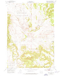
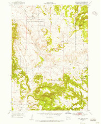
Editions of this 1954 Jewel Cave SW Map
3 editions found
Other maps of this area

1896 · Harney Peak
USGS Topo · 1:125,000

1899 · Newcastle
USGS Topo · 1:125,000

1901 · Harney Peak
USGS Topo · 1:125,000

1901 · Newcastle
USGS Topo · 1:125,000

1902 · Edgemont
USGS Topo · 1:125,000

1950 · Burdock
USGS Topo · 1:24,000

1950 · Edgemont NE
USGS Topo · 1:24,000

1951 · Dewey
USGS Topo · 1:24,000

1951 · Twentyone Divide
USGS Topo · 1:24,000

1951 · Clifton
USGS Topo · 1:24,000