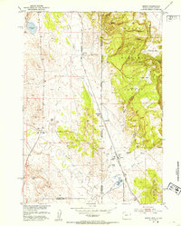
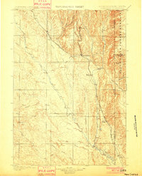
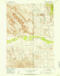
1951 Map of Dewey
USGS Topo · Published 1953About this map
The Chicago Burlington and Quincy railroad tracks define the industrial corridor of this borderland landscape, connecting the small settlements of Dakoming and Dewey along the line. Situated on the edge of the Harney National Forest, the terrain transitions from the elevations of Wyoming Hill and Twin Buttes in the east to the plains in the west.
Find a feature on this map
25 named features on this map. Tap any name to fly to it.
Don’t see what you’re looking for? This feature index may not catch every label — zoom into the map to look around manually.
Map Details
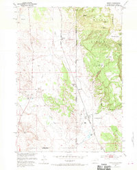
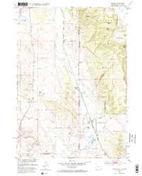
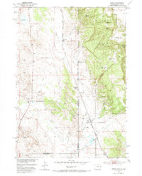
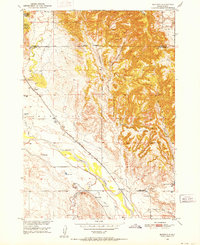
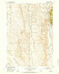
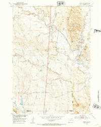
Editions of this 1951 Dewey Map
4 editions found
Other maps of this area

1896 · Harney Peak
USGS Topo · 1:125,000

1899 · Newcastle
USGS Topo · 1:125,000

1901 · Harney Peak
USGS Topo · 1:125,000
1901 · Newcastle
USGS Topo · 1:125,000

1902 · Edgemont
USGS Topo · 1:125,000
1950 · Burdock
USGS Topo · 1:24,000
1951 · Owens
USGS Topo · 1:24,000
1951 · Dewey SW
USGS Topo · 1:24,000
1951 · Twentyone Divide
USGS Topo · 1:24,000
1951 · Clifton
USGS Topo · 1:24,000