
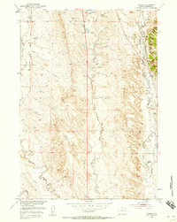
1951 Map of Owens
USGS Topo · Published 1953About this map
Stockade Beaver Creek and its tributaries carve through the eastern Wyoming landscape in this 1951 survey, reflecting the ranching and transportation patterns of Weston County. The small settlement of Owens sits near the eastern edge of the quadrangle, positioned alongside the Chicago Burlington and Quincy railroad line that follows the creek valley. This corridor represents the primary infrastructure of the region, connecting remote outposts like the M W Ranch to larger markets.
Find a feature on this map
14 named features on this map. Tap any name to fly to it.
Don’t see what you’re looking for? This feature index may not catch every label — zoom into the map to look around manually.
Map Details
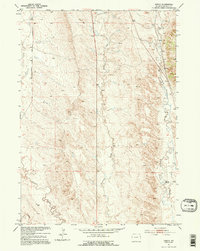
Editions of this 1951 Owens Map
3 editions found
Other maps of this area

1899 · Newcastle
USGS Topo · 1:125,000

1901 · Newcastle
USGS Topo · 1:125,000

1951 · Dewey
USGS Topo · 1:24,000

1951 · Dewey SW
USGS Topo · 1:24,000

1951 · Newcastle
USGS Topo · 1:24,000

1951 · Morrisey NE
USGS Topo · 1:24,000

1951 · Fanny Peak
USGS Topo · 1:24,000

1951 · Osage SE
USGS Topo · 1:24,000

1951 · Clifton
USGS Topo · 1:24,000

1955 · Newcastle
USGS Topo · 1:250,000