
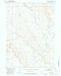
1951 Map of Morrisey NE
USGS Topo · Published 1953About this map
Beaver Creek and its tributary South Beaver Creek wind through this high plains landscape of Weston County, where early 1950s ranching and emerging energy extraction define the character of the terrain. The presence of the M Bar Ranch anchors the agricultural life of the area, supported by numerous Windmill installations scattered across the sections to provide water for livestock.
Find a feature on this map
11 named features on this map. Tap any name to fly to it.
Don’t see what you’re looking for? This feature index may not catch every label — zoom into the map to look around manually.
Map Details
Editions of this 1951 Morrisey NE Map
2 editions found
Other maps of this area

1899 · Newcastle
USGS Topo · 1:125,000

1901 · Newcastle
USGS Topo · 1:125,000

1951 · Owens
USGS Topo · 1:24,000

1951 · Dewey SW
USGS Topo · 1:24,000

1951 · Newcastle
USGS Topo · 1:24,000

1951 · Osage SE
USGS Topo · 1:24,000

1955 · Newcastle
USGS Topo · 1:250,000

1958 · Newcastle
USGS Topo · 1:250,000
1958 · Newcastle
USGS Topo · 1:62,500
1972 · Klodt Reservoir
USGS Topo · 1:24,000