
1951 Map of Osage SE
USGS Topo · Published 1953About this map
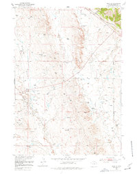
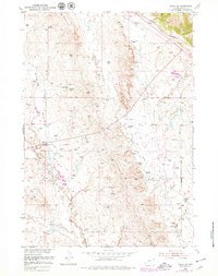
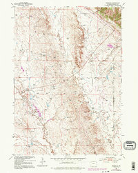
Sixmile Basin and the surrounding drainage of Skull Creek define this Wyoming landscape during the mid-century expansion of the Missouri River Basin project. The map reveals an industrial interior dominated by energy extraction, marked by a dense network of Oil Wells and a central Oil Pump Sta. While the Chicago Burlington and Quincy railroad cuts through the northeastern corner, the interior relies on a rugged infrastructure of Pipe Line routes and water management, including a series of Ditch segments and localized Windmill points. A unique environmental detail is the Hot Artesian Well (Polluted) near the Alum Creek headwaters. Local land use is further characterized by the solitary Boulden Ranch and several Gravel Pit operations, illustrating the transition from traditional ranching to a specialized mineral and oil economy.
Find a feature on this map
22 named features on this map. Tap any name to fly to it.
Don’t see what you’re looking for? This feature index may not catch every label — zoom into the map to look around manually.
Map Details
Editions of this 1951 Osage SE Map
4 editions found
Other maps of this area

1899 · Newcastle
USGS Topo · 1:125,000

1901 · Newcastle
USGS Topo · 1:125,000

1951 · Owens
USGS Topo · 1:24,000

1951 · Newcastle
USGS Topo · 1:24,000

1951 · Morrisey NE
USGS Topo · 1:24,000

1955 · Newcastle
USGS Topo · 1:250,000

1958 · Newcastle
USGS Topo · 1:250,000
1958 · Newcastle
USGS Topo · 1:62,500
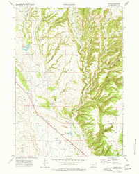
1972 · Pedro
USGS Topo · 1:24,000
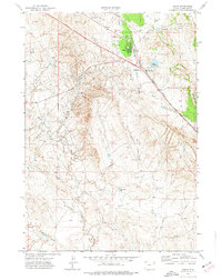
1972 · Osage
USGS Topo · 1:24,000