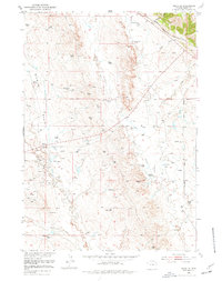
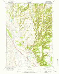
1951 Map of Osage SE
USGS Topo · Published 1977About this map
Sixmile Basin and the surrounding high plains of Weston County appear here during a period of intensive energy development and ranching in the early 1950s. The landscape is marked by an extensive network of Oil Wells, indicating the region's industrial importance during the post-war boom. While much of the terrain is defined by drainages like Skull Creek and Mush Creek, human activity is concentrated around infrastructure such as the Oil Pump Sta Tank and the Chicago Burlington and Quincy railroad line crossing the northern section. A notable local landmark, the Boulden Ranch, sits amidst the rugged drainage patterns, providing a touchpoint for genealogists and local historians tracking the intersection of private landholding and the oil industry. Of particular environmental interest is the Hot Artesian Well (Polluted) noted in the north, reflecting the complex relationship between resource extraction and the water table in this semi-arid environment.
Find a feature on this map
16 named features on this map. Tap any name to fly to it.
Don’t see what you’re looking for? This feature index may not catch every label — zoom into the map to look around manually.
Map Details
Editions of this 1951 Osage SE Map
4 editions found
Other maps of this area

1899 · Newcastle
USGS Topo · 1:125,000

1901 · Newcastle
USGS Topo · 1:125,000

1951 · Owens
USGS Topo · 1:24,000

1951 · Newcastle
USGS Topo · 1:24,000

1951 · Morrisey NE
USGS Topo · 1:24,000

1951 · Osage SE
USGS Topo · 1:24,000

1955 · Newcastle
USGS Topo · 1:250,000

1958 · Newcastle
USGS Topo · 1:250,000
1958 · Newcastle
USGS Topo · 1:62,500
1972 · Pedro
USGS Topo · 1:24,000