
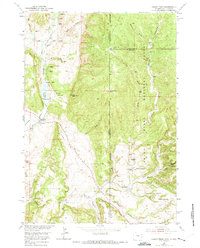
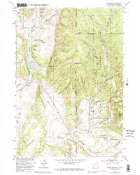
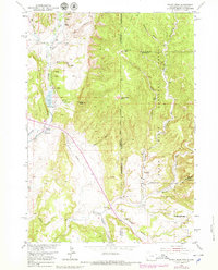
1951 Map of Fanny Peak
USGS Topo · Published 1953About this map
Fanny Peak and Frannie Peak dominate this 1951 landscape along the Wyoming and South Dakota state line, marking a rugged transition into the Harney National Forest. The map captures a high-plateau environment where deep incisions like Boles Canyon, Roby Canyon, and the curiously named Whoopup Canyon define the drainage patterns of the region.
Find a feature on this map
34 named features on this map. Tap any name to fly to it.
Don’t see what you’re looking for? This feature index may not catch every label — zoom into the map to look around manually.
Map Details
Editions of this 1951 Fanny Peak Map
4 editions found
Other maps of this area

1896 · Harney Peak
USGS Topo · 1:125,000

1899 · Newcastle
USGS Topo · 1:125,000

1901 · Harney Peak
USGS Topo · 1:125,000

1901 · Newcastle
USGS Topo · 1:125,000

1951 · Owens
USGS Topo · 1:24,000

1951 · Newcastle
USGS Topo · 1:24,000

1951 · Clifton
USGS Topo · 1:24,000

1955 · Dead Horse Flats
USGS Topo · 1:24,000

1955 · Jewel Cave NW
USGS Topo · 1:24,000

1955 · Hot Springs
USGS Topo · 1:250,000