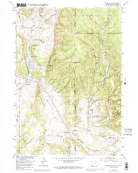
1951 Map of Fanny Peak
USGS Topo · Published 1979About this map
Fanny Peak and Frannie Peak stand as prominent landmarks along the high ridges of the Black Hills National Forest straddling the Wyoming and South Dakota border. This landscape reflects the intersection of early ranching and education, centered on the L A K Ranch and the isolated Sweet School in the northwest. Water management is a defining feature of the terrain, visible through the L A K Reservoir and a network of named drainages like Stockade Beaver Creek and Whoopup Creek. Mapping updates from the 1970s show the road to Gillette cutting through the southern canyons, while the presence of a Summit Ridge Lookout and various Artesian Wells suggests a history of resource monitoring and livestock support. Geologic activity is noted by an inactive Rock Quarry and a Gravel Pit, marking the shift in local industry by mid-century.
Find a feature on this map
35 named features on this map. Tap any name to fly to it.
Don’t see what you’re looking for? This feature index may not catch every label — zoom into the map to look around manually.
Map Details
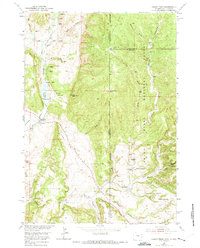
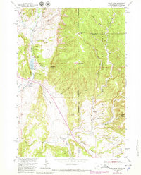
Editions of this 1951 Fanny Peak Map
4 editions found
Other maps of this area

1896 · Harney Peak
USGS Topo · 1:125,000

1899 · Newcastle
USGS Topo · 1:125,000

1901 · Harney Peak
USGS Topo · 1:125,000

1901 · Newcastle
USGS Topo · 1:125,000

1951 · Owens
USGS Topo · 1:24,000

1951 · Newcastle
USGS Topo · 1:24,000

1951 · Fanny Peak
USGS Topo · 1:24,000

1951 · Clifton
USGS Topo · 1:24,000

1955 · Dead Horse Flats
USGS Topo · 1:24,000

1955 · Jewel Cave NW
USGS Topo · 1:24,000