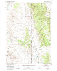
1951 Map of Dewey
USGS Topo · Published 1985About this map
The Chicago Burlington and Quincy railroad corridor serves as the industrial spine of this borderland, where Wyoming meets South Dakota. In the early 1950s, the landscape around the settlement of Dewey was defined by its water resources and mineral extraction, noted by several artesian wells and the Lucky Strike Bentonite Mine. The rugged eastern portion of the map transitions into the Harney National Forest, featuring prominent landmarks like Twin Buttes and Sullivan Peak.
Find a feature on this map
29 named features on this map. Tap any name to fly to it.
Don’t see what you’re looking for? This feature index may not catch every label — zoom into the map to look around manually.
Map Details
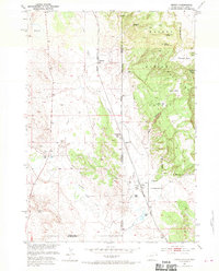
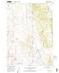
Editions of this 1951 Dewey Map
4 editions found
Other maps of this area

1896 · Harney Peak
USGS Topo · 1:125,000

1899 · Newcastle
USGS Topo · 1:125,000

1901 · Harney Peak
USGS Topo · 1:125,000

1901 · Newcastle
USGS Topo · 1:125,000

1902 · Edgemont
USGS Topo · 1:125,000

1950 · Burdock
USGS Topo · 1:24,000

1951 · Owens
USGS Topo · 1:24,000

1951 · Dewey
USGS Topo · 1:24,000

1951 · Dewey SW
USGS Topo · 1:24,000

1951 · Twentyone Divide
USGS Topo · 1:24,000