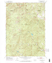
1954 Map of Iron Mountain
USGS Topo · Published 1976About this map
Mount Rushmore National Memorial anchors the northern boundary of this topographic survey, which spans a critical section of the Black Hills during the mid-20th century. The landscape is defined by the transition from protected federal lands within the Black Hills National Forest to the extensive grounds of Custer State Park. Mining history is heavily represented in the northeastern corner near Spokane, where the Spokane Mine and Cuyahoga Mine suggest the region's enduring extraction industry. Further south, the map details the development of recreational and cultural sites, including the Black Hills Playhouse and Camp Remington. This era of mapping documents the sophisticated infrastructure of the park system, from the Custer State Park Headquarters and State Park Sch to water features like Center Lake and Legion Lake, reflecting the growth of tourism and civic planning in the Black Hills.
Find a feature on this map
38 named features on this map. Tap any name to fly to it.
Don’t see what you’re looking for? This feature index may not catch every label — zoom into the map to look around manually.
Map Details
Editions of this 1954 Iron Mountain Map
5 editions found
Other maps of this area

1894 · Hermosa
USGS Topo · 1:125,000

1896 · Harney Peak
USGS Topo · 1:125,000

1901 · Hermosa
USGS Topo · 1:125,000

1901 · Harney Peak
USGS Topo · 1:125,000
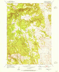
1954 · Rockerville
USGS Topo · 1:24,000

1954 · Iron Mountain
USGS Topo · 1:24,000
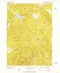
1954 · Mount Rushmore
USGS Topo · 1:24,000

1954 · Custer
USGS Topo · 1:24,000

1954 · Hill City
USGS Topo · 1:24,000

1954 · Hayward
USGS Topo · 1:24,000