
1954 Map of Custer
USGS Topo · Published 1955About this map
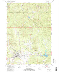
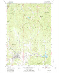
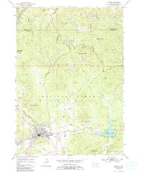
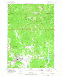
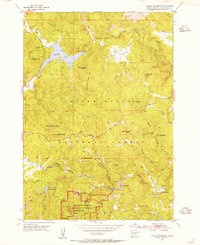
The town of Custer serves as the focal point of this mid-century survey, situated at the junction of French Creek and Sidney Creek within the Black Hills National Forest. The landscape is dominated by the geological formations of The Needles and the towering heights of Harney Peak, while the cultural landscape reflects an era of early tourism and persistent mineral extraction. Noteworthy sites include the site of the Crazy Horse Carving on Thunderhead Mountain, the winding path of Needles Drive, and a local Drive-in Theater. Mining activity is extensively documented through features like the Clara Belle Mine, Wild Rose Mine, and Victory Mine, illustrating the region's long-standing reliance on its natural resources. In the north, the small settlement of Oreville sits along the Chicago Burlington and Quincy railroad line, while recreational areas like Sylvan Lake and Stockade Lake anchor the eastern peaks.
Find a feature on this map
42 named features on this map. Tap any name to fly to it.
Don’t see what you’re looking for? This feature index may not catch every label — zoom into the map to look around manually.
Map Details
Editions of this 1954 Custer Map
5 editions found
Other maps of this area

1894 · Hermosa
USGS Topo · 1:125,000

1896 · Harney Peak
USGS Topo · 1:125,000

1901 · Hermosa
USGS Topo · 1:125,000

1901 · Harney Peak
USGS Topo · 1:125,000

1954 · Iron Mountain
USGS Topo · 1:24,000

1954 · Fourmile
USGS Topo · 1:24,000
1954 · Mount Rushmore
USGS Topo · 1:24,000

1954 · Hill City
USGS Topo · 1:24,000

1954 · Berne
USGS Topo · 1:24,000

1954 · Mount Rushmore
USGS Topo · 1:62,500