
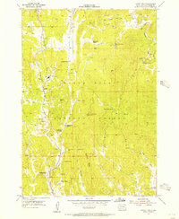
1954 Map of Fourmile
USGS Topo · Published 1955About this map
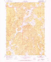
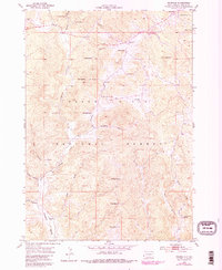
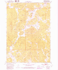
Mining operations and remote schoolhouses define this mid-century survey of the Black Hills National Forest. The landscape is heavily marked by mineral extraction, including the Tin Mountain Mine in the north and the New York Mine nestled near Hay Creek. These sites, along with others like the Helen Beryl Mine and White Spar Mine, point to the region's enduring geological significance during the atomic era, a focus underscored by the joint involvement of the Atomic Energy Commission. Small settlements like Fourmile and Ninemile serve as local hubs, supported by rural institutions such as the Fourmile Sch and Sevenmile Sch. The drainage patterns of Lightning Creek and Fourmile Creek carve through the terrain, while landmarks like Castle Rock and the Twin Sisters provide distinct navigational points for those traversing the forest.
Find a feature on this map
47 named features on this map. Tap any name to fly to it.
Don’t see what you’re looking for? This feature index may not catch every label — zoom into the map to look around manually.
Map Details
Editions of this 1954 Fourmile Map
4 editions found
Other maps of this area

1896 · Harney Peak
USGS Topo · 1:125,000

1901 · Harney Peak
USGS Topo · 1:125,000

1954 · Custer
USGS Topo · 1:24,000

1954 · Berne
USGS Topo · 1:24,000

1954 · Jewel Cave SE
USGS Topo · 1:24,000

1955 · Jewel Cave
USGS Topo · 1:24,000
1955 · Argyle
USGS Topo · 1:24,000

1955 · Signal Hill
USGS Topo · 1:24,000
1955 · Cicero Peak
USGS Topo · 1:24,000

1955 · Hot Springs
USGS Topo · 1:250,000