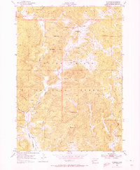
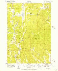
1954 Map of Fourmile
USGS Topo · Published 1973About this map
Black Hills National Forest land defines this mid-century landscape, where a legacy of mining activity is recorded across the high terrain of Custer County. The settlement at Fourmile serves as a central point for the surrounding resource extraction, which includes numerous named claims such as the White Spar Mine, Helen Beryl Mine, and the Rainbow No 4 Mine. The map documents a period of development where small rural institutions like the Fourmile Sch and Sevenmile Sch remained critical to the local community.
Find a feature on this map
32 named features on this map. Tap any name to fly to it.
Don’t see what you’re looking for? This feature index may not catch every label — zoom into the map to look around manually.
Map Details
Editions of this 1954 Fourmile Map
4 editions found
Other maps of this area

1896 · Harney Peak
USGS Topo · 1:125,000

1901 · Harney Peak
USGS Topo · 1:125,000

1954 · Fourmile
USGS Topo · 1:24,000

1954 · Custer
USGS Topo · 1:24,000

1954 · Berne
USGS Topo · 1:24,000

1954 · Jewel Cave SE
USGS Topo · 1:24,000

1955 · Jewel Cave
USGS Topo · 1:24,000
1955 · Argyle
USGS Topo · 1:24,000

1955 · Signal Hill
USGS Topo · 1:24,000
1955 · Cicero Peak
USGS Topo · 1:24,000