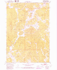
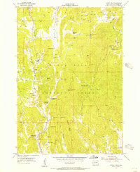
1954 Map of Fourmile
USGS Topo · Published 1979About this map
Mining operations and remote schoolhouses define this mid-century landscape within the Black Hills National Forest. The settlement of Fourmile serves as a central point for the region's extractive activity, surrounded by specialized prospects including the Tin Mountain Mine, Helen Beryl Mine, and the Tiptop Mine. This topography, based on 1950s aerial photography with late-1970s updates, shows a rugged economic environment where water management was critical, evidenced by the Venting Reservoir, Ward Reservoir, and McClure Dam. Local education is anchored by the Fourmile Sch and Sevenmile Sch, which were vital hubs for the families working these hills. The drainage network, featuring Fourmile Creek and Lightning Creek, dictates the placement of roads and camps, illustrating the historical reliance on natural valleys for passage through the canyon-scored terrain.
Find a feature on this map
36 named features on this map. Tap any name to fly to it.
Don’t see what you’re looking for? This feature index may not catch every label — zoom into the map to look around manually.
Map Details
Editions of this 1954 Fourmile Map
4 editions found
Other maps of this area

1896 · Harney Peak
USGS Topo · 1:125,000

1901 · Harney Peak
USGS Topo · 1:125,000

1954 · Fourmile
USGS Topo · 1:24,000

1954 · Custer
USGS Topo · 1:24,000

1954 · Berne
USGS Topo · 1:24,000

1954 · Jewel Cave SE
USGS Topo · 1:24,000

1955 · Jewel Cave
USGS Topo · 1:24,000
1955 · Argyle
USGS Topo · 1:24,000

1955 · Signal Hill
USGS Topo · 1:24,000
1955 · Cicero Peak
USGS Topo · 1:24,000