
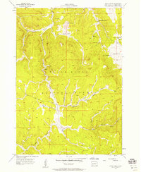
1955 Map of Signal Hill
USGS Topo · Published 1956About this map
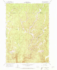
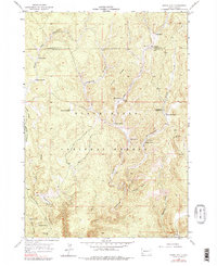
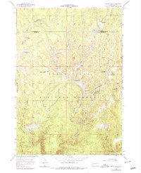
Black Hills National Forest land dominates this mid-1950s survey of the high country straddling the Pennington and Custer county line. The landscape is defined by deep incisions like Hell Canyon and its western fork, West Hell Canyon, which cut through the high ridges of the Black Hills. In this era, the area's human activity revolved around isolated ranching outposts and forestry management. A lone Lookout Tower stands atop Signal Hill, keeping watch over the timbered slopes, while scattered water sources such as Bear Spring and Alkali Spring supported local livestock. The map records the presence of the Alkali Sch (Abandoned), suggesting a contraction of the rural population as one-room schoolhouses were consolidated or left behind. Ranching families like the Dolls, Elliots, and Gahls are noted here, providing essential data for those tracing the agricultural history of western South Dakota.
Find a feature on this map
31 named features on this map. Tap any name to fly to it.
Don’t see what you’re looking for? This feature index may not catch every label — zoom into the map to look around manually.
Map Details
Editions of this 1955 Signal Hill Map
4 editions found
Other maps of this area

1896 · Harney Peak
USGS Topo · 1:125,000

1901 · Harney Peak
USGS Topo · 1:125,000

1954 · Fourmile
USGS Topo · 1:24,000

1954 · Berne
USGS Topo · 1:24,000

1955 · Dead Horse Flats
USGS Topo · 1:24,000

1955 · Jewel Cave NW
USGS Topo · 1:24,000

1955 · Jewel Cave
USGS Topo · 1:24,000

1955 · Hot Springs
USGS Topo · 1:250,000
1956 · Custer
USGS Topo · 1:62,500
1956 · Ditch Creek
USGS Topo · 1:24,000