
1954 Map of Mount Rushmore
USGS Topo · Published 1958About this map
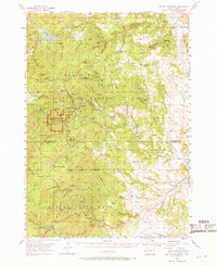
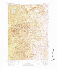
Black Hills National Forest and Custer State Park dominate this mid-century landscape, centered on the Mount Rushmore National Memorial. The map documents a dense concentration of mineral extraction sites surrounding Keystone, including the Etta Mine, Peerless Mine, and Hugo Mine. To the east, the settlement of Rockerville sits along Rockerville Gulch, while the community of Spokane and the Cuyahoga Mine are positioned near the border of Pennington and Custer counties.
Find a feature on this map
82 named features on this map. Tap any name to fly to it.
Don’t see what you’re looking for? This feature index may not catch every label — zoom into the map to look around manually.
Map Details
Editions of this 1954 Mount Rushmore Map
3 editions found
Other maps of this area

1893 · Rapid
USGS Topo · 1:125,000

1894 · Deadwood
USGS Topo · 1:125,000

1894 · Hermosa
USGS Topo · 1:125,000

1896 · Harney Peak
USGS Topo · 1:125,000

1898 · Rapid
USGS Topo · 1:125,000

1901 · Hermosa
USGS Topo · 1:125,000

1901 · Harney Peak
USGS Topo · 1:125,000

1901 · Deadwood
USGS Topo · 1:125,000

1903 · Rapid
USGS Topo · 1:125,000

1916 · Deadwood
USGS Topo · 1:125,000