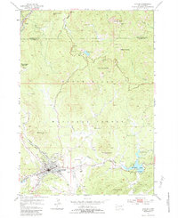
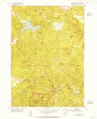
1954 Map of Custer
USGS Topo · Published 1983About this map
Custer sits at the southern heart of this mid-century survey, its grid defined by the Chicago Burlington and Quincy railroad and the winding French Creek. The surrounding Black Hills National Forest reveals a landscape transitioning from resource extraction to early modern tourism. While numerous mining sites like the Clara Belle Mine and Gap Lode Mine dot the granite outcrops, the emerging cultural significance of the region is evident at Thunderhead Mountain, where the Crazy Horse Carving is noted during its early years of creation.
Find a feature on this map
40 named features on this map. Tap any name to fly to it.
Don’t see what you’re looking for? This feature index may not catch every label — zoom into the map to look around manually.
Map Details
Editions of this 1954 Custer Map
5 editions found
Other maps of this area

1894 · Hermosa
USGS Topo · 1:125,000

1896 · Harney Peak
USGS Topo · 1:125,000

1901 · Hermosa
USGS Topo · 1:125,000

1901 · Harney Peak
USGS Topo · 1:125,000

1954 · Iron Mountain
USGS Topo · 1:24,000

1954 · Fourmile
USGS Topo · 1:24,000
1954 · Mount Rushmore
USGS Topo · 1:24,000

1954 · Custer
USGS Topo · 1:24,000

1954 · Hill City
USGS Topo · 1:24,000

1954 · Berne
USGS Topo · 1:24,000