
1954 Map of Hayward
USGS Topo · Published 1955About this map
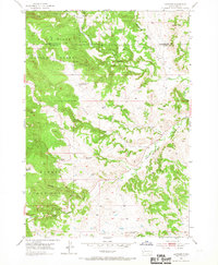
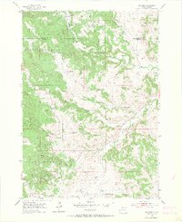
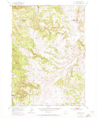
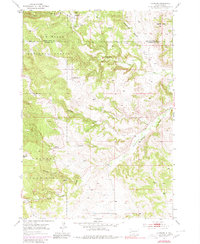
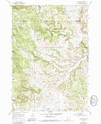
Hayward and the mining settlement of Spokane anchor this mid-century survey of the Black Hills, where the border between Pennington and Custer counties cuts through a landscape defined by deep gulches and high peaks. The presence of Mine Dumps and unnamed mines near Spokane Creek reflects the region's enduring extraction history. Education and community life are represented by Central Sch and Cobb Sch, while the natural wonders of the territory are highlighted by the location of Rushmore Cave in the north.
Find a feature on this map
22 named features on this map. Tap any name to fly to it.
Don’t see what you’re looking for? This feature index may not catch every label — zoom into the map to look around manually.
Map Details
Editions of this 1954 Hayward Map
6 editions found
Other maps of this area

1894 · Hermosa
USGS Topo · 1:125,000

1901 · Hermosa
USGS Topo · 1:125,000

1953 · Hermosa NW
USGS Topo · 1:24,000

1953 · Hermosa
USGS Topo · 1:24,000
1954 · Rockerville
USGS Topo · 1:24,000

1954 · Iron Mountain
USGS Topo · 1:24,000
1954 · Mount Rushmore
USGS Topo · 1:24,000

1954 · Mount Rushmore
USGS Topo · 1:62,500

1955 · Mt. Coolidge
USGS Topo · 1:24,000

1955 · Hot Springs
USGS Topo · 1:250,000