
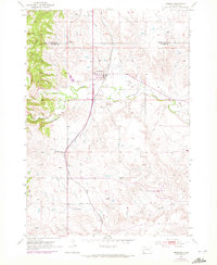
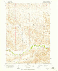
1953 Map of Hermosa
USGS Topo · Published 1955About this map
Hermosa serves as a central hub on this 1950s survey of the South Dakota plains, situated where the Chicago and North Western railroad tracks bisect the landscape. The town is marked by local necessities including a Cem and a nearby Reservoir, reflecting the vital infrastructure required for life on the edge of the Black Hills. The topography is defined by the drainage patterns of Battle Creek, which receives the waters of Grace Coolidge Creek and Billover Creek as they flow eastward from the rising elevations to the west.
Find a feature on this map
12 named features on this map. Tap any name to fly to it.
Don’t see what you’re looking for? This feature index may not catch every label — zoom into the map to look around manually.
Map Details
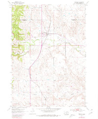
Editions of this 1953 Hermosa Map
3 editions found
Other maps of this area

1894 · Hermosa
USGS Topo · 1:125,000

1901 · Hermosa
USGS Topo · 1:125,000

1953 · Hermosa NW
USGS Topo · 1:24,000

1953 · Hermosa SE
USGS Topo · 1:24,000
1953 · Hermosa NE
USGS Topo · 1:24,000
1954 · Rockerville
USGS Topo · 1:24,000

1954 · Hayward
USGS Topo · 1:24,000

1954 · Mount Rushmore
USGS Topo · 1:62,500

1955 · Hot Springs
USGS Topo · 1:250,000
1957 · Fairburn NE
USGS Topo · 1:24,000