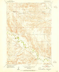
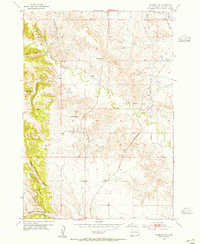
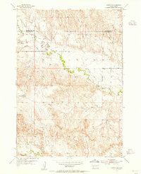
1953 Map of Hermosa SE
USGS Topo · Published 1955About this map
Battle Creek meanders through this portion of western South Dakota, carving a complex drainage network that defines the local topography. This 1953 field-checked survey captures a rural landscape where isolated landmarks like Yankee Hill and Flattop Butte rise above the surrounding draws. The mapping reveals a sparse settlement pattern typical of the mid-century ranching era, characterized by scattered rural schoolhouses such as Carey Sch and Lower Battle Creek Sch. The transition of the terrain is further marked by the county boundary between Pennington and Custer counties, which bisects the northern half of the quadrangle. Water remains the primary architect of the land here, with ephemeral features like Charles Draw and Reed Draw feeding into larger systems like Spring Creek.
Find a feature on this map
9 named features on this map. Tap any name to fly to it.
Don’t see what you’re looking for? This feature index may not catch every label — zoom into the map to look around manually.
Map Details
Editions of this 1953 Hermosa SE Map
3 editions found
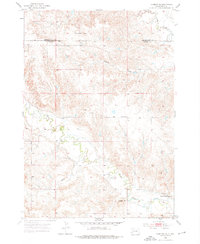
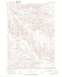
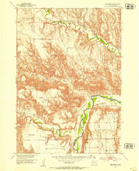
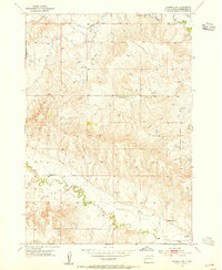
Other maps of this area

1894 · Hermosa
USGS Topo · 1:125,000

1901 · Hermosa
USGS Topo · 1:125,000
1951 · Red Shirt
USGS Topo · 1:24,000
1953 · Hermosa NW
USGS Topo · 1:24,000
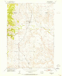
1953 · Hermosa
USGS Topo · 1:24,000
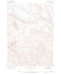
1953 · Caputa
USGS Topo · 1:24,000
1953 · Hermosa NE
USGS Topo · 1:24,000
1953 · Caputa SW
USGS Topo · 1:24,000

1955 · Hot Springs
USGS Topo · 1:250,000
1957 · Fairburn NE
USGS Topo · 1:24,000