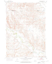
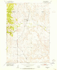
1953 Map of Hermosa SE
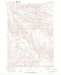
USGS Topo · Published 1976About this map
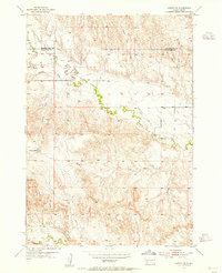
Battle Creek meanders through this landscape at the intersection of Pennington and Custer counties during the early 1950s. The area is defined by a series of drainages and prominent terrain features, including the distinct Flattop Butte to the north and Yankee Hill further south. These landmarks provided essential navigation points in a region primarily organized around watercourses like Spring Creek and seasonal draws.
Find a feature on this map
11 named features on this map. Tap any name to fly to it.
Don’t see what you’re looking for? This feature index may not catch every label — zoom into the map to look around manually.
Map Details
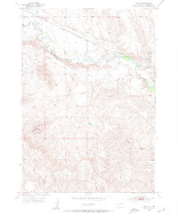
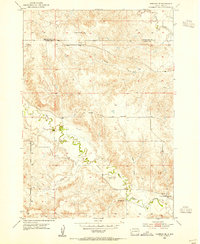
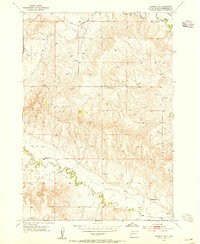
Editions of this 1953 Hermosa SE Map
3 editions found
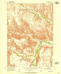
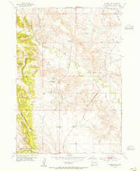
Other maps of this area

1894 · Hermosa
USGS Topo · 1:125,000

1901 · Hermosa
USGS Topo · 1:125,000
1951 · Red Shirt
USGS Topo · 1:24,000
1953 · Hermosa NW
USGS Topo · 1:24,000
1953 · Hermosa
USGS Topo · 1:24,000
1953 · Caputa
USGS Topo · 1:24,000
1953 · Hermosa SE
USGS Topo · 1:24,000
1953 · Hermosa NE
USGS Topo · 1:24,000
1953 · Caputa SW
USGS Topo · 1:24,000

1955 · Hot Springs
USGS Topo · 1:250,000