1953 Map of Hermosa SE
USGS Topo · Published 1979About this map
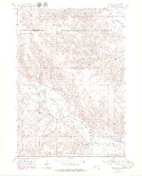
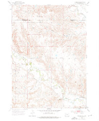
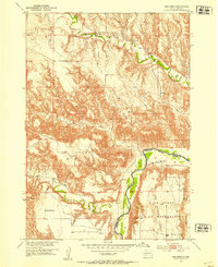
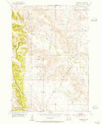
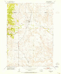
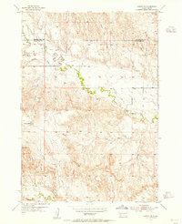
Battle Creek and its tributaries carve a complex drainage system across this stretch of the South Dakota plains, defining the landscape south of the Pennington and Custer County line. The map captures the area as it transitioned from early 1950s survey data to updated 1970s aerial revisions, showcasing the persistence of rural infrastructure like the Lower Battle Creek Sch. Prominent topographic landmarks such as Flattop Butte and Yankee Hill rise above the network of seasonal drainages, including Charles Draw and Reed Draw. The orientation of these natural features alongside the sparse network of unimproved roads reveals the enduring ranching character of the region. Notable for genealogists is the specific location of the local schoolhouse, which served as a central hub for the scattered homesteads along the creek valley.
Find a feature on this map
8 named features on this map. Tap any name to fly to it.
Don’t see what you’re looking for? This feature index may not catch every label — zoom into the map to look around manually.
Map Details
Editions of this 1953 Hermosa SE Map
3 editions found
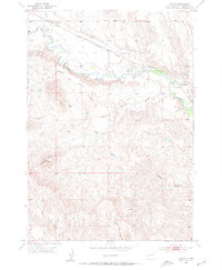
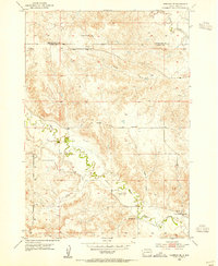
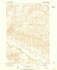
Other maps of this area

1894 · Hermosa
USGS Topo · 1:125,000

1901 · Hermosa
USGS Topo · 1:125,000
1951 · Red Shirt
USGS Topo · 1:24,000
1953 · Hermosa NW
USGS Topo · 1:24,000
1953 · Hermosa
USGS Topo · 1:24,000
1953 · Caputa
USGS Topo · 1:24,000
1953 · Hermosa SE
USGS Topo · 1:24,000
1953 · Hermosa NE
USGS Topo · 1:24,000
1953 · Caputa SW
USGS Topo · 1:24,000

1955 · Hot Springs
USGS Topo · 1:250,000