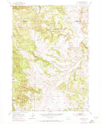
1954 Map of Hayward
USGS Topo · Published 1972About this map
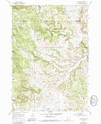
Hayward sits at the northern edge of this mid-century survey, a settlement defined by the winding course of Battle Creek and its proximity to active mining operations. The landscape is a complex network of drainages including Spokane Creek, Bear Gulch, and Whiskey Gulch, illustrating the rugged topography of the Black Hills. Signs of resource extraction are scattered across the terrain, with a Mine and Mine Dumps noted near the townsite.
Find a feature on this map
22 named features on this map. Tap any name to fly to it.
Don’t see what you’re looking for? This feature index may not catch every label — zoom into the map to look around manually.
Map Details
Editions of this 1954 Hayward Map
6 editions found
Other maps of this area

1894 · Hermosa
USGS Topo · 1:125,000

1901 · Hermosa
USGS Topo · 1:125,000

1953 · Hermosa NW
USGS Topo · 1:24,000

1953 · Hermosa
USGS Topo · 1:24,000
1954 · Rockerville
USGS Topo · 1:24,000

1954 · Iron Mountain
USGS Topo · 1:24,000
1954 · Mount Rushmore
USGS Topo · 1:24,000

1954 · Hayward
USGS Topo · 1:24,000

1954 · Mount Rushmore
USGS Topo · 1:62,500

1955 · Mt. Coolidge
USGS Topo · 1:24,000