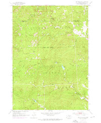
1954 Map of Iron Mountain
USGS Topo · Published 1976About this map
Mount Rushmore National Memorial anchors the northern boundary of this territory where the Black Hills National Forest meets Custer State Park. The map documents a landscape of mid-century conservation and mining history, tracing the rugged divide between Pennington and Custer counties. Significant mining activity is concentrated in the northeast, marked by the Spokane Mine, Hood Mine, and Cuyahoga Mine.
Find a feature on this map
34 named features on this map. Tap any name to fly to it.
Don’t see what you’re looking for? This feature index may not catch every label — zoom into the map to look around manually.
Map Details
Editions of this 1954 Iron Mountain Map
5 editions found
Other maps of this area

1894 · Hermosa
USGS Topo · 1:125,000

1896 · Harney Peak
USGS Topo · 1:125,000

1901 · Hermosa
USGS Topo · 1:125,000

1901 · Harney Peak
USGS Topo · 1:125,000
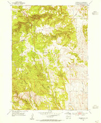
1954 · Rockerville
USGS Topo · 1:24,000

1954 · Iron Mountain
USGS Topo · 1:24,000
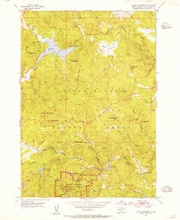
1954 · Mount Rushmore
USGS Topo · 1:24,000

1954 · Custer
USGS Topo · 1:24,000

1954 · Hill City
USGS Topo · 1:24,000

1954 · Hayward
USGS Topo · 1:24,000