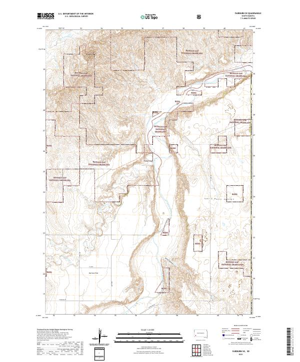
2021 Map of Fairburn SE
USGS Topo · Published 2021About this map
Buffalo Gap National Grassland dominates this section of Custer County, showing a landscape defined by its open range and drainage systems. The Cheyenne River winds through the northern portion of the quadrangle, joined by tributaries including Cottonwood Cr and S Fork French Cr. These watercourses have carved distinct features into the topography, such as Spring Canyon and the high ground of Tahc'a Okute Aglehan.
Find a feature on this map
18 named features on this map. Tap any name to fly to it.
Don’t see what you’re looking for? This feature index may not catch every label — zoom into the map to look around manually.
Map Details
Editions of this 2021 Fairburn SE Map
This is the sole edition of this map. No revisions or reprints were ever made.
Other maps of this area

1894 · Hermosa
USGS Topo · 1:125,000

1896 · Oelrichs
USGS Topo · 1:125,000

1900 · Oelrichs
USGS Topo · 1:125,000

1901 · Hermosa
USGS Topo · 1:125,000

1951 · Fairburn SE
USGS Topo · 1:24,000

1951 · Red Shirt
USGS Topo · 1:24,000

1951 · Willow Creek NW
USGS Topo · 1:24,000

1951 · Red Shirt SW
USGS Topo · 1:24,000

1951 · Smithwick NE
USGS Topo · 1:24,000

1951 · Smithwick NW
USGS Topo · 1:24,000