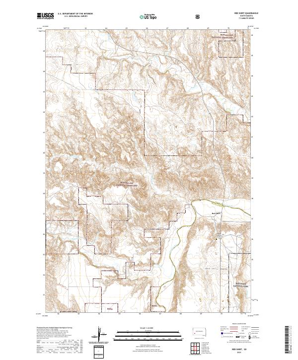
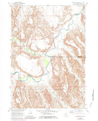
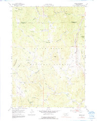
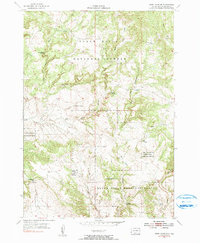
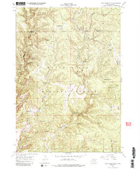
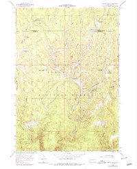
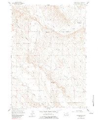
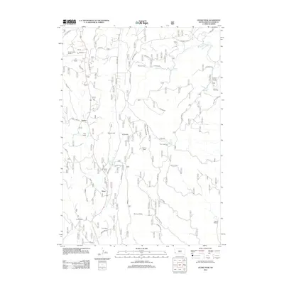
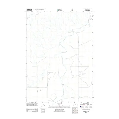
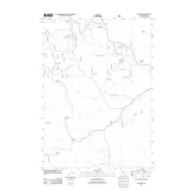
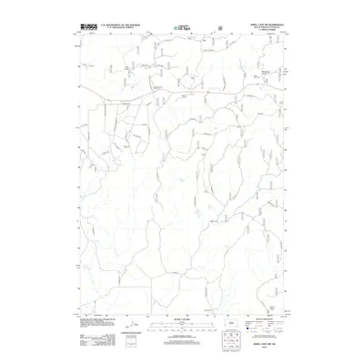
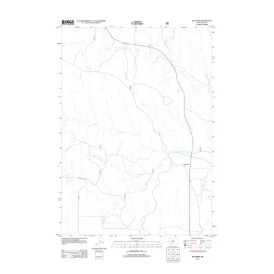
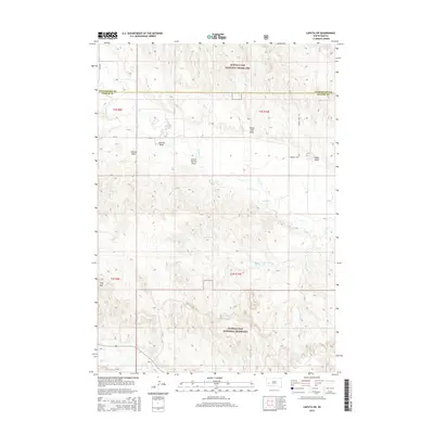
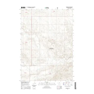
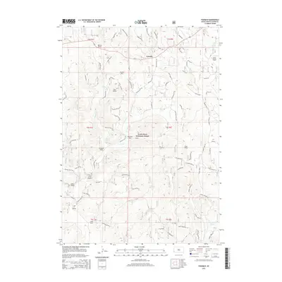
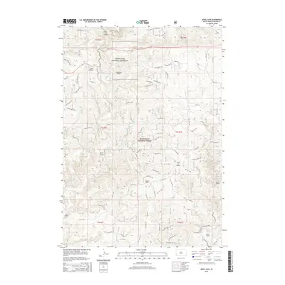
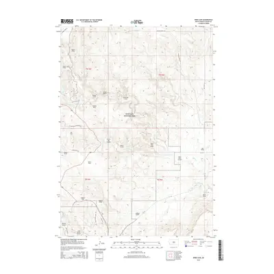
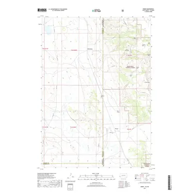
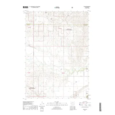
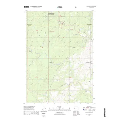
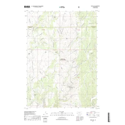
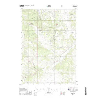
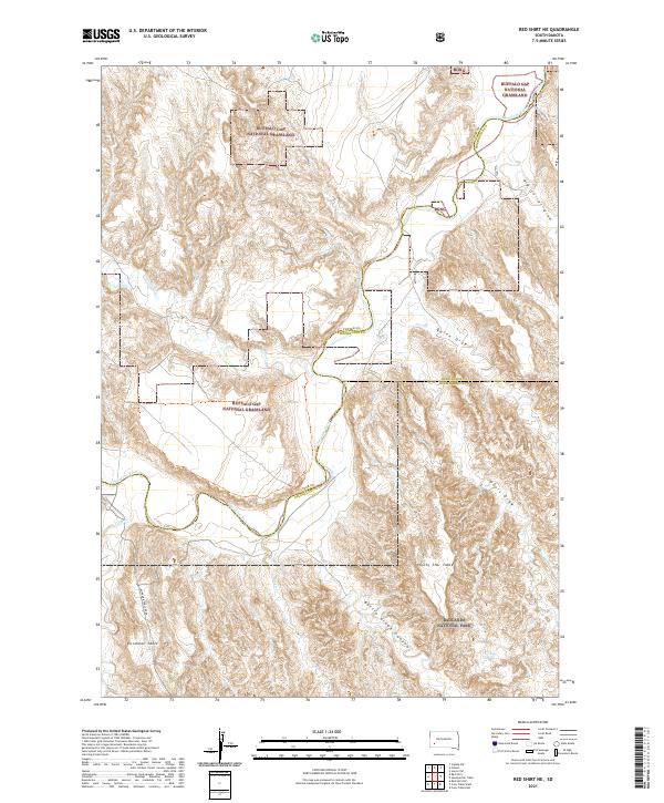
2021 Map of Red Shirt
USGS Topo · Published 2021About this map
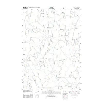
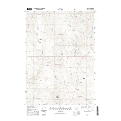
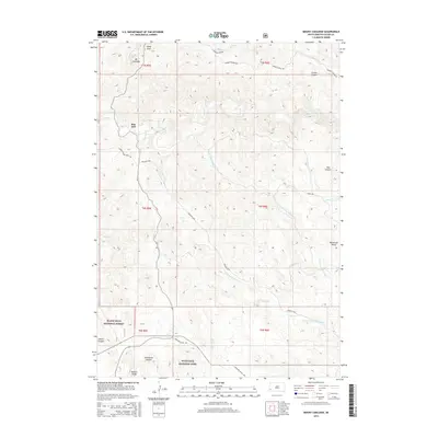
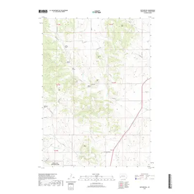
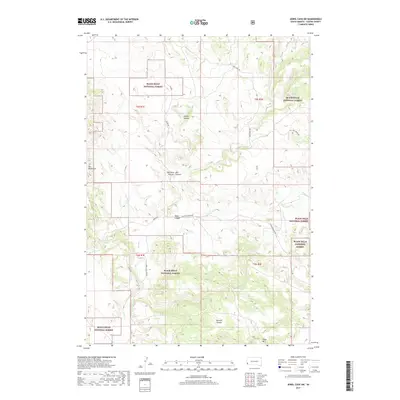
Red Shirt and the adjacent Red Shirt Table sit at the eastern edge of Custer County, defined by the winding course of the Cheyenne River. The landscape is a study in Western South Dakota prairie and badlands, where the Buffalo Gap National Grassland dominates the western half of the map and the northwestern corner of Badlands National Park enters from the southeast. Cultural life is anchored by the Seventh-day Adventist Church and the nearby Seventh-day Adventist Church Cem, which serve the local community on the Oglala Lakota County line. Transport in this rural expanse relies on routes like BIA Hwy 41 and Bison Ln, crossing a drainage network shaped by Battle Cr, Red Shirt Cr, and French Cr. The map captures the intersection of tribal land, national protected areas, and small-scale ranching settlements.
Find a feature on this map
26 named features on this map. Tap any name to fly to it.
Don’t see what you’re looking for? This feature index may not catch every label — zoom into the map to look around manually.
Map Details
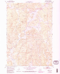
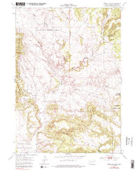
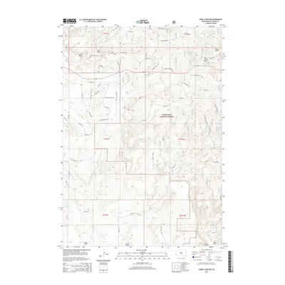
Editions of this 2021 Red Shirt Map
This is the sole edition of this map. No revisions or reprints were ever made.
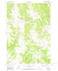
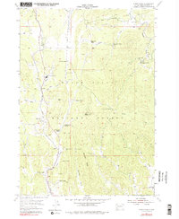
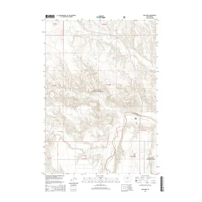
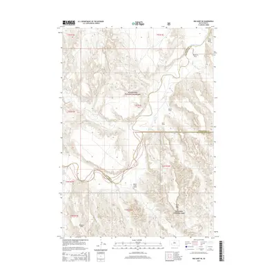
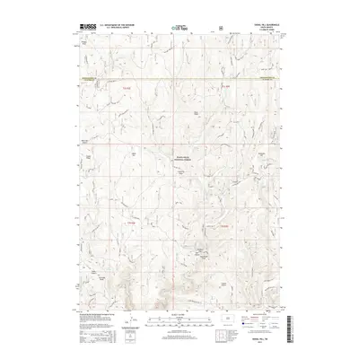
Historical Maps of Wounded Knee District Through Time
130 maps found

1896 Harney Peak
Custer County, SD
1901 Harney Peak
Custer County, SD
1951 Fairburn SE
Custer County, SD
1951 Red Shirt
Custer County, SD
1951 Red Shirt NE
Custer County, SD
1953 Caputa SW
Custer County, SD
1953 Folsom
Custer County, SD
1953 Hermosa SE
Custer County, SD
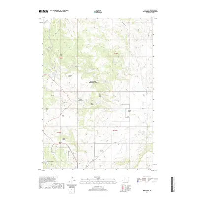
1954 Berne
Custer County, SD
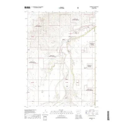
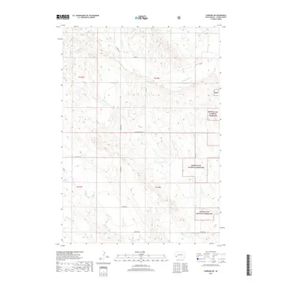
1954 Fourmile
Custer County, SD
1954 Hayward
Custer County, SD
1954 Iron Mountain
Custer County, SD
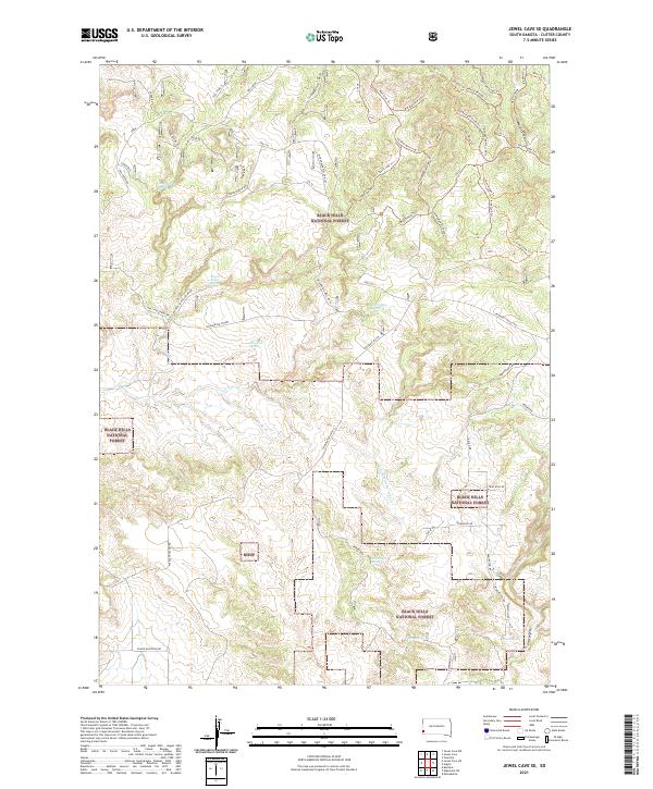
1954 Jewel Cave SE
Custer County, SD
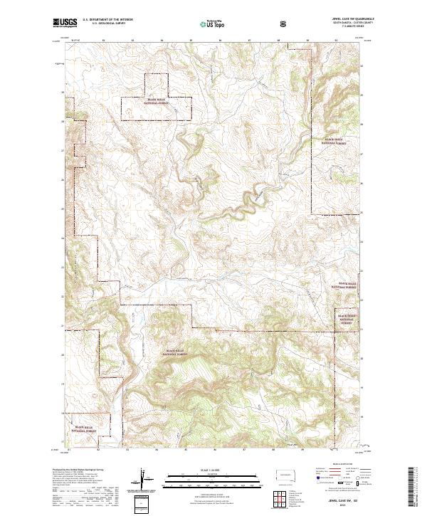
1954 Jewel Cave SW
Custer County, SD
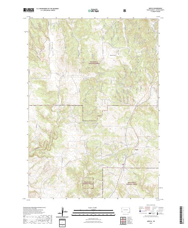
1955 Argyle
Custer County, SD
1955 Cicero Peak
Custer County, SD
1955 Dead Horse Flats
Custer County, SD
1955 Jewel Cave
Custer County, SD
1955 Jewel Cave NW
Custer County, SD
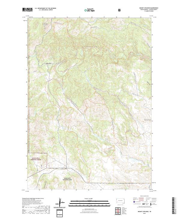
1955 Mt. Coolidge
Custer County, SD
1955 Signal Hill
Custer County, SD
1957 Boland Ridge
Custer County, SD
1957 Butcher Hill
Custer County, SD
1957 Fairburn NE
Custer County, SD
1957 Fairburn SW
Custer County, SD
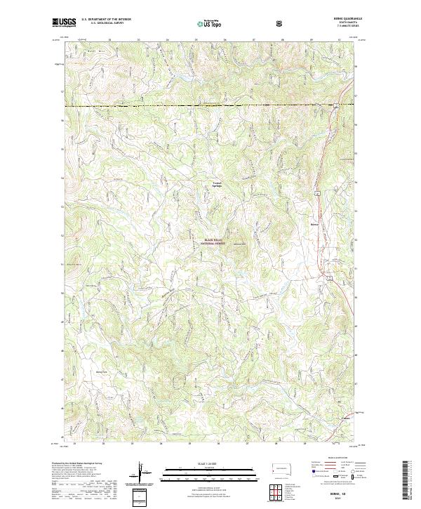
1957 Wind Cave
Custer County, SD

1977 Mount Rushmore
Custer County, SD
1998 Hayward
Custer County, SD

1998 Iron Mountain
Custer County, SD
2012 Argyle
Custer County, SD
2012 Berne
Custer County, SD
2012 Boland Ridge
Custer County, SD
2012 Butcher Hill
Custer County, SD
2012 Caputa SW
Custer County, SD
2012 Cicero Peak
Custer County, SD
2012 Dead Horse Flats
Custer County, SD
2012 Dewey
Custer County, SD
2012 Fairburn NE
Custer County, SD
2012 Fairburn SE
Custer County, SD
2012 Fairburn SW
Custer County, SD
2012 Folsom
Custer County, SD
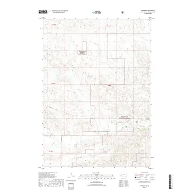
2012 Fourmile
Custer County, SD
2012 Hayward
Custer County, SD
2012 Hermosa SE
Custer County, SD
2012 Iron Mountain
Custer County, SD
2012 Jewel Cave
Custer County, SD
2012 Jewel Cave NW
Custer County, SD
2012 Jewel Cave SE
Custer County, SD
2012 Jewel Cave SW
Custer County, SD
2012 Mount Coolidge
Custer County, SD
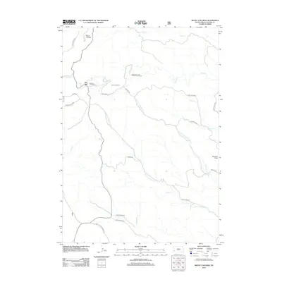
2012 Red Shirt
Custer County, SD
2012 Red Shirt NE
Custer County, SD
2012 Signal Hill
Custer County, SD
2012 Wind Cave
Custer County, SD
2015 Argyle
Custer County, SD
2015 Berne
Custer County, SD
2015 Boland Ridge
Custer County, SD
2015 Butcher Hill
Custer County, SD
2015 Caputa SW
Custer County, SD
2015 Cicero Peak
Custer County, SD
2015 Dead Horse Flats
Custer County, SD
2015 Dewey
Custer County, SD
2015 Fairburn NE
Custer County, SD
2015 Fairburn SE
Custer County, SD
2015 Fairburn SW
Custer County, SD
2015 Folsom
Custer County, SD
2015 Fourmile
Custer County, SD
2015 Hayward
Custer County, SD
2015 Hermosa SE
Custer County, SD
2015 Iron Mountain
Custer County, SD
2015 Jewel Cave
Custer County, SD
2015 Jewel Cave NW
Custer County, SD
2015 Jewel Cave SE
Custer County, SD
2015 Jewel Cave SW
Custer County, SD
2015 Mount Coolidge
Custer County, SD
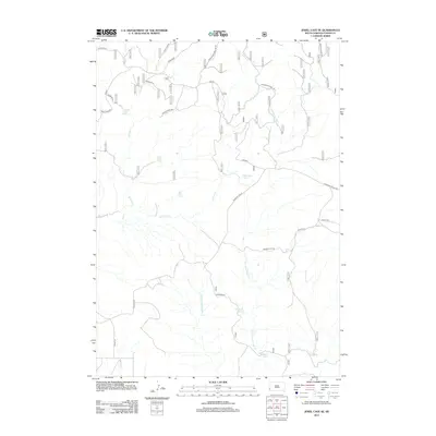
2015 Red Shirt
Custer County, SD
2015 Red Shirt NE
Custer County, SD
2015 Signal Hill
Custer County, SD
2015 Wind Cave
Custer County, SD
2017 Argyle
Custer County, SD
2017 Berne
Custer County, SD
2017 Boland Ridge
Custer County, SD
2017 Butcher Hill
Custer County, SD
2017 Caputa SW
Custer County, SD
2017 Cicero Peak
Custer County, SD
2017 Dead Horse Flats
Custer County, SD
2017 Dewey
Custer County, SD
2017 Fairburn NE
Custer County, SD
2017 Fairburn SE
Custer County, SD
2017 Fairburn SW
Custer County, SD
2017 Folsom
Custer County, SD
2017 Fourmile
Custer County, SD
2017 Hayward
Custer County, SD
2017 Hermosa SE
Custer County, SD
2017 Iron Mountain
Custer County, SD
2017 Jewel Cave
Custer County, SD
2017 Jewel Cave NW
Custer County, SD
2017 Jewel Cave SE
Custer County, SD
2017 Jewel Cave SW
Custer County, SD
2017 Mount Coolidge
Custer County, SD
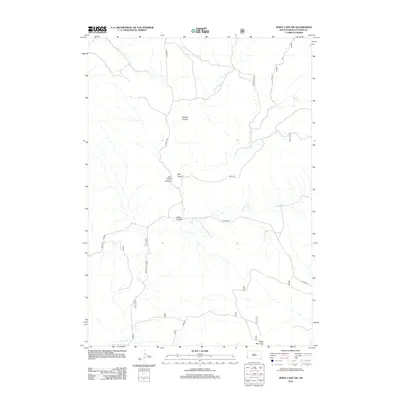
2017 Red Shirt
Custer County, SD
2017 Red Shirt NE
Custer County, SD
2017 Signal Hill
Custer County, SD
2017 Wind Cave
Custer County, SD
2021 Argyle
Custer County, SD
2021 Berne
Custer County, SD
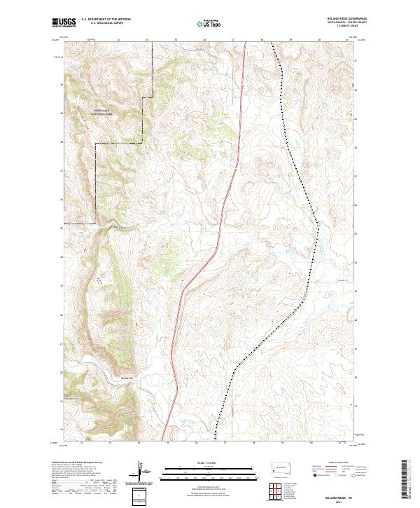
2021 Boland Ridge
Custer County, SD
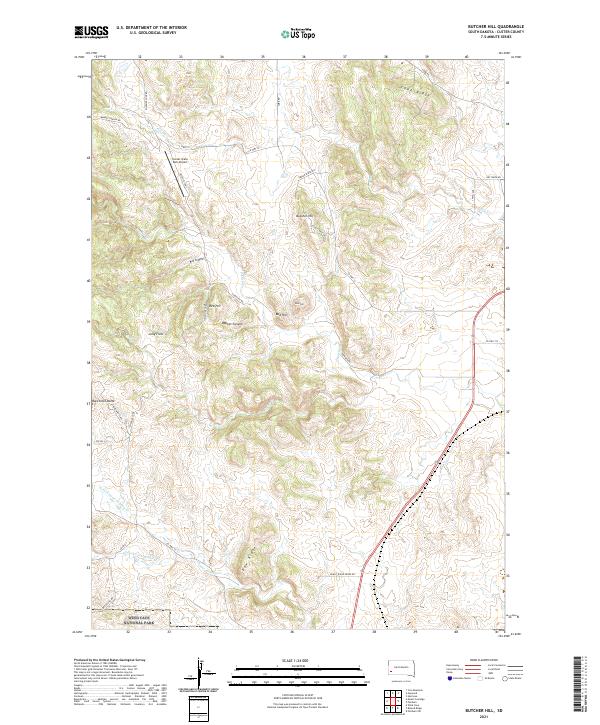
2021 Butcher Hill
Custer County, SD
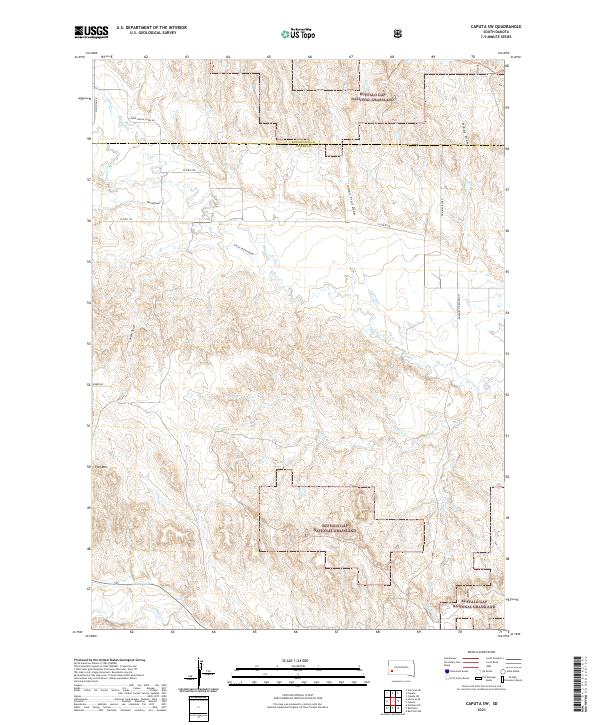
2021 Caputa SW
Custer County, SD
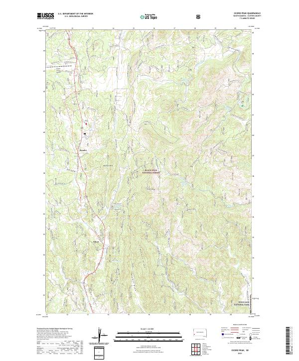
2021 Cicero Peak
Custer County, SD
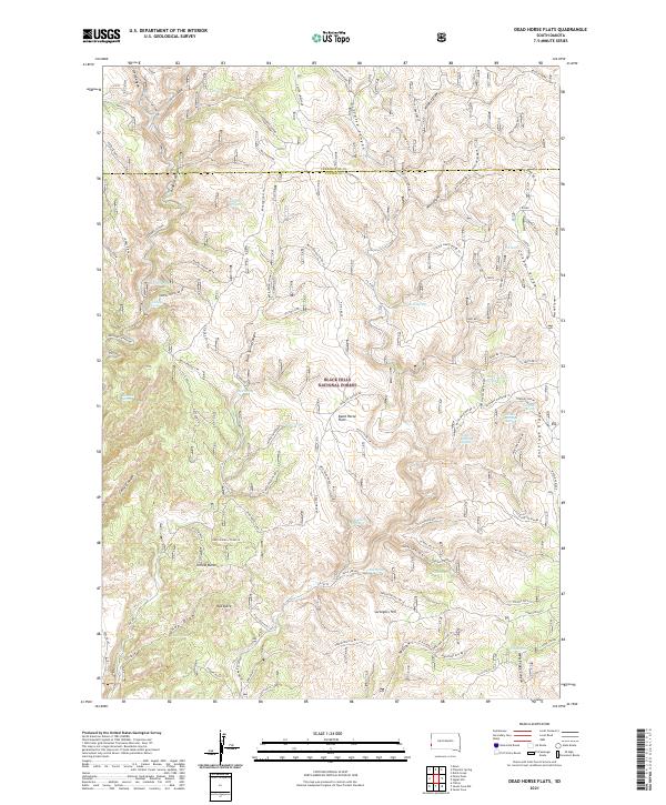
2021 Dead Horse Flats
Custer County, SD
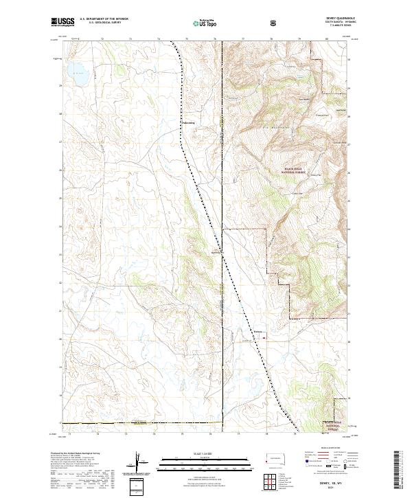
2021 Dewey
Custer County, SD
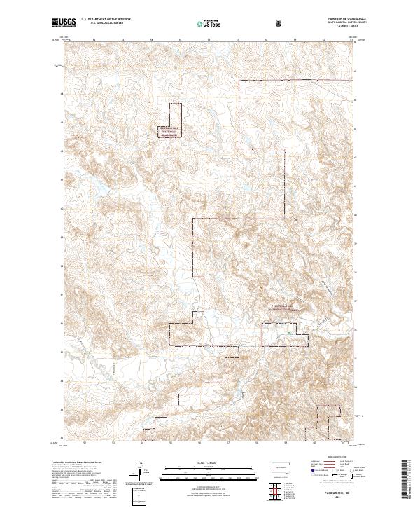
2021 Fairburn NE
Custer County, SD
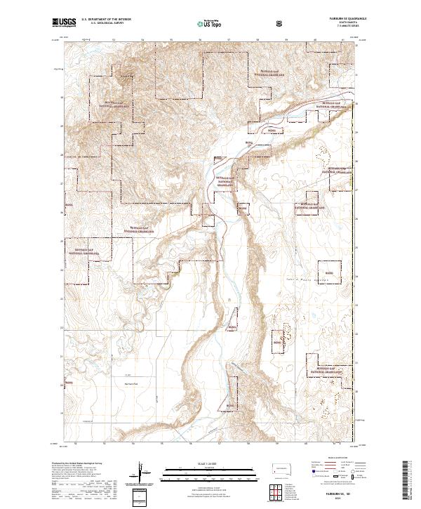
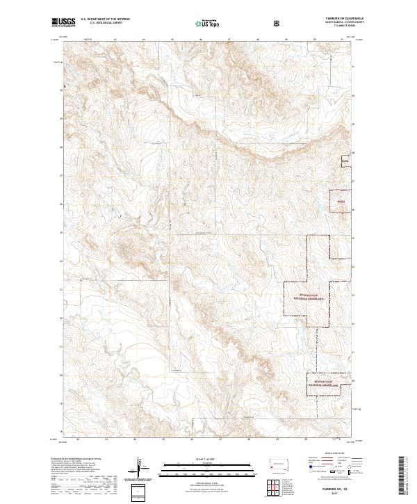
2021 Fairburn SE
Custer County, SD
2021 Fairburn SW
Custer County, SD
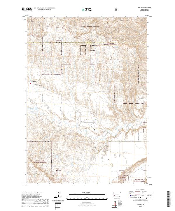
2021 Folsom
Custer County, SD
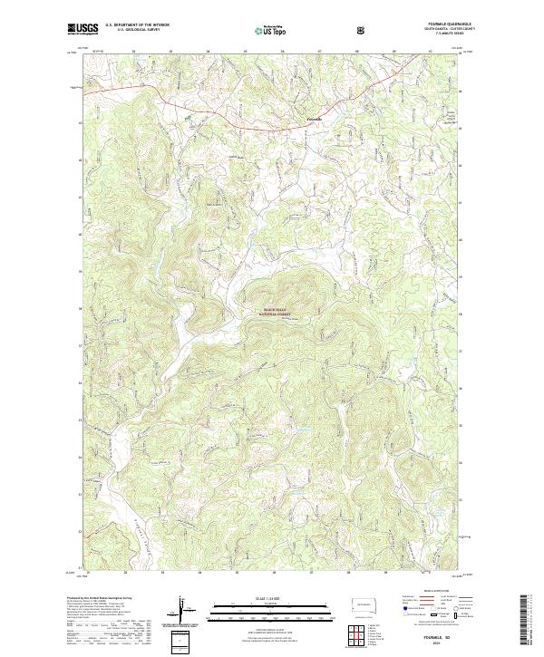
2021 Fourmile
Custer County, SD
2021 Hayward
Custer County, SD
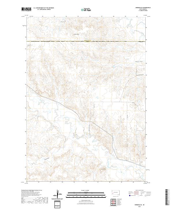
2021 Hermosa SE
Custer County, SD
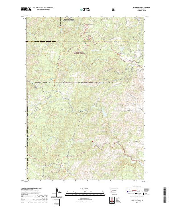
2021 Iron Mountain
Custer County, SD
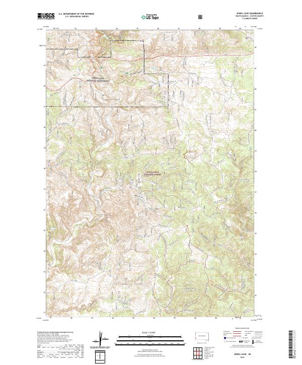
2021 Jewel Cave
Custer County, SD
2021 Jewel Cave NW
Custer County, SD
2021 Jewel Cave SE
Custer County, SD
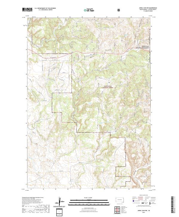
2021 Jewel Cave SW
Custer County, SD
2021 Mount Coolidge
Custer County, SD
2021 Red Shirt
Custer County, SD
2021 Red Shirt NE
Custer County, SD
2021 Signal Hill
Custer County, SD
2021 Wind Cave
Custer County, SD
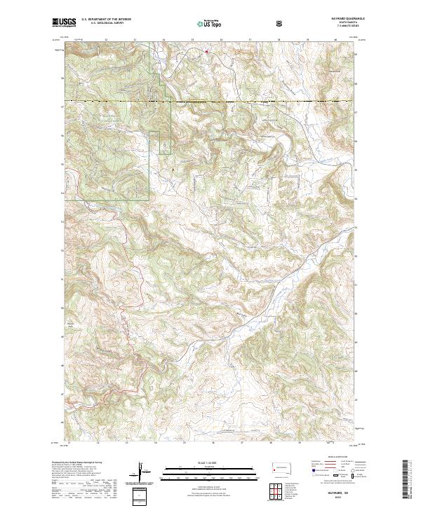
2023 Hayward
Custer County, SD