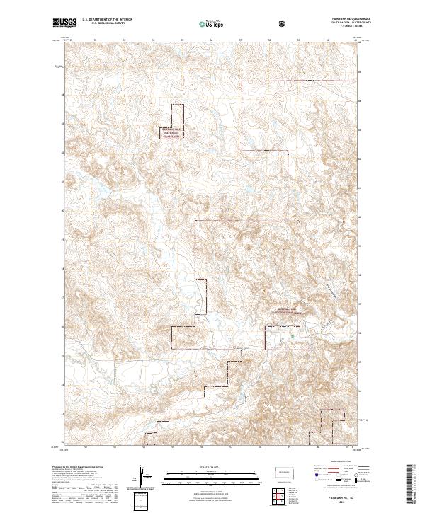
2021 Map of Fairburn NE
USGS Topo · Published 2021About this map
Buffalo Gap National Grassland dominates this portion of Custer County, showing the intricate drainages and section-line road patterns of the western Great Plains. The landscape is defined by the winding course of French Cr and its tributaries, including S Fork French Cr and Red Shirt Cr. These waterways provide the primary orientation for the area's geography, cutting through a terrain marked by named features like Sheep Camp Draw and Shorty Draw. Transportation in this rural stretch is limited to local connectors such as Co HWY 18 and E French Creek Rd, which follow the natural contours of the creek beds. The map provides a precise look at the Public Land Survey System grid, including corners for townships such as t4s r8e and t4s r9e, offering a detailed view of land divisions within the national grassland.
Find a feature on this map
16 named features on this map. Tap any name to fly to it.
Don’t see what you’re looking for? This feature index may not catch every label — zoom into the map to look around manually.
Map Details
Editions of this 2021 Fairburn NE Map
This is the sole edition of this map. No revisions or reprints were ever made.
Other maps of this area

1894 · Hermosa
USGS Topo · 1:125,000

1901 · Hermosa
USGS Topo · 1:125,000

1951 · Fairburn SE
USGS Topo · 1:24,000

1951 · Red Shirt
USGS Topo · 1:24,000

1951 · Red Shirt SW
USGS Topo · 1:24,000

1953 · Hermosa
USGS Topo · 1:24,000

1953 · Hermosa SE
USGS Topo · 1:24,000

1953 · Caputa SW
USGS Topo · 1:24,000

1955 · Hot Springs
USGS Topo · 1:250,000
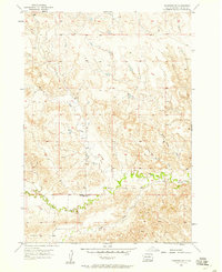
1957 · Fairburn NE
USGS Topo · 1:24,000