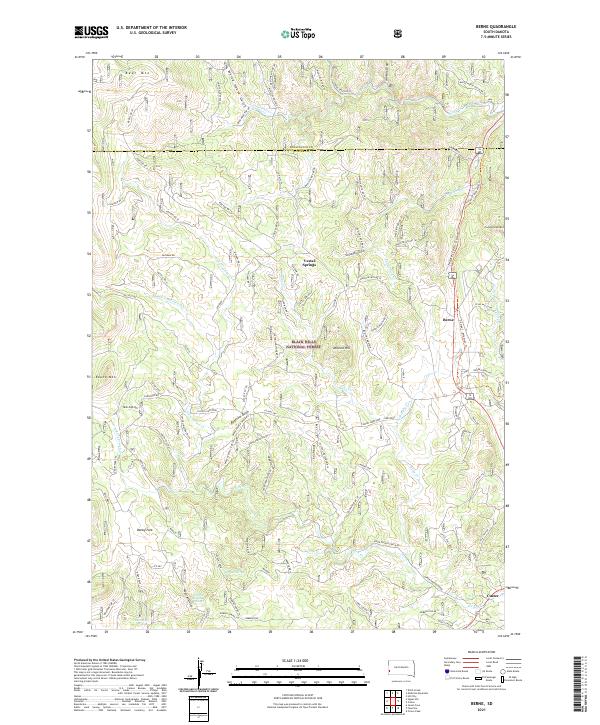
2021 Map of Berne
USGS Topo · Published 2021About this map
Black Hills National Forest land dominates this section of South Dakota, defined by a complex drainage system and several prominent peaks. The settlement of Berne and the northern outskirts of Custer are connected by the George S. Mickelson Trl, which follows the route of former rail infrastructure through the hills. This 2021 update shows the modern transition of the landscape from industry toward recreation and conservation, with several named summits including Bear Mtn, Medicine Mtn, and Thunderhead Mtn serving as focal points.
Find a feature on this map
102 named features on this map. Tap any name to fly to it.
Don’t see what you’re looking for? This feature index may not catch every label — zoom into the map to look around manually.
Map Details
Editions of this 2021 Berne Map
This is the sole edition of this map. No revisions or reprints were ever made.
Other maps of this area

1896 · Harney Peak
USGS Topo · 1:125,000

1901 · Harney Peak
USGS Topo · 1:125,000

1954 · Fourmile
USGS Topo · 1:24,000

1954 · Custer
USGS Topo · 1:24,000

1954 · Hill City
USGS Topo · 1:24,000

1954 · Berne
USGS Topo · 1:24,000

1955 · Jewel Cave
USGS Topo · 1:24,000

1955 · Signal Hill
USGS Topo · 1:24,000
1955 · Cicero Peak
USGS Topo · 1:24,000

1955 · Hot Springs
USGS Topo · 1:250,000