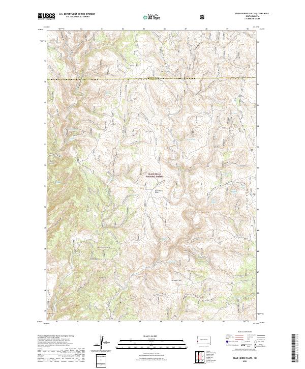
2021 Map of Dead Horse Flats
USGS Topo · Published 2021About this map
Black Hills National Forest encompasses this high-elevation landscape of the southern Black Hills, where a network of forest roads and springs defines the remote character of the Custer County and Pennington County border. The topography is dominated by dramatic ridges and deep draws, including Gillette Canyon and the prominent Antelope Ridge to the east. Historically critical water sources like Dead Horse Spring, Gooseberry Spring, and The Seeps are scattered throughout the draws, supporting the grazing and transit patterns indicated by named areas such as Dead Horse Flats and Five Loads Flat. Prominent landmarks like Yellow Butte and Surveyors Hill provide orientation across the complex drainage systems of Wolf Draw and Gettys Canyon. The presence of numerous named forest service roads, such as Custer Limestone Rd and Red Bird Canyon Rd, highlights the area's continued use for resource management and backcountry access.
Find a feature on this map
100 named features on this map. Tap any name to fly to it.
Don’t see what you’re looking for? This feature index may not catch every label — zoom into the map to look around manually.
Map Details
Editions of this 2021 Dead Horse Flats Map
This is the sole edition of this map. No revisions or reprints were ever made.
Other maps of this area

1896 · Harney Peak
USGS Topo · 1:125,000

1899 · Newcastle
USGS Topo · 1:125,000

1901 · Harney Peak
USGS Topo · 1:125,000

1901 · Newcastle
USGS Topo · 1:125,000

1951 · Fanny Peak
USGS Topo · 1:24,000

1951 · Clifton
USGS Topo · 1:24,000

1955 · Dead Horse Flats
USGS Topo · 1:24,000

1955 · Jewel Cave NW
USGS Topo · 1:24,000

1955 · Jewel Cave
USGS Topo · 1:24,000

1955 · Signal Hill
USGS Topo · 1:24,000