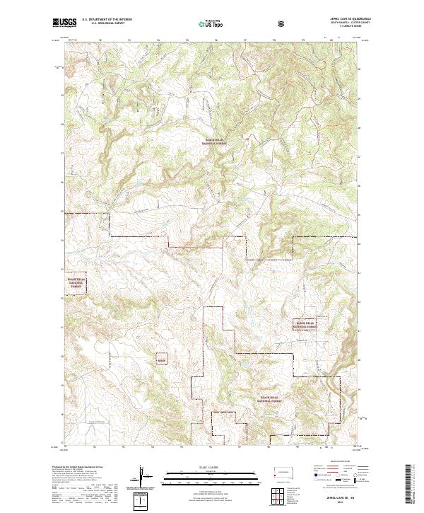
2021 Map of Jewel Cave SE
USGS Topo · Published 2021About this map
Black Hills National Forest land defines this corner of Custer County, characterized by a complex network of springs and drainage systems. Numerous water sources such as Issue Wood Spring, Rogers Shack Spring, and Pine Tree Spring are scattered across the terrain, indicating the vital importance of water points in this arid upland environment. The landscape is deeply etched by features like Freeland Basin and Red Canyon, with seasonal flow managed by E Pass Cr and E Fork Hawkright Cr. A sophisticated system of forest roads and trails, including Pilger Mountain Rd and the Sharptail Trl, provides access to these remote reaches. The inclusion of named tracks like Antler Alley Trl and Hawkright Vista Trl suggests a modern emphasis on recreational navigation within the managed forest boundaries.
Find a feature on this map
50 named features on this map. Tap any name to fly to it.
Don’t see what you’re looking for? This feature index may not catch every label — zoom into the map to look around manually.
Map Details
Editions of this 2021 Jewel Cave SE Map
This is the sole edition of this map. No revisions or reprints were ever made.
Other maps of this area

1896 · Harney Peak
USGS Topo · 1:125,000

1901 · Harney Peak
USGS Topo · 1:125,000

1902 · Edgemont
USGS Topo · 1:125,000

1950 · Burdock
USGS Topo · 1:24,000

1950 · Edgemont NE
USGS Topo · 1:24,000

1950 · Minnekahta
USGS Topo · 1:24,000

1954 · Fourmile
USGS Topo · 1:24,000

1954 · Jewel Cave SE
USGS Topo · 1:24,000
1954 · Jewel Cave SW
USGS Topo · 1:24,000

1955 · Jewel Cave NW
USGS Topo · 1:24,000