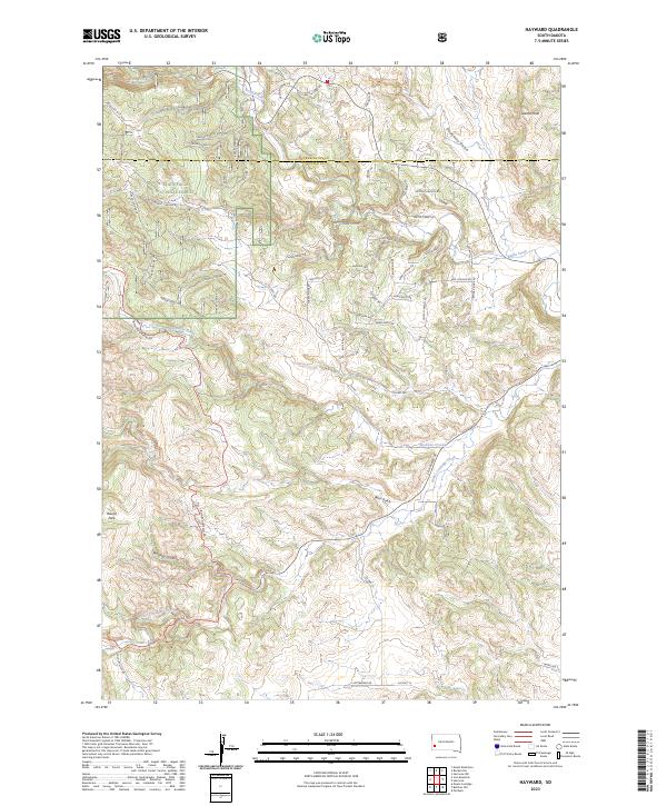
2023 Map of Hayward
USGS Topo · Published 2023About this map
Black Hills National Forest land defines the western landscape of this area near the border of Pennington and Custer counties. A network of Forest Service routes, such as Porker Loop Br 1B and Rosebud Br 2C, provides access to the high elevations of the Black Hills. Notable landmarks include Lakota Peak in the northeast and Round Park to the southwest, while the winding Iron Mountain Rd carves through the southern terrain.
Find a feature on this map
61 named features on this map. Tap any name to fly to it.
Don’t see what you’re looking for? This feature index may not catch every label — zoom into the map to look around manually.
Map Details
Editions of this 2023 Hayward Map
This is the sole edition of this map. No revisions or reprints were ever made.
Other maps of this area

1894 · Hermosa
USGS Topo · 1:125,000

1901 · Hermosa
USGS Topo · 1:125,000

1953 · Hermosa NW
USGS Topo · 1:24,000

1953 · Hermosa
USGS Topo · 1:24,000
1954 · Rockerville
USGS Topo · 1:24,000

1954 · Iron Mountain
USGS Topo · 1:24,000
1954 · Mount Rushmore
USGS Topo · 1:24,000

1954 · Hayward
USGS Topo · 1:24,000

1954 · Mount Rushmore
USGS Topo · 1:62,500

1955 · Mt. Coolidge
USGS Topo · 1:24,000