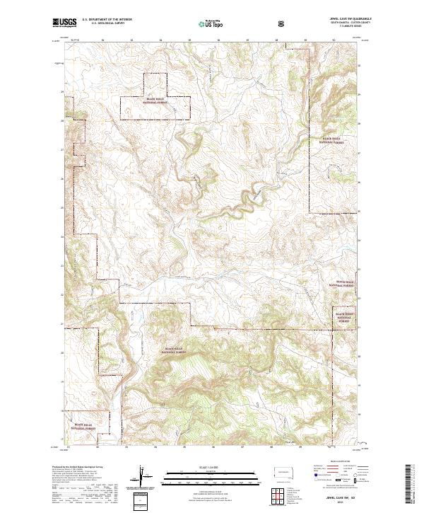
2021 Map of Jewel Cave SW
USGS Topo · Published 2021About this map
Black Hills National Forest land dominates this southwestern portion of Custer County, where the high-altitude topography is defined by the sharp ridges of the Elk Mountains. The landscape is etched by a series of significant drainages, most notably Hell Canyon, Tepee Canyon, and Schenk Canyon, which cut through the uplifted terrain. These geological features create a complex network of ridgelines and ravines, punctuated by landmarks like Red Point and Pilger Mtn.
Find a feature on this map
21 named features on this map. Tap any name to fly to it.
Don’t see what you’re looking for? This feature index may not catch every label — zoom into the map to look around manually.
Map Details
Editions of this 2021 Jewel Cave SW Map
This is the sole edition of this map. No revisions or reprints were ever made.
Other maps of this area

1896 · Harney Peak
USGS Topo · 1:125,000

1899 · Newcastle
USGS Topo · 1:125,000

1901 · Harney Peak
USGS Topo · 1:125,000

1901 · Newcastle
USGS Topo · 1:125,000

1902 · Edgemont
USGS Topo · 1:125,000

1950 · Burdock
USGS Topo · 1:24,000

1950 · Edgemont NE
USGS Topo · 1:24,000

1951 · Dewey
USGS Topo · 1:24,000

1951 · Twentyone Divide
USGS Topo · 1:24,000

1951 · Clifton
USGS Topo · 1:24,000