Old Maps of Baker Township, South Dakota for Genealogy
Trace your family roots with 14 historic maps of Baker Township. These high-res maps reveal old neighborhoods, homesites, landmarks, and streets — helping you uncover where your ancestors lived and how the area evolved over time.
- Explore historic neighborhoods: Identify where your relatives may have lived in the 1800s or 1900s.
- Compare maps over time: Trace the changes in streets, buildings, and landmarks for multi-generational research.
- Perfect for genealogy & ancestry research: Used by family historians and researchers to map out lineage and migration.
These maps are an incredible resource for exploring your personal connection to Baker Township's past.
Baker Township, SD maps
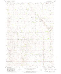
(14)- 1899 Map of Mitchell
 1899 Mitchell1899 Print · USGSCovers Baker Township, including Mitchell, Plankinton, and other nearby areas3 unique versions available
 - 1955 Map of Mitchell, 1973 Print
 1955 Mitchell1973 Print · USGSCovers Baker Township, including Mitchell, Winner, and other nearby areas2 unique versions available
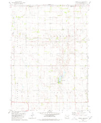
 - 1959 Map of Mitchell
 1959 Mitchell1959 Print · USGSCovers Baker Township, including Mitchell, Winner, and other nearby areas2 unique versions available
 - 1979 Map of Hillside, 1980 Print
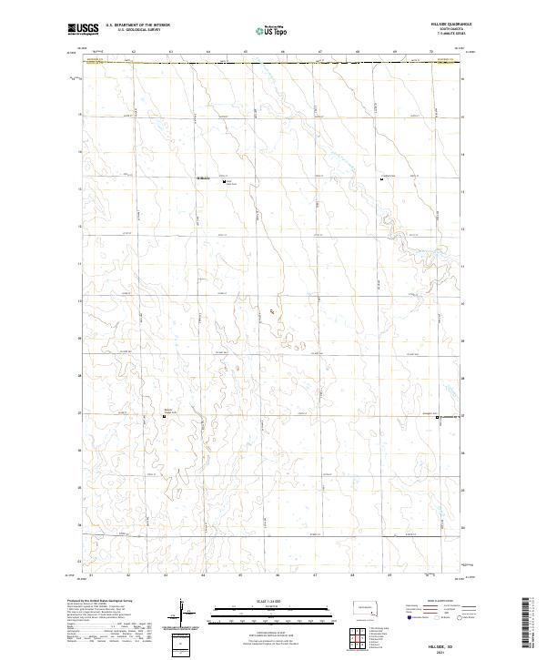
 1979 Hillside1980 Print · USGSCovers Baker Township, including Lincoln Township, Tobin Township, and other nearby areas
 - 1980 Map of Corsica Lake
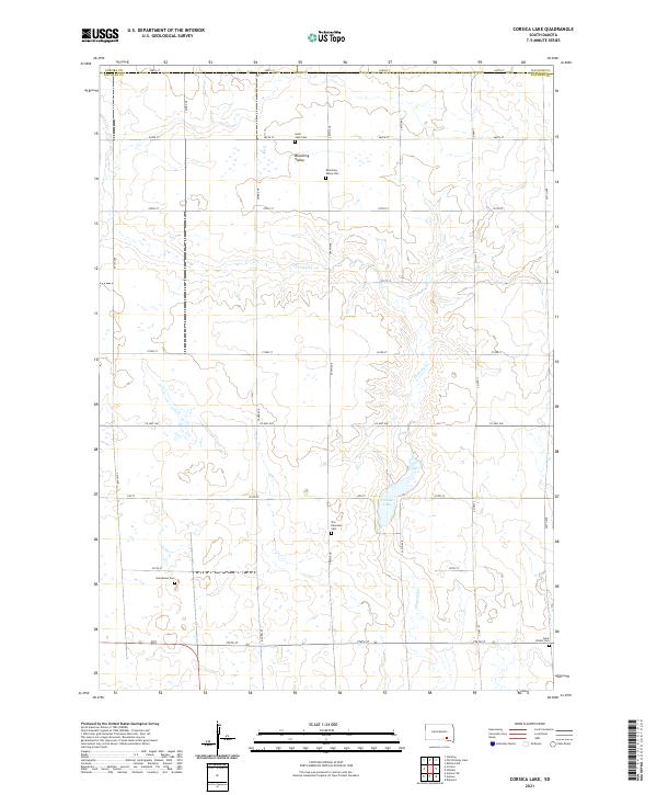
 1980 Corsica Lake1980 Print · USGSCovers Baker Township, including Aurora Township, Garfield Township, and other nearby areas
 - 1980 Map of Old Stickney Lake
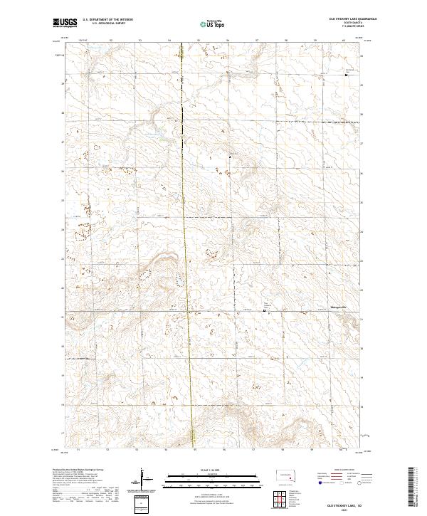
 1980 Old Stickney Lake1980 Print · USGSCovers Baker Township, including Metzgerville, Aurora Township, and other nearby areas
 - 1980 Map of Mitchell SW
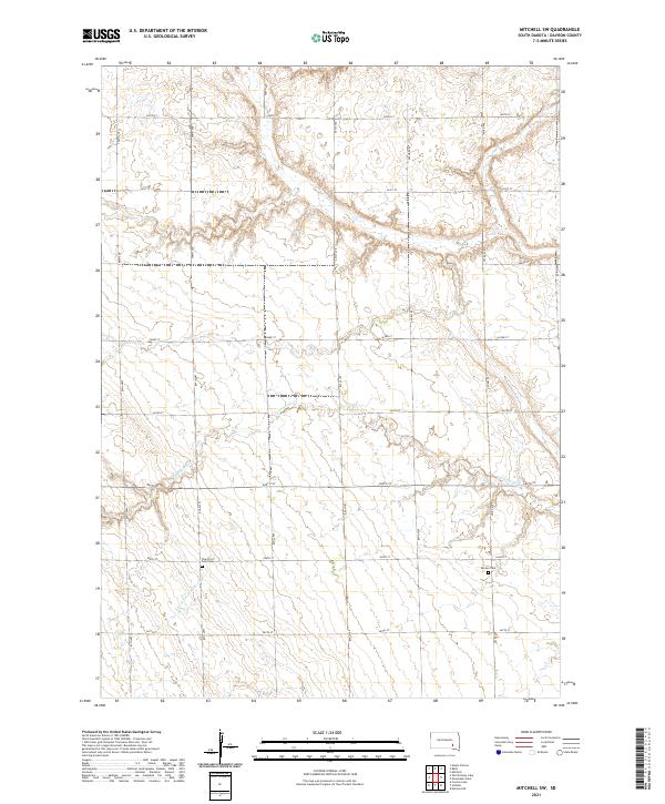
 1980 Mitchell SW1980 Print · USGSCovers Baker Township, including Tobin Township, Union Township, and other nearby areas
 - 1986 Map of Mitchell
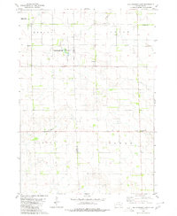
 1986 Mitchell1986 Print · USGSCovers Baker Township, including Mitchell, Kimball, and other nearby areas2 unique versions available
 - 1986 Map of Lake Andes
 1986 Lake Andes1986 Print · USGSCovers Baker Township, including Wagner, Platte, and other nearby areas3 unique versions available
 - 1990 Map of Mitchell, 1991 Print
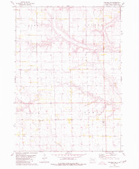
 1990 Mitchell1991 Print · USGSCovers Baker Township, including Mitchell, Winner, and other nearby areas
 - 2021 Map of Old Stickney Lake, 2021 Print
 2021 Old Stickney Lake2021 Print · USGSCovers Baker Township, including Union Township, Metzgerville, and other nearby areas
 - 2021 Map of Hillside, 2021 Print
 2021 Hillside2021 Print · USGSCovers Baker Township, including Valley Township, Tobin Township, and other nearby areas
 - 2021 Map of Mitchell SW, 2021 Print
 2021 Mitchell SW2021 Print · USGSCovers Baker Township, including Union Township, Lisbon Township, and other nearby areas
 - 2021 Map of Corsica Lake, 2021 Print
 2021 Corsica Lake2021 Print · USGSCovers Baker Township, including Grandview Township, Valley Township, and other nearby areas
End of results
Showing maps 1-14 of 14
Top cities near Baker Township
- Mitchell historical maps
- Armour historical maps
- Corsica historical maps
- Plankinton historical maps
- Mount Vernon historical maps
- Stickney historical maps
Top neighborhoods of Baker Township
Frequently asked questions
- What are the different types of historical maps available for Baker Township?
- What is the oldest map of Baker Township?
- Where can I purchase historical maps of Baker Township for my home or office?
- Where can I download high-res historical maps of Baker Township?
- Are there historical topographic maps available for Baker Township?
- Is there historical aerial imagery available for Baker Township?
- Where are historical maps of Baker Township sourced from?