2020s Maps of Dewey County, South Dakota
Explore 61 historic maps of Dewey County from the 2020s. These maps offer a rare glimpse into what life looked like during the 2020s — showing old roads, neighborhoods, homes, and landmarks that have changed or disappeared over time.
Whether you're researching your family's past, planning a metal detecting trip, or studying how Dewey County's landscape evolved across the 2020s, these high-resolution maps are a powerful tool for exploring the history of this region.
- Focus on a specific era: All maps on this page are from the 2020s, giving you a focused view of this time period.
- See what’s changed: Compare century-old streets, trails, and buildings to today's modern landscape using overlays and satellite layers.
- Research with precision: Use these maps for genealogy, historical research, land use analysis, or educational projects.
- View, download, or print: Maps are fully viewable online in high resolution, and can be downloaded or printed for your own records.
Start exploring Dewey County's history through authentic maps from the 2020s. This is your window into the past.
Dewey County, SD maps
(61)- 2021 Map of Charlie Creek, 2021 Print
 2021 Charlie Creek2021 Print · USGSDewey County’s prairie landscape is defined by its seasonal waterways in this recent survey. Local historians and land researchers can trace the routes of BIA Hwy 8 and 261 Ave as they navigate the drainages of Charlie Cr and Fox Cr.
 - 2021 Map of Rousseau Creek NW, 2021 Print
 2021 Rousseau Creek NW2021 Print · USGSThe wide prairie of Dewey County is documented in this recent survey, showing the land as it appeared in the early 2020s. Researchers can trace the drainage basins of Fishgut Cr and W Br Rousseau Cr alongside rural routes like BIA Hwy 8.
 - 2021 Map of Herbert Creek SW, 2021 Print
 2021 Herbert Creek SW2021 Print · USGSZiebach and Dewey counties are captured in this recent survey of the South Dakota prairie as the land slopes toward the Missouri River. Genealogists and researchers can trace local boundaries along BIA Hwy 8 and the drainage systems of Herbert Cr and Lake Oahe.
 - 2021 Map of High Elk Hill, 2021 Print
 2021 High Elk Hill2021 Print · USGSZiebach and Dewey counties are captured here in the early 2020s, showing the high prairie landscape near the Cheyenne River Reservation. Genealogists and historians can locate Saint Marks Cem or trace the drainage patterns of Green Grass Cr and Herbert Cr across the divide.
 - 2021 Map of Herbert Creek SE, 2021 Print
 2021 Herbert Creek SE2021 Print · USGSDewey County’s high plains meet the northern reaches of the Missouri River in this recent survey of the Standing Rock region. Trace the winding drainages of Herbert Cr and Beef Draw as they descend toward the expansive Lake Oahe.
 - 2021 Map of Herbert Creek, 2021 Print
 2021 Herbert Creek2021 Print · USGSZiebach County ranch lands meet the town of Eagle Butte in this contemporary record of South Dakota's prairie landscape. Trace the modern layout of the Cheyenne Eagle Butte Airport and rural routes like Minneconjou Dr and Herbert Cr.
 - 2021 Map of Miller Dam, 2021 Print
 2021 Miller Dam2021 Print · USGSZiebach County ranching lands and the prairie breaks are captured here in the early twenty-first century. Researchers can trace local landmarks like Marple Butte and the settlement at Chase, along with the waters of Miller Dam and Cottonwood Cr.
 - 2021 Map of Herbert Creek NE, 2021 Print
 2021 Herbert Creek NE2021 Print · USGSDewey County's open rangeland is captured here in the early 2020s, showing a landscape defined by its remote drainage networks. Trace the paths of Hosupa Cr and Paradis Cr or locate the transport corridors of BIA Hwy 9 and Armstrong Co Rd.
 - 2021 Map of Sansarc NE, 2021 Print
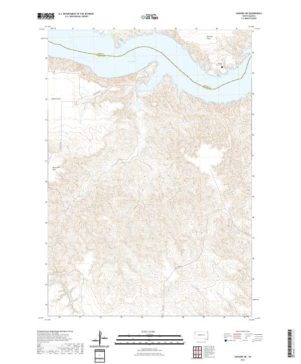 2021 Sansarc NE2021 Print · USGSStanley and Dewey County ranchlands meet the expansive waters of the Missouri River in the early twenty-first century. Researchers can locate the Walking Horse Cem and trace the drainage of Foster Cr through landmarks like Kid Rich Flats.
 - 2021 Map of High Elk Hill NW, 2021 Print
 2021 High Elk Hill NW2021 Print · USGSZiebach County is captured in this recent survey of the South Dakota prairie, showing the region's vast grid of section lines and seasonal creeks. Researchers can trace the drainage of Little Bear Creek or follow rural routes like County Highway 23 across the open landscape.
 - 2021 Map of Alleman Station, 2021 Print
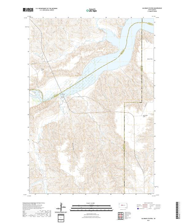 2021 Alleman Station2021 Print · USGSThe riverfront of the Cheyenne River is documented here in the early 2020s as it feeds into the massive Lake Oahe reservoir. Researchers can locate family-named landmarks like Circle P Flats and trace the local road network via Carlin Bridge and Cherry Creek Rd.
 - 2021 Map of Ridgeview NW, 2021 Print
 2021 Ridgeview NW2021 Print · USGSThe Moreau River breaks through the South Dakota plains in the early 2020s, defining a landscape of wide valleys and winding creeks. Researchers can trace the paths of Cottonwood Cr and Bull Cr or follow rural routes like On The Tree Rd.
 - 2021 Map of Timber Lake, 2021 Print
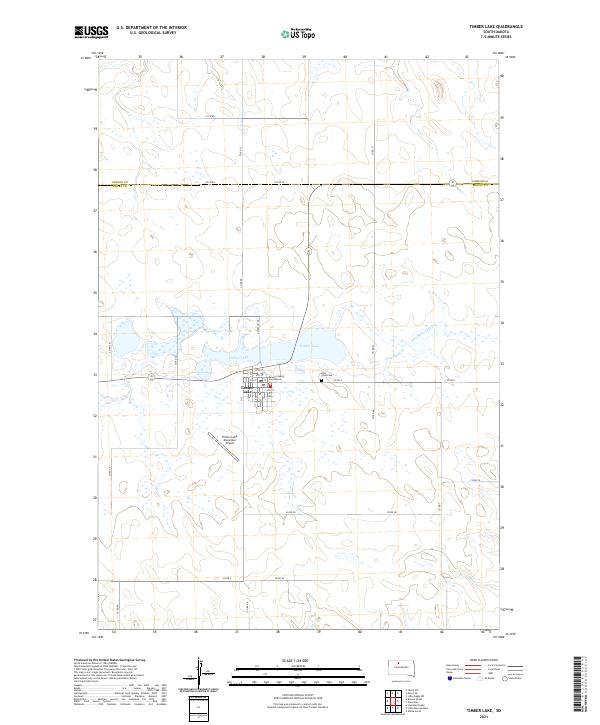 2021 Timber Lake2021 Print · USGSIn the modern era of the South Dakota prairie, Timber Lake remains a vital county seat and rural center. Genealogists and local historians can trace the town’s grid, from the Dewey County Courthouse to the nearby Holy Cross Cem.
 - 2021 Map of Lantry SE, 2021 Print
 2021 Lantry SE2021 Print · USGSDewey County’s prairie landscape is captured here in the early 2020s, showing the intersection of rural section lines and natural drainages. Researchers can trace the path of Green Grass Cr or locate local landmarks like the Eagle Butte Cem.
 - 2021 Map of Glencross, 2021 Print
 2021 Glencross2021 Print · USGSDewey County prairie life is documented in this recent survey of the Cheyenne River Indian Reservation. Researchers can locate the settlement of Glencross and the Sacred Heart Cemetery, or trace the drainage of Dog Butte Creek.
 - 2021 Map of Trail City, 2021 Print
 2021 Trail City2021 Print · USGSTrail City and the surrounding prairie lands of Dewey and Corson counties appear in this recent survey. Researchers can locate Trail City Cem, the local PO, and drainage patterns along Snake Cr and Du Charme Cr.
 - 2021 Map of Little Moreau Lake, 2021 Print
 2021 Little Moreau Lake2021 Print · USGSDewey County's rural landscape is captured here in the early 2020s, dominated by the winding path of the Little Moreau River. Researchers can trace the section-line road network including CO RD 5K and locate landmarks like the Twin Buttes.
 - 2021 Map of Lantry NW, 2021 Print
 2021 Lantry NW2021 Print · USGSThe Moreau River valley stretches across the Ziebach and Dewey county lines in this recent survey of rural South Dakota. Researchers can trace remote land tracts and water features like Jewitt Pond, Pretty Cr, and Co Rd 22A through the heart of the river breaks.
 - 2021 Map of White Horse, 2021 Print
 2021 White Horse2021 Print · USGSDewey County in the early 2020s shows a landscape shaped by the confluence of the Moreau River and Little Moreau River. Researchers can trace the rural settlement of Whitehorse and follow remote routes like On The Tree Rd and Co Rd 7.
 - 2021 Map of Patch Skin Buttes, 2021 Print
 2021 Patch Skin Buttes2021 Print · USGSDewey County’s high prairie and the encroaching waters of the Missouri River are documented here in the early twenty-first century. Researchers can trace the drainages of Buffalo Cr and Swift Bird Cr or locate landmarks like Coffee Butte and the Patch Skin Buttes.
 - 2021 Map of Livermant Lake, 2021 Print
 2021 Livermant Lake2021 Print · USGSDeep in the grasslands of Dewey County during the early 2020s, this landscape shows the vital water resources of the northern plains. Local researchers can trace the course of the Little Moreau River and locate water bodies like Horseshoe Lake and Livermant Lake.
 - 2021 Map of Ridgeview NE, 2021 Print
 2021 Ridgeview NE2021 Print · USGSDewey County in the early 2020s remains a land of expansive cattle country and winding prairie streams. Researchers can locate the Booth Ranch Airport and trace the paths of Swan Cr and Cottonwood Cr across the high plains.
 - 2021 Map of Ridgeview, 2021 Print
 2021 Ridgeview2021 Print · USGSDewey County at the start of the 2020s shows a sparsely settled landscape of ranching roads and prairie drainages. Genealogists and local historians can locate Ridgeview and the nearby Saint Josephs Cem, or trace the winding paths of Charlie Cr and Virgin Cr.
 - 2021 Map of Isabel SW, 2021 Print
 2021 Isabel SW2021 Print · USGSThe rolling grasslands along the border of Ziebach and Dewey Counties are captured in this recent survey. Researchers can trace the rural road network and water features like Red Earth Cr, Meadow Cr, and Jewitt Pond across the prairie.
 - 2021 Map of Isabel, 2021 Print
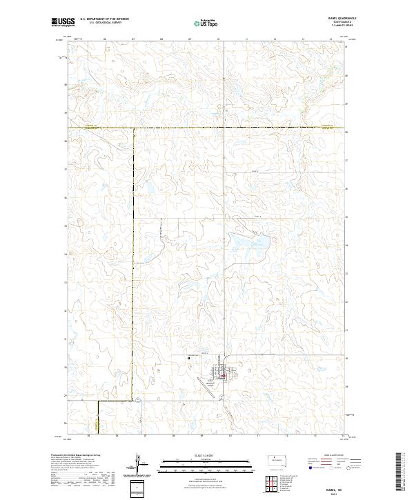 2021 Isabel2021 Print · USGSThe community of Isabel and its surrounding prairie lands are captured here in the early twenty-first century. Family historians and researchers can trace the town's street grid near Hillview Cem or locate rural landmarks like Isabel Lake and Firesteel Cr.
Showing maps 1-25 of 61
Frequently asked questions
- What are the different types of historical maps available for Dewey County?
- What is the oldest map of Dewey County?
- Where can I purchase historical maps of Dewey County for my home or office?
- Where can I download high-res historical maps of Dewey County?
- Are there historical topographic maps available for Dewey County?
- Is there historical aerial imagery available for Dewey County?
- Where are historical maps of Dewey County sourced from?