Old Maps of Parade, South Dakota for Hiking & Exploration
Hike through history with 8 historic maps of Parade. Explore old trails, ghost towns, and forgotten backroads — perfect for outdoor adventurers and local explorers.
- Rediscover forgotten places: Map out old mining camps, roads, and footpaths that no longer exist on modern maps.
- Layer with modern tools: Combine with LiDAR or satellite views to plan hikes through historical terrain.
- Made for exploration: Popular among hikers, overlanders, and local history lovers.
Use these maps to find adventure and explore the hidden past of Parade.
Parade, SD maps
(8)- 1953 Map of McIntosh, 1965 Print
 1953 McIntosh1965 Print · USGSThe north-central Dakota prairie is captured here during the mid-fifties, showing the vast Standing Rock Indian Reservation and the newly formed Oah E Reservoir. Genealogists and historians can trace the Chicago Milwaukee St Paul and Pacific rail line through stops like McIntosh, Walker, and Eagle Butte.3 unique versions available
 - 1958 Map of McIntosh
 1958 McIntosh1958 Print · USGSThe north-central Dakotas appear here in the mid-1950s as massive engineering projects and rail lines shaped the plains. Researchers can trace tribal lands within the Standing Rock Indian Reservation and locate local landmarks like the Keller Mine or the Virginia Siding.
 - 1981 Map of Parade
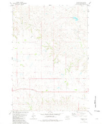 1981 Parade1981 Print · USGSDewey County ranching and transit are documented here in the early 1980s as the rail lines were being phased out. Researchers can trace the ABANDONED railroad grade near Parade or locate family sites like Strong Ranch and Ridgeview Ranch.
 - 1986 Map of Timber Lake
 1986 Timber Lake1986 Print · USGSNorth-central South Dakota in the mid-eighties reveals a landscape of ranching hubs and indigenous lands shaped by the Moreau River and Grand River. Researchers can trace old rail routes near Red Elm and locate remote prairie landmarks like St Patrick Butte or Glad Valley.2 unique versions available
 - 2012 Map of Parade, 2012 Print
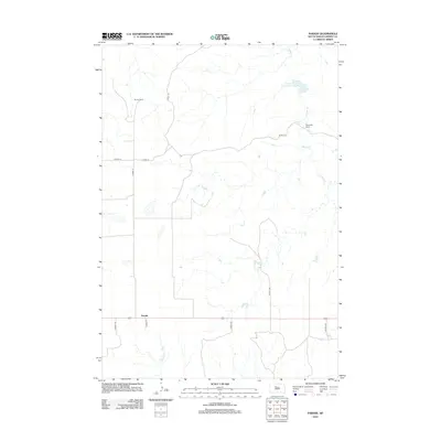 2012 Parade2012 Print · USGSDewey County ranching country is documented here in the early twenty-first century, showing a landscape defined by prairie water management and isolated homesteads. Researchers can locate family landmarks such as Strong Ranch and Ridgeview Ranch, or trace the path of Hosupa Cr near the settlement of Parade.
 - 2015 Map of Parade, 2015 Print
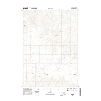 2015 Parade2015 Print · USGSThe open prairie of Dewey County is captured here in the early twenty-first century, centered on the small community of Parade. Researchers can trace the drainage of Goose Cr and Hosupa Cr or locate specific sections within Township 13 North and the Goose Cr Dam.
 - 2017 Map of Parade, 2017 Print
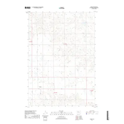 2017 Parade2017 Print · USGSDewey County ranching country is documented here in the mid-2010s, showing a landscape defined by prairie water management and rural sections. Trace the small settlement of Parade or follow the drainage of Goose Cr and Hosmer Cr past Goose Creek Dam.
 - 2021 Map of Parade, 2021 Print
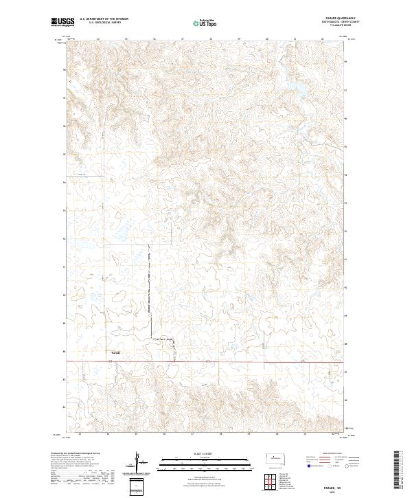 2021 Parade2021 Print · USGSThe community of Parade and the surrounding Dewey County plains are captured in this modern survey of the Missouri Plateau. Local researchers can trace the paths of Goose Cr and Hosapa Cr as they wind through sections of T13N R25E.
End of results
Showing maps 1-8 of 8
Frequently asked questions
- What are the different types of historical maps available for Parade?
- What is the oldest map of Parade?
- Where can I purchase historical maps of Parade for my home or office?
- Where can I download high-res historical maps of Parade?
- Are there historical topographic maps available for Parade?
- Is there historical aerial imagery available for Parade?
- Where are historical maps of Parade sourced from?