Old Maps of Cresbard, South Dakota for Metal Detecting
Plan your next treasure hunt with 9 historic maps of Cresbard. Find old homesites, ghost towns, trails, and gathering spots that may be lost to time — perfect for identifying promising metal detecting locations.
- Locate forgotten sites: Uncover places like long-lost settlements, abandoned rail lines, or gathering spots.
- Plan better hunts: Use map overlays combined with LiDAR or satellite views to narrow in on historically rich areas.
- Made for detectorists: Thousands of hobbyists use these maps to discover relics, coins, and hidden history.
Use these historic maps to boost your research and find new opportunities beneath the surface of Cresbard.
Cresbard, SD maps
(9)- 1899 Map of Northville
 1899 Northville1899 Print · USGSNortheastern South Dakota in the 1890s was a landscape defined by the expansion of the rails and the settlement of the prairie. You can trace the path of the Chicago and Northwestern RR through early townsites like Northville and Rudolph.2 unique versions available
 - 1954 Map of Aberdeen, 1964 Print
 1954 Aberdeen1964 Print · USGSNortheastern South Dakota in the mid-fifties remains a world of rail-dependent prairie towns and sweeping waterfowl refuges. Genealogists can trace family roots through settlements like Eureka and Ipswich or locate rural landmarks near Richmond Lake.2 unique versions available
 - 1956 Map of Aberdeen
 1956 Aberdeen1956 Print · USGSUpper South Dakota during the mid-fifties remains a landscape of rail-connected farming towns and expansive glacial lake basins. Genealogists and historians can trace the paths of the Minneapolis and St Louis railroad through Gettysburg or locate vanished stops near Elm Lake and Richmond Lake.
 - 1966 Map of Cresbard, 1968 Print
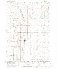 1966 Cresbard1968 Print · USGSThe prairie landscape of Faulk County is captured here in the mid-1960s, centered on the small town of Cresbard. Genealogists and local historians can trace family locations across Fairview Twp and find the Cresbard Cem and Hope Cem.
 - 1985 Map of Aberdeen
 1985 Aberdeen1985 Print · USGSThe James River valley of South Dakota is seen here in the mid-eighties, centered on the growing hub of Aberdeen. Genealogists and historians can trace the rail corridors of the Chicago and North Western or find rural landmarks like Bath Corner and South Scatterwood Lake.2 unique versions available
 - 2012 Map of Cresbard, 2012 Print
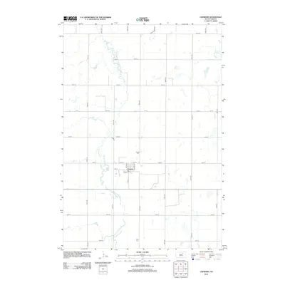 2012 Cresbard2012 Print · USGSCovers Cresbard, including Edmunds County, Faulk County, and other nearby areas
 - 2015 Map of Cresbard, 2015 Print
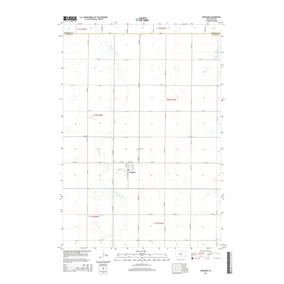 2015 Cresbard2015 Print · USGSCovers Cresbard, including Edmunds County, Faulk County, and other nearby areas
 - 2017 Map of Cresbard, 2017 Print
 2017 Cresbard2017 Print · USGSCovers Cresbard, including Edmunds County, Faulk County, and other nearby areas
 - 2021 Map of Cresbard, 2021 Print
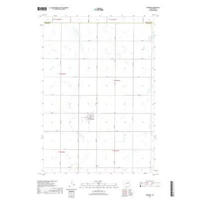
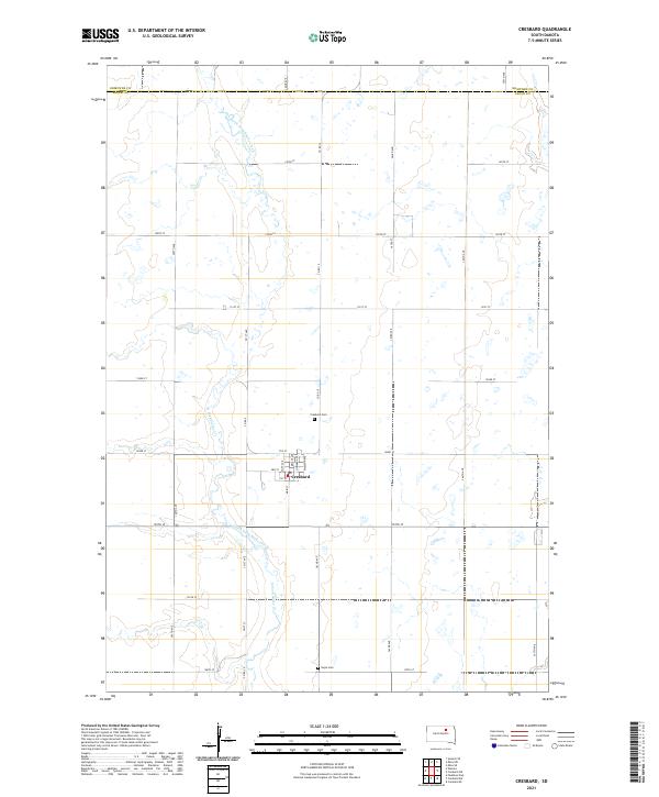 2021 Cresbard2021 Print · USGSThe rural town of Cresbard is centered in this Faulk County landscape as it appeared in the early 2020s. Genealogists and local historians can trace the town's street layout and locate nearby landmarks like Cresbard Cem and the winding North Fork Snake Creek.
End of results
Showing maps 1-9 of 9
Top cities near Cresbard
Frequently asked questions
- What are the different types of historical maps available for Cresbard?
- What is the oldest map of Cresbard?
- Where can I purchase historical maps of Cresbard for my home or office?
- Where can I download high-res historical maps of Cresbard?
- Are there historical topographic maps available for Cresbard?
- Is there historical aerial imagery available for Cresbard?
- Where are historical maps of Cresbard sourced from?