Old Maps of Hamlin County, South Dakota for Genealogy
Trace your family roots with 79 historic maps of Hamlin County. These high-res maps reveal old neighborhoods, homesites, landmarks, and streets — helping you uncover where your ancestors lived and how the area evolved over time.
- Explore historic neighborhoods: Identify where your relatives may have lived in the 1800s or 1900s.
- Compare maps over time: Trace the changes in streets, buildings, and landmarks for multi-generational research.
- Perfect for genealogy & ancestry research: Used by family historians and researchers to map out lineage and migration.
These maps are an incredible resource for exploring your personal connection to Hamlin County's past.
Hamlin County, SD maps
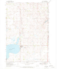
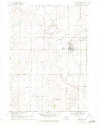
(79)- 1953 Map of Watertown, 1968 Print
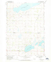
 1953 Watertown1968 Print · USGSEastern South Dakota and the Minnesota borderlands are captured here during the mid-twentieth century as the region's agricultural and rail-service centers thrived. Genealogists and local historians can trace family-named sites across the Coteau des Prairies and find landmarks in Watertown, De Smet, and Brookings.3 unique versions available
 - 1958 Map of Watertown
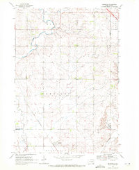
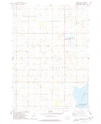
 1958 Watertown1958 Print · USGSThe eastern South Dakota prairie and the Minnesota borderlands are captured here in the late fifties, showcasing a landscape of terminal moraine lakes and burgeoning rail hubs. Genealogists and historians can trace the early paths of the Chicago and North Western railroad or locate family roots in Watertown, Clark, or the Sisseton Indian Reservation.2 unique versions available
 - 1969 Map of Hayti, 1971 Print
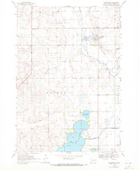
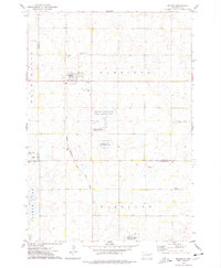
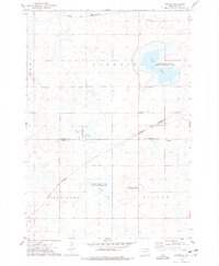
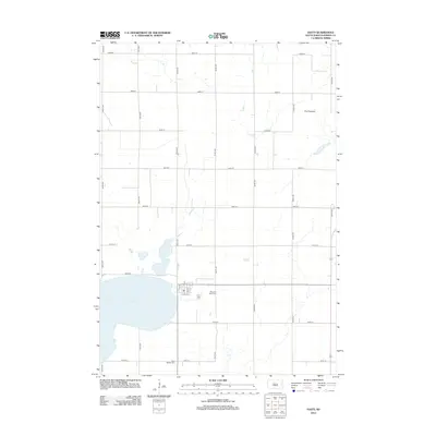
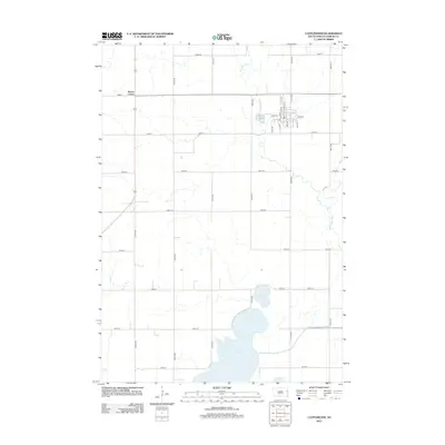
 1969 Hayti1971 Print · USGSThe town of Hayti and the waters of Lake Marsh dominate this Hamlin County landscape in the late sixties. Genealogists and local researchers can trace family landmarks like Pleasant View Cem, West Norden Cem, and the path of the Burlington Northern railroad.
 - 1969 Map of Dempster, 1971 Print
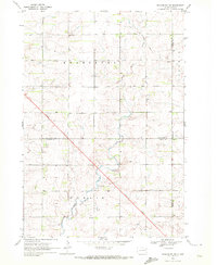
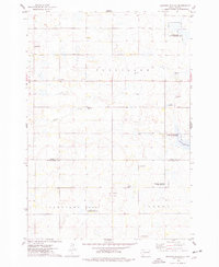
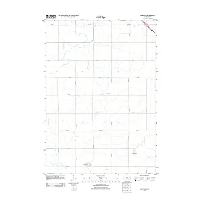
 1969 Dempster1971 Print · USGSHamlin and Deuel counties appear here in the late sixties, showing the agricultural landscape near the Big Sioux River. Genealogists can locate family sites near Bemis Cem or trace the path of the Chicago and North Western rail line.2 unique versions available
 - 1969 Map of Castlewood, 1971 Print
 1969 Castlewood1971 Print · USGSThe Big Sioux River valley in the late sixties reveals a landscape of prairie agriculture and rail-side development. Genealogists and local historians can trace Castlewood town sites, the Chicago And North Western line, and family landmarks like Kones Corner.
 - 1969 Map of Lake Norden, 1971 Print
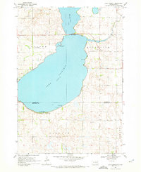
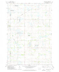
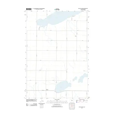
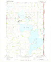 1969 Lake Norden1971 Print · USGSHamlin County and its neighbors are seen here in the late sixties, a landscape defined by prairie lakes and the Burlington Northern line. Researchers can trace rural genealogy through South Trinity Cem, Apostolic Cem, and the settlement at Alsville.
 - 1969 Map of Pelican Lake, 1971 Print
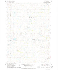
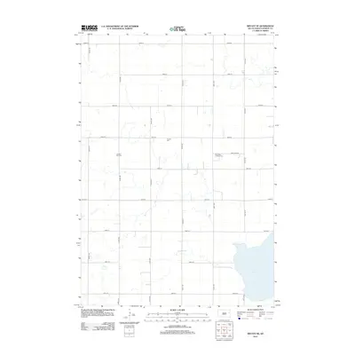
 1969 Pelican Lake1971 Print · USGSThe glacial prairies of eastern South Dakota are captured here in the late sixties, showing the rural landscape of Codington and Hamlin Counties. Researchers can trace the Burlington Northern rail line through Foley and locate the Oxford Cem.
 - 1969 Map of Watertown SE, 1972 Print
 1969 Watertown SE1972 Print · USGSCodington County's agricultural heartland is captured here in the late sixties as the outskirts of Watertown expanded. Genealogists and local historians can trace the Chicago and North Western rail line past Appleby and Five Ponds.
 - 1969 Map of Lake Poinsett, 1972 Print
 1969 Lake Poinsett1972 Print · USGSLakeside recreation and rural life meet at the Hamlin and Brookings county line in the late sixties. Researchers can trace local landmarks like Bakke Cem, the Stone Bridge crossing, and the early developments at Arlington Beach.
 - 1970 Map of Kranzburg SW, 1972 Print
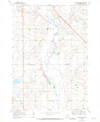
 1970 Kranzburg SW1972 Print · USGSEastern South Dakota’s agricultural landscape is documented here just as modern highway expansion was beginning to reshape the prairie in the early seventies. Genealogists can locate the local Townhall or trace the winding path of Stray Horse Creek through the townships of Kranzburg and Hamlin.2 unique versions available
 - 1970 Map of Estelline, 1972 Print
 1970 Estelline1972 Print · USGSEstelline at the start of the 1970s shows a classic prairie rail town defined by the Big Sioux River and the Chicago and North Western line. Genealogists and local historians can locate family plots at the local Cem or trace landmarks like the Estelline Municipal Airport and numerous rural Gravel Pits.
 - 1973 Map of Bryant NE, 1978 Print
 1973 Bryant NE1978 Print · USGSHamlin County's prairie wetlands are documented here in the early 1970s, showcasing a landscape of rural townships and scattered farmsteads. Researchers can locate family landmarks like Pioneer Cem, Zion Cem, and New Hope Ch near the banks of Lake Marsh.
 - 1973 Map of Bryant, 1978 Print
 1973 Bryant1978 Print · USGSBryant sits at a vital railroad crossroads in the mid-1970s, surrounded by the wetlands and waterfowl production areas of eastern South Dakota. Researchers can locate early township cemeteries like St Marys Cem and trace the Milwaukee Road tracks.
 - 1973 Map of Gertson Slough, 1978 Print
 1973 Gertson Slough1978 Print · USGSHamlin and Kingsbury counties are captured here in the early seventies, showing a landscape defined by prairie wetlands and rural townships. Genealogists can locate several family landmarks and community sites, such as the Scandinavian Cemetery, Garfield Church, and St Peters Cemetery.
 - 1973 Map of Grover, 1978 Print
 1973 Grover1978 Print · USGSCodington and Hamlin Counties were characterized by a vast network of glacial sloughs and rail lines in the 1970s. Researchers can locate specific rural landmarks like the Townhall, Emmanuel Church, and the tracks of the Chicago and North Western.
 - 1973 Map of Vienna East, 1978 Print
 1973 Vienna East1978 Print · USGSRail lines and wildlife conservation areas define this part of Hamlin County in the early 1970s. Researchers can locate the Dixon Cem, the settlement of Vienna, and numerous hunting grounds like the Rasmussen State Public Shooting Area.
 - 1973 Map of Hazel, 1978 Print
 1973 Hazel1978 Print · USGSHamlin County and its surrounding prairie townships are captured here in the early 1970s as a hub for both rail transit and wildlife conservation. Genealogists and local historians can trace the community around Hazel, including Our Saviours Ch and the Hazel Cem near the Burlington Northern tracks.
 - 1985 Map of Clear Lake
 1985 Clear Lake1985 Print · USGSThe South Dakota and Minnesota borderlands are captured here in the mid-eighties as a landscape of prairie towns and wildlife refuges. Researchers can trace the legacy of regional transport through the Chicago and North Western tracks and the Old Railroad Grade.2 unique versions available
 - 1985 Map of Watertown
 1985 Watertown1985 Print · USGSEastern South Dakota in the mid-eighties remains a landscape of expansive prairie wetlands and agricultural rail towns. Genealogists and local historians can trace the routes of the CHICAGO AND NORTH WESTERN railroad through Garden City, Vienna, and Watertown.2 unique versions available
 - 2012 Map of Estelline, 2012 Print
 2012 Estelline2012 Print · USGSCovers Hamlin County, including Estelline, Estelline Township, and other nearby areas
 - 2012 Map of Dempster, 2012 Print
 2012 Dempster2012 Print · USGSCovers Hamlin County, including Dempster, Poinsett Hutterite Colony, and other nearby areas
 - 2012 Map of Bryant NE, 2012 Print
 2012 Bryant NE2012 Print · USGSCovers Hamlin County, including Opdahl Township, Oxford Township, and other nearby areas
 - 2012 Map of Hayti, 2012 Print
 2012 Hayti2012 Print · USGSCovers Hamlin County, including Hayti, Opdahl Township, and other nearby areas
 - 2012 Map of Pelican Lake, 2012 Print
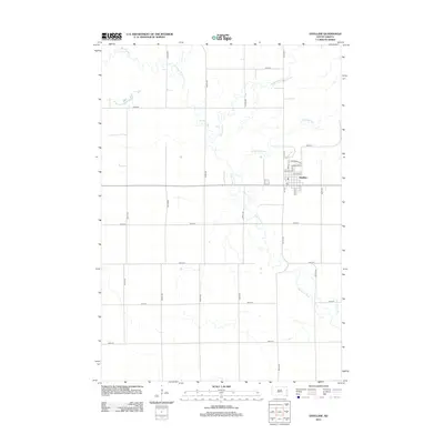
 2012 Pelican Lake2012 Print · USGSCovers Hamlin County, including Watertown, Oxford Township, and other nearby areas
 - 2012 Map of Castlewood, 2012 Print
 2012 Castlewood2012 Print · USGSCovers Hamlin County, including Castlewood, Castlewood Township, and other nearby areas
Showing maps 1-25 of 79
Frequently asked questions
- What are the different types of historical maps available for Hamlin County?
- What is the oldest map of Hamlin County?
- Where can I purchase historical maps of Hamlin County for my home or office?
- Where can I download high-res historical maps of Hamlin County?
- Are there historical topographic maps available for Hamlin County?
- Is there historical aerial imagery available for Hamlin County?
- Where are historical maps of Hamlin County sourced from?