Old Maps of Harding, South Dakota for Metal Detecting
Plan your next treasure hunt with 10 historic maps of Harding. Find old homesites, ghost towns, trails, and gathering spots that may be lost to time — perfect for identifying promising metal detecting locations.
- Locate forgotten sites: Uncover places like long-lost settlements, abandoned rail lines, or gathering spots.
- Plan better hunts: Use map overlays combined with LiDAR or satellite views to narrow in on historically rich areas.
- Made for detectorists: Thousands of hobbyists use these maps to discover relics, coins, and hidden history.
Use these historic maps to boost your research and find new opportunities beneath the surface of Harding.
Harding, SD maps
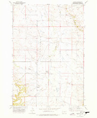
(10)- 1935 Map of Harding
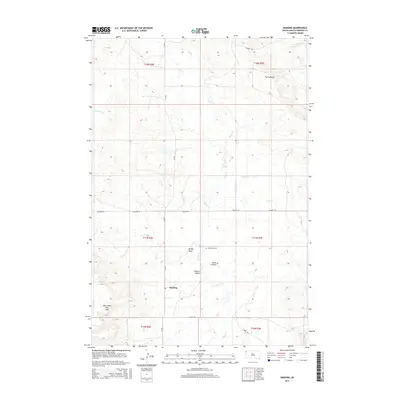
 1935 Harding1935 Print · USGSNorthwestern South Dakota in the mid-1930s was a vast expanse of range land where local life centered on the Custer National Forest and isolated outposts. Genealogists and historians can trace the early road networks and rural hubs like Harding, Gustave, and Mud Butte along the banks of the North Fork Moreau River.
 - 1954 Map of Lemmon, 1964 Print
 1954 Lemmon1964 Print · USGSThe high plains of South Dakota and North Dakota are documented here during the mid-twentieth century. Family researchers can trace dozens of country school sites like Green Cabin School and Bierke School alongside landmarks like The Castles.2 unique versions available
 - 1957 Map of Lemmon
 1957 Lemmon1957 Print · USGSThe northwestern plains of South Dakota and North Dakota are captured here in the mid-fifties, centered on the rail hub of Lemmon. Genealogists and historians can trace dozens of rural schoolhouses and vanished sites like Imogene and the Shadehill Reservoir area.
 - 1977 Map of Harding
 1977 Harding1977 Print · USGSHarding and the West Short Pine Hills are captured in the late seventies during a period of steady ranching and rural life. Researchers can find precise locations for the Brant School, Short Pine Cem, and the distinctive terrain of The Jump Off.
 - 1980 Map of Redig
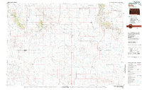 1980 Redig1980 Print · USGSNorthwest South Dakota is captured in the early eighties as a landscape of isolated ranges and sprawling ranchland. Researchers can locate remote outposts like Redig and Harding, or trace the rugged geography of Slim Buttes and the Short Pine Hills.
 - 1993 Map of Harding, 1996 Print
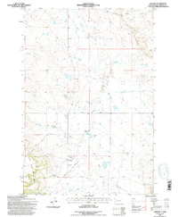 1993 Harding1996 Print · USGSHarding and the northwestern plains of South Dakota appear here in the early nineties, just as the landscape was being revised via aerial study. You can trace the rural landmarks of the period, from the Brant School and Short Pine Cem to the terrain at The Jump Off.
 - 2012 Map of Harding, 2012 Print
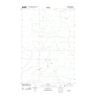 2012 Harding2012 Print · USGSCovers Harding, including Harding County, United States, and other nearby areas
 - 2015 Map of Harding, 2015 Print
 2015 Harding2015 Print · USGSCovers Harding, including Harding County, United States, and other nearby areas
 - 2017 Map of Harding, 2017 Print
 2017 Harding2017 Print · USGSCovers Harding, including Harding County, United States, and other nearby areas
 - 2021 Map of Harding, 2021 Print
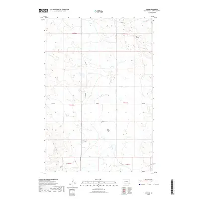
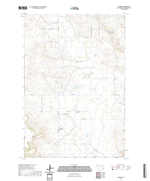 2021 Harding2021 Print · USGSHarding County ranching country is captured here in the early twenty-first century as the landscape transitions into the broken breaks of the Little Grand River. Genealogists can locate Short Pine Cem and family-named landmarks like Holcomb Pl or Dodge Draw.
End of results
Showing maps 1-10 of 10
Top cities near Harding
Frequently asked questions
- What are the different types of historical maps available for Harding?
- What is the oldest map of Harding?
- Where can I purchase historical maps of Harding for my home or office?
- Where can I download high-res historical maps of Harding?
- Are there historical topographic maps available for Harding?
- Is there historical aerial imagery available for Harding?
- Where are historical maps of Harding sourced from?