Old Maps of Reva, South Dakota for Genealogy
Trace your family roots with 11 historic maps of Reva. These high-res maps reveal old neighborhoods, homesites, landmarks, and streets — helping you uncover where your ancestors lived and how the area evolved over time.
- Explore historic neighborhoods: Identify where your relatives may have lived in the 1800s or 1900s.
- Compare maps over time: Trace the changes in streets, buildings, and landmarks for multi-generational research.
- Perfect for genealogy & ancestry research: Used by family historians and researchers to map out lineage and migration.
These maps are an incredible resource for exploring your personal connection to Reva's past.
Reva, SD maps
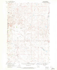
(11)- 1935 Map of Reva
 1935 Reva1935 Print · USGSHarding County ranching country and the rugged Slim Buttes region are captured here in the mid-1930s. Genealogists and local historians can trace family-named landmarks like Turkey Track Ranch and early post offices at Reva, Ludlow, and Glenlevit.
 - 1954 Map of Lemmon, 1964 Print
 1954 Lemmon1964 Print · USGSThe high plains of South Dakota and North Dakota are documented here during the mid-twentieth century. Family researchers can trace dozens of country school sites like Green Cabin School and Bierke School alongside landmarks like The Castles.2 unique versions available
 - 1957 Map of Lemmon
 1957 Lemmon1957 Print · USGSThe northwestern plains of South Dakota and North Dakota are captured here in the mid-fifties, centered on the rail hub of Lemmon. Genealogists and historians can trace dozens of rural schoolhouses and vanished sites like Imogene and the Shadehill Reservoir area.
 - 1968 Map of Reva, 1971 Print
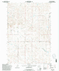
 1968 Reva1971 Print · USGSHarding County ranching country is captured here in the late sixties as the community of Reva remained a quiet hub for the surrounding plains. Genealogists and local historians can trace family-named landmarks like McPherson Spring and find the Slim Buttes Ch.
 - 1980 Map of Camp Crook
 1980 Camp Crook1980 Print · USGSNorthwestern South Dakota and the North Dakota borderlands come into focus in the late seventies, showing a landscape of high buttes and river breaks. Researchers can trace remote ranching outposts like Ralph and Ladner or locate landmarks like Window Rock and the Harding County Airport.
 - 1993 Map of Reva, 1996 Print
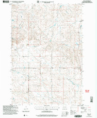
 1993 Reva1996 Print · USGSHarding County ranching country and the Slim Buttes region are captured here in the early nineties. Researchers can locate family landmarks like the Besler Ranch, the Reva Sch, and the historic site of the Battle of Slim Buttes.
 - 2005 Map of Reva, 2007 Print
 2005 Reva2007 Print · USGSHarding County ranching and frontier history are preserved in this mid-2000s survey of the Reva area. Researchers can trace family ranch lands like Besler Ranch and locate the historic Battle of Slim Buttes site and Our Lady of the Prairie Ch.
 - 2012 Map of Reva, 2012 Print
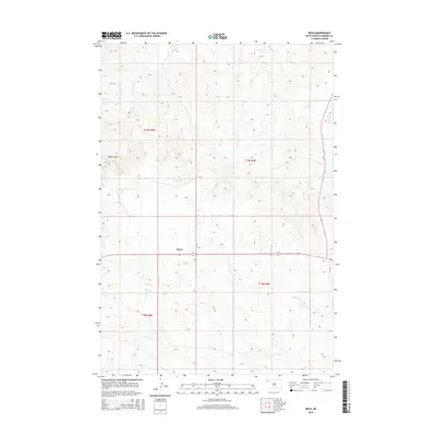
 2012 Reva2012 Print · USGSCovers Reva, including Harding County, United States, and other nearby areas
 - 2015 Map of Reva, 2015 Print
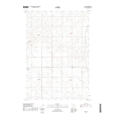
 2015 Reva2015 Print · USGSCovers Reva, including Harding County, United States, and other nearby areas
 - 2017 Map of Reva, 2017 Print
 2017 Reva2017 Print · USGSCovers Reva, including Harding County, United States, and other nearby areas
 - 2021 Map of Reva, 2021 Print
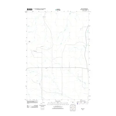
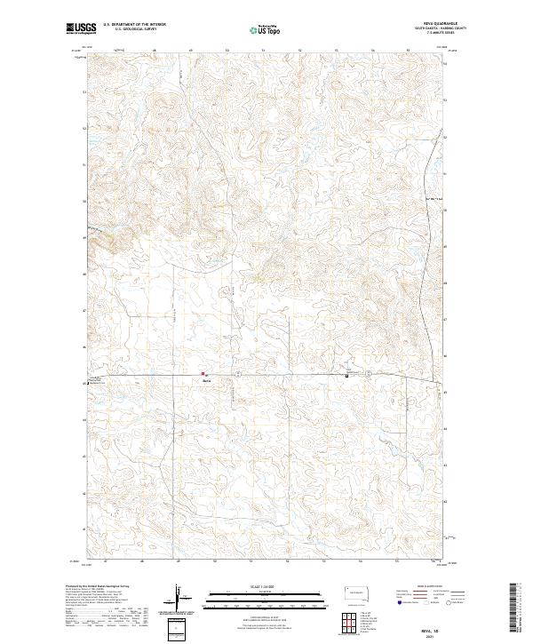 2021 Reva2021 Print · USGSHarding County ranching country is mapped here in the modern era, centered on the historic Slim Buttes area. Researchers can locate the Slim Buttes Battlefield Monument Cem, the settlement of Reva, and local water sources like McPherson Spring.
End of results
Showing maps 1-11 of 11
Frequently asked questions
- What are the different types of historical maps available for Reva?
- What is the oldest map of Reva?
- Where can I purchase historical maps of Reva for my home or office?
- Where can I download high-res historical maps of Reva?
- Are there historical topographic maps available for Reva?
- Is there historical aerial imagery available for Reva?
- Where are historical maps of Reva sourced from?