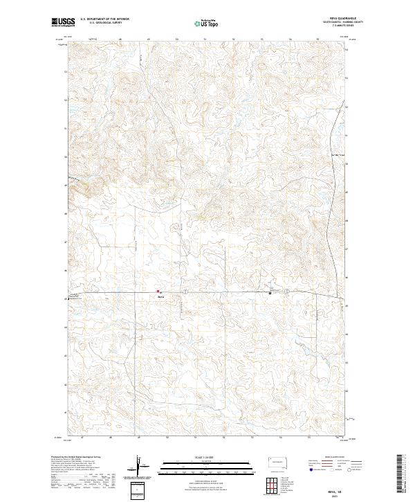
2021 Map of Reva
USGS Topo · Published 2021About this map
Slim Buttes Battlefield Monument Cem stands as a significant historical anchor in this portion of Harding County, South Dakota. This modern survey details the high-plains landscape around the settlement of Reva, where family-named landmarks like Tickle Hill Pl and Rocky Ridge Pl define the local geography. The area is characterized by a network of drainage systems, including Fisher Cr, Gap Cr, and Bar H Cr, which flow through the draws and plateaus. Sources of water are vital in this environment, as evidenced by McPherson Spring and Bar H Spring. The presence of the Slim Buttes Cem alongside the battlefield monument highlights the deep historical roots of this ranching and prairie country, providing a precise look at the township and range divisions of the early 21st century.
Find a feature on this map
21 named features on this map. Tap any name to fly to it.
Don’t see what you’re looking for? This feature index may not catch every label — zoom into the map to look around manually.
Map Details
Editions of this 2021 Reva Map
This is the sole edition of this map. No revisions or reprints were ever made.
Other maps of this area

1935 · Reva
USGS Topo · 1:125,000

1935 · Hoover
USGS Topo · 1:125,000

1954 · Lemmon
USGS Topo · 1:250,000

1957 · Lemmon
USGS Topo · 1:250,000

1968 · J B Hill
USGS Topo · 1:24,000

1968 · Reva
USGS Topo · 1:24,000

1968 · Flat Top Butte
USGS Topo · 1:24,000

1969 · Battleship Rock
USGS Topo · 1:24,000

1969 · Reva NW
USGS Topo · 1:24,000

1969 · Reva NE
USGS Topo · 1:24,000