Old Maps of Weta, South Dakota for Metal Detecting
Plan your next treasure hunt with 8 historic maps of Weta. Find old homesites, ghost towns, trails, and gathering spots that may be lost to time — perfect for identifying promising metal detecting locations.
- Locate forgotten sites: Uncover places like long-lost settlements, abandoned rail lines, or gathering spots.
- Plan better hunts: Use map overlays combined with LiDAR or satellite views to narrow in on historically rich areas.
- Made for detectorists: Thousands of hobbyists use these maps to discover relics, coins, and hidden history.
Use these historic maps to boost your research and find new opportunities beneath the surface of Weta.
Weta, SD maps
(8)- 1950 Map of Weta, 1952 Print
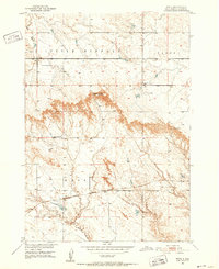 1950 Weta1952 Print · USGSJackson County ranching and rail life are captured here during the mid-century, showing the isolated communities along the plains. Genealogists and historians can trace the Milwaukee Road through Weta and locate the Peterson Ranch.2 unique versions available
 - 1955 Map of Martin, 1968 Print
 1955 Martin1968 Print · USGSTribal lands and rail corridors define the South Dakota plains in the mid-fifties, from the sand hills to the badlands. Genealogists and historians can trace the early layout of Pine Ridge Indian Reservation settlements and find small rail towns like Stamford and Witten.2 unique versions available
 - 1958 Map of Martin
 1958 Martin1958 Print · USGSSouth Dakota's southern plains are documented here in the late fifties, showing the expansive Pine Ridge and Rosebud Indian Reservations. Genealogists and historians can locate early settlements along the Chicago Milwaukee St Paul and Pacific line or find family roots near Martin and the Indian Cemetery.
 - 1980 Map of Kadoka
 1980 Kadoka1980 Print · USGSWestern South Dakota's open plains and Badlands are captured here in the early eighties, showcasing a region defined by its railroads and reservations. Researchers can trace the routes of the Chicago and North Western or locate local landmarks like Kadoka Lake and Wanblee.
 - 2012 Map of Weta, 2012 Print
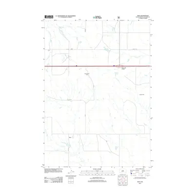 2012 Weta2012 Print · USGSCovers Weta, including Jackson County, United States, and other nearby areas
 - 2015 Map of Weta, 2015 Print
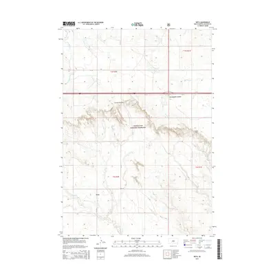 2015 Weta2015 Print · USGSCovers Weta, including Jackson County, United States, and other nearby areas
 - 2017 Map of Weta, 2017 Print
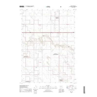 2017 Weta2017 Print · USGSCovers Weta, including Jackson County, United States, and other nearby areas
 - 2021 Map of Weta, 2021 Print
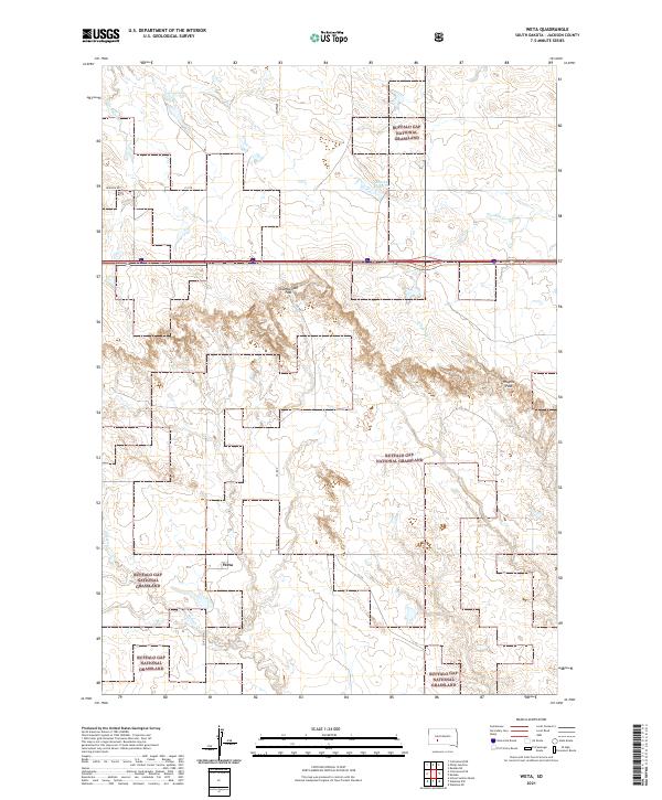 2021 Weta2021 Print · USGSThe settlement of Weta and the surrounding Jackson County ranch lands are shown here in the early 2020s. Researchers can trace land use patterns across the Buffalo Gap National Grassland and find landmarks like Chamberlain Pass and Boocke Reservoir.
End of results
Showing maps 1-8 of 8
Top cities near Weta
Frequently asked questions
- What are the different types of historical maps available for Weta?
- What is the oldest map of Weta?
- Where can I purchase historical maps of Weta for my home or office?
- Where can I download high-res historical maps of Weta?
- Are there historical topographic maps available for Weta?
- Is there historical aerial imagery available for Weta?
- Where are historical maps of Weta sourced from?