1900s (20th Century) Maps of Marlar Township, South Dakota
Explore 7 historic maps of Marlar Township from the 1900s (20th Century). These maps offer a rare glimpse into what life looked like during the 1900s — showing old roads, neighborhoods, homes, and landmarks that have changed or disappeared over time.
Whether you're researching your family's past, planning a metal detecting trip, or studying how Marlar Township's landscape evolved across the 1900s, these high-resolution maps are a powerful tool for exploring the history of this region.
- Focus on a specific era: All maps on this page are from the 1900s, giving you a focused view of this time period.
- See what’s changed: Compare century-old streets, trails, and buildings to today's modern landscape using overlays and satellite layers.
- Research with precision: Use these maps for genealogy, historical research, land use analysis, or educational projects.
- View, download, or print: Maps are fully viewable online in high resolution, and can be downloaded or printed for your own records.
Start exploring Marlar Township's history through authentic maps from the 1900s. This is your window into the past.
Marlar Township, SD maps
(7)- 1953 Map of Huron, 1959 Print
 1953 Huron1959 Print · USGSCentral South Dakota comes alive in the mid-1950s as a thriving rail and agricultural corridor between the Missouri and James Rivers. Trace the legacy of family farms and prairie towns like Huron, Faulkton, and Wessington Springs along the historic Chicago and North Western rail lines.3 unique versions available
 - 1954 Map of Huron, 1977 Print
 1954 Huron1977 Print · USGSCentral South Dakota was a landscape of grain elevators and river bends during the mid-fifties. Genealogists and historians can trace the development of the James River valley through railroad towns like Redfield and the sprawling Crow Creek Indian Reservation.
 - 1973 Map of Gannvalley, 1976 Print
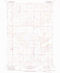 1973 Gannvalley1976 Print · USGSThe Buffalo and Jerauld county line comes alive in the mid-1970s, showcasing the communal Spring Valley Colony and the rural reaches of Crow Creek. Local researchers can trace family lands in Eden or Elvira and locate the Spring Hill Cem.
 - 1973 Map of Cottonwood Lake, 1976 Print
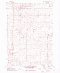
 1973 Cottonwood Lake1976 Print · USGSThe South Dakota prairie near the Jerauld and Hand County line comes into focus in the early 1970s, showing a landscape of scattered lakes and rural townships. Trace local landmarks like the New Zion Zion Cem, the Townhall, and the shores of Spring Lake.
 - 1973 Map of Mittelstedt Slough, 1976 Print
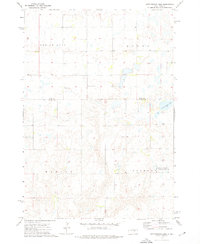
 1973 Mittelstedt Slough1976 Print · USGSThe wetlands of central South Dakota are meticulously detailed in the early 1970s, showing the intersection of Hand, Buffalo, and Jerauld counties. Researchers can trace rural landmarks like the Ebenezer Ch, the small settlement of Eden, and the National Waterfowl Production Area.
 - 1973 Map of Gannvalley SE, 1976 Print
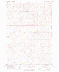 1973 Gannvalley SE1976 Print · USGSJerauld County's agricultural heartland is documented here in the early seventies during a period of established prairie farming. Genealogists and local historians can pinpoint Harmony Ch and trace the boundaries of the Pleasant and Logan townships.
 - 1985 Map of Huron, 1986 Print
 1985 Huron1986 Print · USGSThe James River valley and the city of Huron come into focus during the mid-eighties as centers of rail and prairie commerce. Genealogists and historians can trace communal sites like Riverside Colony and established rail towns from Wolsey to Woonsocket.2 unique versions available
End of results
Showing maps 1-7 of 7
Top cities near Marlar Township
Frequently asked questions
- What are the different types of historical maps available for Marlar Township?
- What is the oldest map of Marlar Township?
- Where can I purchase historical maps of Marlar Township for my home or office?
- Where can I download high-res historical maps of Marlar Township?
- Are there historical topographic maps available for Marlar Township?
- Is there historical aerial imagery available for Marlar Township?
- Where are historical maps of Marlar Township sourced from?