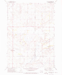
1973 Map of Gannvalley
USGS Topo · Published 1976About this map
Crow Creek meanders through this agricultural landscape at the border of Buffalo and Jerauld counties, anchoring a region defined by its sprawling township divisions. The 1970s survey captures a transition in local land use, notably featuring the Spring Valley Colony, a distinct communal settlement pattern that contrasts with the traditional family farmsteads in the surrounding Eden and Marlar districts.
Find a feature on this map
11 named features on this map. Tap any name to fly to it.
Don’t see what you’re looking for? This feature index may not catch every label — zoom into the map to look around manually.
Map Details
Editions of this 1973 Gannvalley Map
This is the sole edition of this map. No revisions or reprints were ever made.
Other maps of this area
1941 · Pukwana
USGS Topo · 1:62,500
1941 · Kimball North
USGS Topo · 1:62,500
1951 · Pukwana
USGS Topo · 1:62,500
1951 · Kimball North
USGS Topo · 1:62,500
1953 · Huron
USGS Topo · 1:250,000
1954 · Huron
USGS Topo · 1:250,000

1955 · Mitchell
USGS Topo · 1:250,000
1959 · Mitchell
USGS Topo · 1:250,000
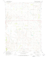
1973 · Big Bend Dam 4 SE
USGS Topo · 1:24,000
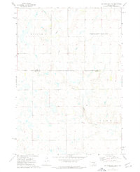
1973 · Big Bend Dam 4 NE
USGS Topo · 1:24,000