Old Maps of Lake Preston, South Dakota for Metal Detecting
Plan your next treasure hunt with 13 historic maps of Lake Preston. Find old homesites, ghost towns, trails, and gathering spots that may be lost to time — perfect for identifying promising metal detecting locations.
- Locate forgotten sites: Uncover places like long-lost settlements, abandoned rail lines, or gathering spots.
- Plan better hunts: Use map overlays combined with LiDAR or satellite views to narrow in on historically rich areas.
- Made for detectorists: Thousands of hobbyists use these maps to discover relics, coins, and hidden history.
Use these historic maps to boost your research and find new opportunities beneath the surface of Lake Preston.
Lake Preston, SD maps
(13)- 1953 Map of Watertown, 1968 Print
 1953 Watertown1968 Print · USGSEastern South Dakota and the Minnesota borderlands are captured here during the mid-twentieth century as the region's agricultural and rail-service centers thrived. Genealogists and local historians can trace family-named sites across the Coteau des Prairies and find landmarks in Watertown, De Smet, and Brookings.3 unique versions available
 - 1958 Map of Watertown
 1958 Watertown1958 Print · USGSThe eastern South Dakota prairie and the Minnesota borderlands are captured here in the late fifties, showcasing a landscape of terminal moraine lakes and burgeoning rail hubs. Genealogists and historians can trace the early paths of the Chicago and North Western railroad or locate family roots in Watertown, Clark, or the Sisseton Indian Reservation.2 unique versions available
 - 1968 Map of Lake Preston East, 1970 Print
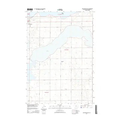
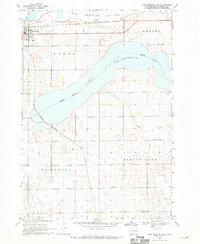 1968 Lake Preston East1970 Print · USGSThe South Dakota prairie comes alive in the late sixties, centered on the rail junction at Lake Preston. Genealogists and historians can trace the intersecting lines of the Chicago and North Western and the United Cem near Spring Lake.
 - 1968 Map of Lake Preston West, 1970 Print
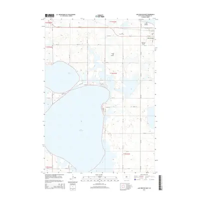
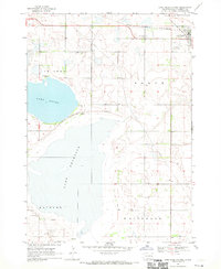 1968 Lake Preston West1970 Print · USGSKingsbury County was a landscape of prairie lakes and rail-line commerce in the late 1960s. Genealogists and local historians can trace the development of Lake Preston and find landmarks like the Lake Preston Cem and the Townhall.
 - 1985 Map of De Smet, 1986 Print
 1985 De Smet1986 Print · USGSEastern South Dakota in the mid-eighties shows a landscape of prairie rail towns and sprawling glacial lakes. Researchers can trace the routes of the Chicago and North Western through De Smet or locate communal sites like Pearl Creek Colony and Cloverleaf Colony.3 unique versions available
 - 2012 Map of Lake Preston West, 2012 Print
 2012 Lake Preston West2012 Print · USGSCovers Lake Preston, including Kingsbury County, United States, and other nearby areas
 - 2012 Map of Lake Preston East, 2012 Print
 2012 Lake Preston East2012 Print · USGSCovers Lake Preston, including Kingsbury County, United States, and other nearby areas
 - 2015 Map of Lake Preston East, 2015 Print
 2015 Lake Preston East2015 Print · USGSCovers Lake Preston, including Kingsbury County, United States, and other nearby areas
 - 2015 Map of Lake Preston West, 2015 Print
 2015 Lake Preston West2015 Print · USGSCovers Lake Preston, including Kingsbury County, United States, and other nearby areas
 - 2017 Map of Lake Preston East, 2017 Print
 2017 Lake Preston East2017 Print · USGSCovers Lake Preston, including Kingsbury County, United States, and other nearby areas
 - 2017 Map of Lake Preston West, 2017 Print
 2017 Lake Preston West2017 Print · USGSCovers Lake Preston, including Kingsbury County, United States, and other nearby areas
 - 2021 Map of Lake Preston East, 2021 Print
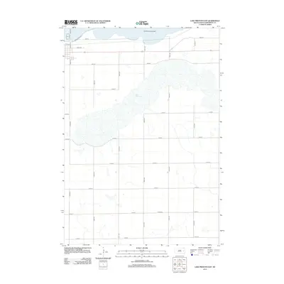
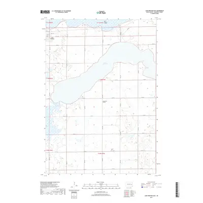
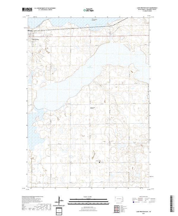 2021 Lake Preston East2021 Print · USGSKingsbury County at the dawn of the 2020s shows a landscape of expansive glacial lakes and high prairie plateau. Researchers can trace rural land divisions around Lake Whitewood or locate family sites near the United Cem.
 - 2021 Map of Lake Preston West, 2021 Print
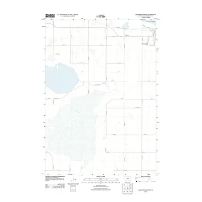
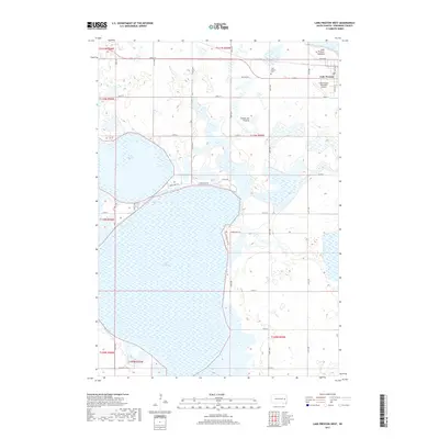
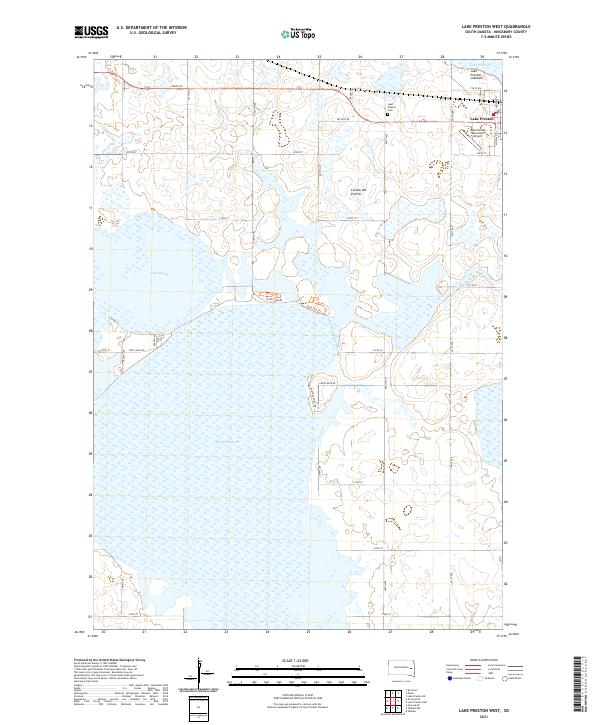 2021 Lake Preston West2021 Print · USGSKingsbury County’s glaciated prairie landscape is captured here in the early twenty-first century, centered on the expansive waters of Lake Thompson. Researchers can locate family plots at Lake Preston Cem or trace rural routes like Twin Lakes Rd and Flood Club Rd.
End of results
Showing maps 1-13 of 13
Top cities near Lake Preston
- De Smet historical maps
- Lake Norden historical maps
- Bryant historical maps
- Oldham historical maps
- Badger historical maps
- Erwin historical maps
See more
Frequently asked questions
- What are the different types of historical maps available for Lake Preston?
- What is the oldest map of Lake Preston?
- Where can I purchase historical maps of Lake Preston for my home or office?
- Where can I download high-res historical maps of Lake Preston?
- Are there historical topographic maps available for Lake Preston?
- Is there historical aerial imagery available for Lake Preston?
- Where are historical maps of Lake Preston sourced from?