Old Maps of Council House, South Dakota for Metal Detecting
Plan your next treasure hunt with 8 historic maps of Council House. Find old homesites, ghost towns, trails, and gathering spots that may be lost to time — perfect for identifying promising metal detecting locations.
- Locate forgotten sites: Uncover places like long-lost settlements, abandoned rail lines, or gathering spots.
- Plan better hunts: Use map overlays combined with LiDAR or satellite views to narrow in on historically rich areas.
- Made for detectorists: Thousands of hobbyists use these maps to discover relics, coins, and hidden history.
Use these historic maps to boost your research and find new opportunities beneath the surface of Council House.
Council House, SD maps
(8)- 1953 Map of Huron, 1959 Print
 1953 Huron1959 Print · USGSCentral South Dakota comes alive in the mid-1950s as a thriving rail and agricultural corridor between the Missouri and James Rivers. Trace the legacy of family farms and prairie towns like Huron, Faulkton, and Wessington Springs along the historic Chicago and North Western rail lines.3 unique versions available
 - 1954 Map of Huron, 1977 Print
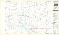
 1954 Huron1977 Print · USGSCentral South Dakota was a landscape of grain elevators and river bends during the mid-fifties. Genealogists and historians can trace the development of the James River valley through railroad towns like Redfield and the sprawling Crow Creek Indian Reservation.
 - 1966 Map of Lower Brule, 1967 Print
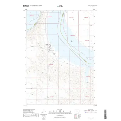
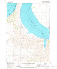 1966 Lower Brule1967 Print · USGSThe Missouri River breaks and the waters of Lake Sharpe define this mid-1960s look at the Lower Brule community. Researchers can locate the Council House, Christ Ch, and early recreation sites like the Counselor Creek Recreation Area.2 unique versions available
 - 1985 Map of Big Bend Dam, 1986 Print
 1985 Big Bend Dam1986 Print · USGSThe Missouri River landscape of the mid-1980s is defined by the massive Big Bend Dam and the sprawling waters of Lake Sharpe. Genealogists and historians can trace reservation boundaries and rural outposts like Fort Thompson, Stephan, and the Miller Dale Colony.2 unique versions available
 - 2012 Map of Lower Brule, 2012 Print
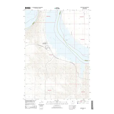
 2012 Lower Brule2012 Print · USGSCovers Council House, including Big Bend District, Lower Brule, and other nearby areas
 - 2015 Map of Lower Brule, 2015 Print
 2015 Lower Brule2015 Print · USGSCovers Council House, including Big Bend District, Lower Brule, and other nearby areas
 - 2017 Map of Lower Brule, 2017 Print
 2017 Lower Brule2017 Print · USGSCovers Council House, including Big Bend District, Lower Brule, and other nearby areas
 - 2021 Map of Lower Brule, 2021 Print
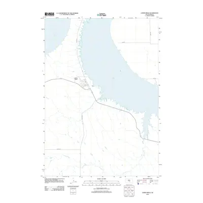
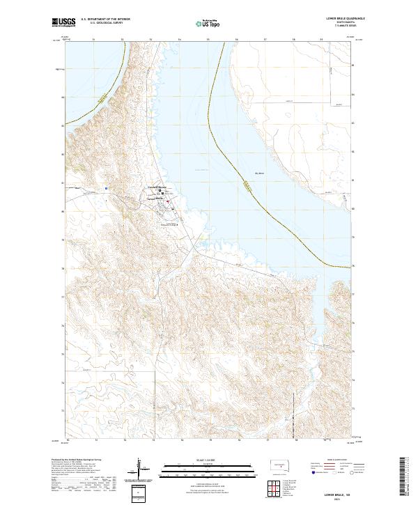 2021 Lower Brule2021 Print · USGSLower Brule and the Missouri River's dramatic shoreline are recorded here as they appeared in the early 2020s. Researchers can locate local landmarks like the Council House and Holy Comforter Cem, or trace the winding course of Counselor Cr.
End of results
Showing maps 1-8 of 8
Top cities near Council House
Frequently asked questions
- What are the different types of historical maps available for Council House?
- What is the oldest map of Council House?
- Where can I purchase historical maps of Council House for my home or office?
- Where can I download high-res historical maps of Council House?
- Are there historical topographic maps available for Council House?
- Is there historical aerial imagery available for Council House?
- Where are historical maps of Council House sourced from?