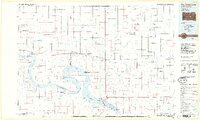
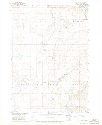
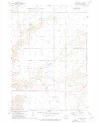
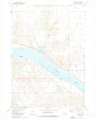
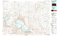
1985 Map of Big Bend Dam
USGS Topo · Published 1986This historical map portrays the area of Big Bend Dam in 1985, primarily covering Hughes County as well as portions of Buffalo County, Hyde County, Lyman County, Hand County, and Stanley County. Featuring a scale of 1:100000, this map provides a highly detailed snapshot of the terrain, roads, buildings, counties, and historical landmarks in the Big Bend Dam region at the time. Published in 1986, it is one of 2 known editions of this map due to revisions or reprints.
Find a feature on this map
80 named features on this map. Tap any name to fly to it.
Don’t see what you’re looking for? This feature index may not catch every label — zoom into the map to look around manually.
Map Details
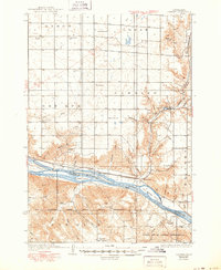
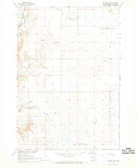
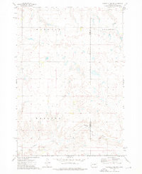
Editions of this 1985 Big Bend Dam Map
2 editions found
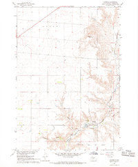
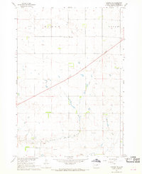
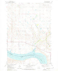
Historical Maps of Council House Through Time
15 maps found

1934 Canning
Hughes County, SD
1937 Canning
Hughes County, SD

1966 Joe Creek
Hughes County, SD

1966 Lower Brule NW
Hughes County, SD
1967 Canning
Hughes County, SD
1967 Canning NW
Hughes County, SD
1967 De Grey NE
Hughes County, SD
1967 De Grey NW
Hughes County, SD

1967 Pierre NE
Hughes County, SD
1973 Chapelle Lake NW
Hughes County, SD

1973 Chapelle Lake SW
Hughes County, SD
1973 De Grey
Hughes County, SD
1973 De Grey SE
Hughes County, SD
1973 Rousseau
Hughes County, SD
1985 Big Bend Dam
Hughes County, SD
Featured Locations
- Millerdale Hutterite Colony, SD
- Grant East Township, SD
- Mac's Corner, Fort Thompson District
- Stephan, Fort Thompson District
- Victory West Township, Fort Thompson District